Uphill
158m
Length
10km
Duration
3h
Elev gain
158m
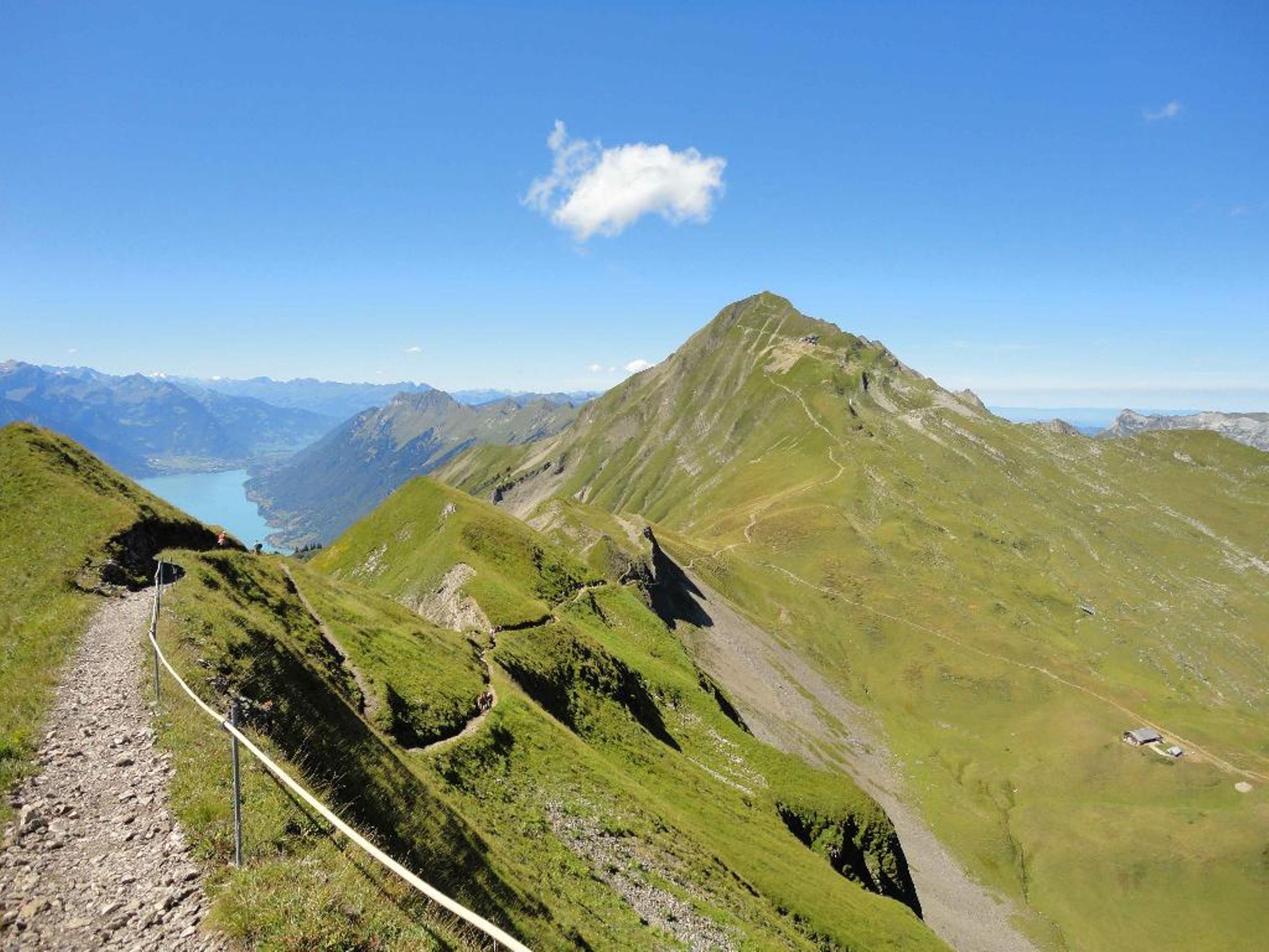
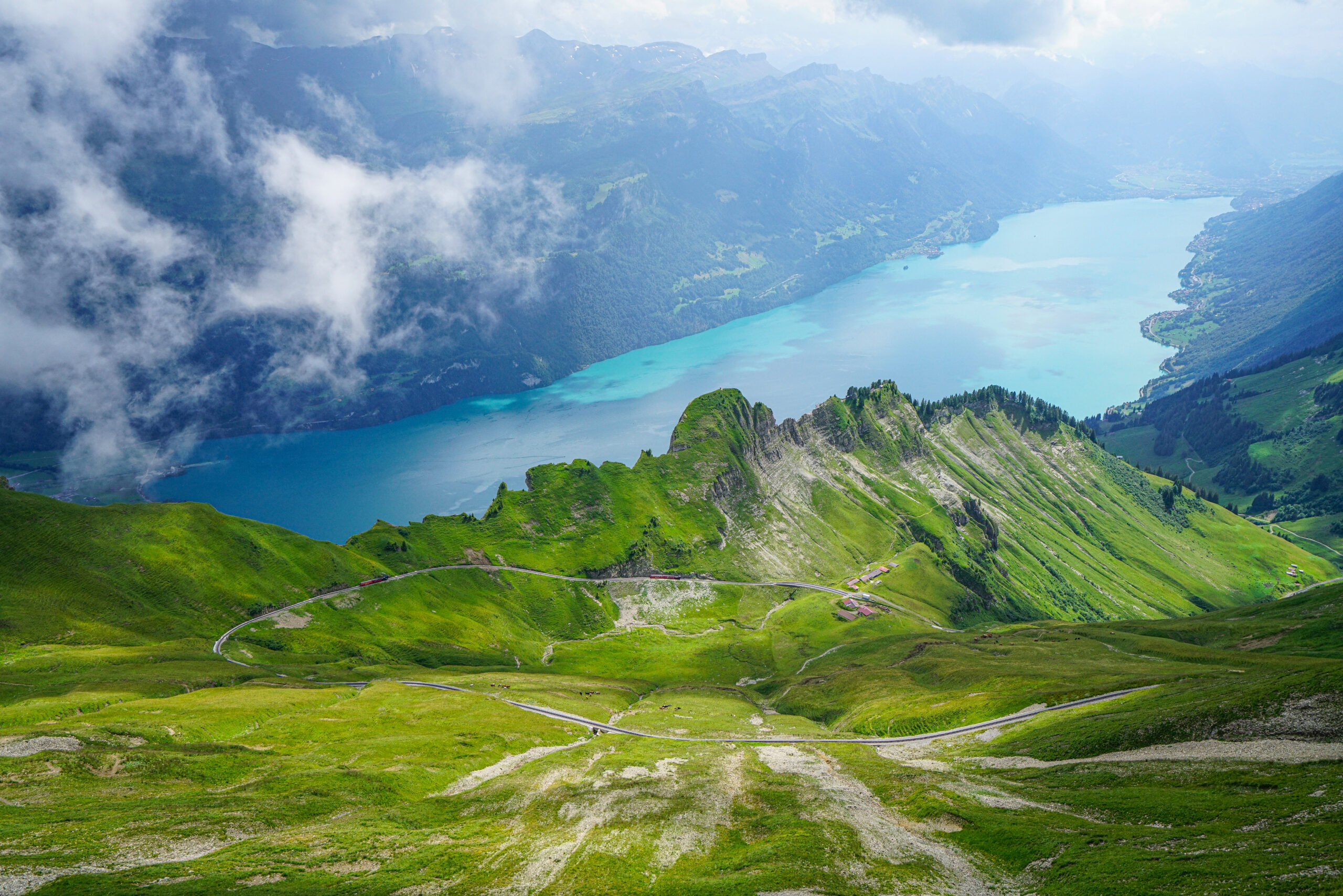
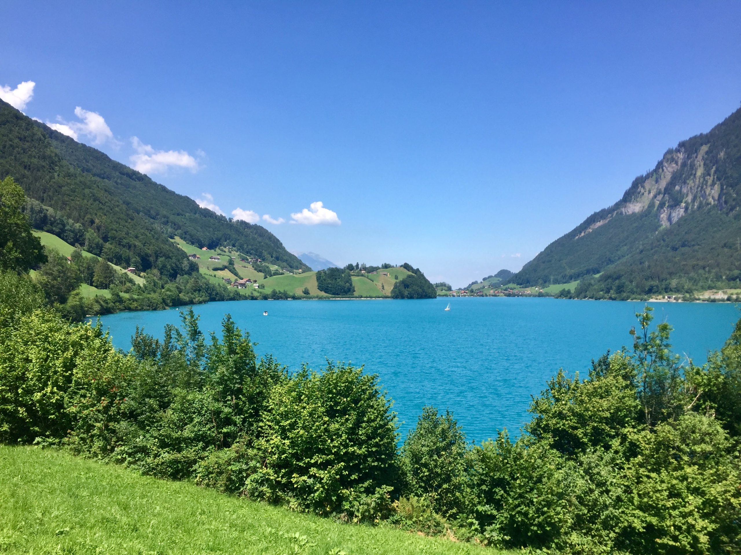
Here is a great walk around Lake Lungern, ideal for the family. Indeed, this route goes around the lake on a well-maintained and well-signposted path, punctuated by small waterfalls.
Note however that the second half takes place near a road.

Already more than 200,000 users!
Uphill
158m
Highest point
741m
Downhill
158m
Lowest point
687m
Route type
Loop
Download the map on your smartphone to save battery and rest assured to always keep access to the route, even without signal.
Includes IGN France and Swisstopo.
I indicate whether dogs are allowed or prohibited on this trail
All year
0 ratings
Also enjoy:

Already more than 200,000 users!