Uphill
1295m
Length
15km
Duration
7h30min
Elev gain
1295m
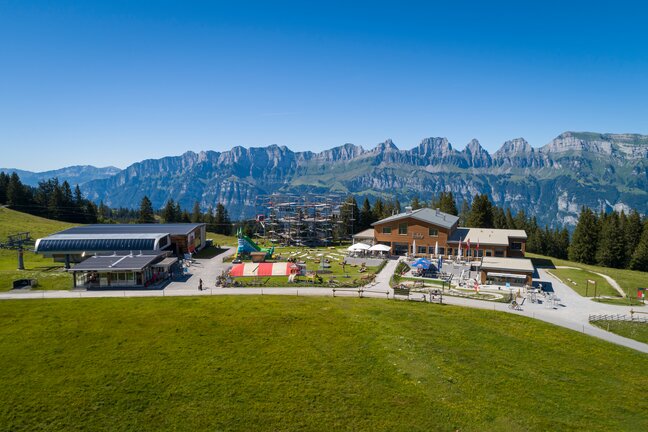
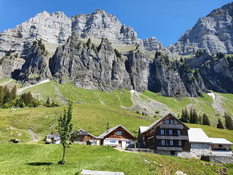
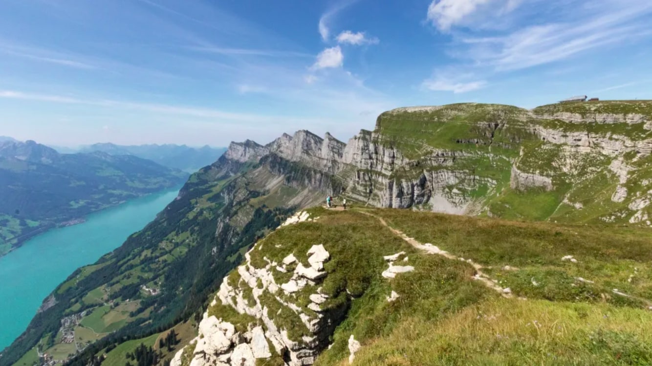
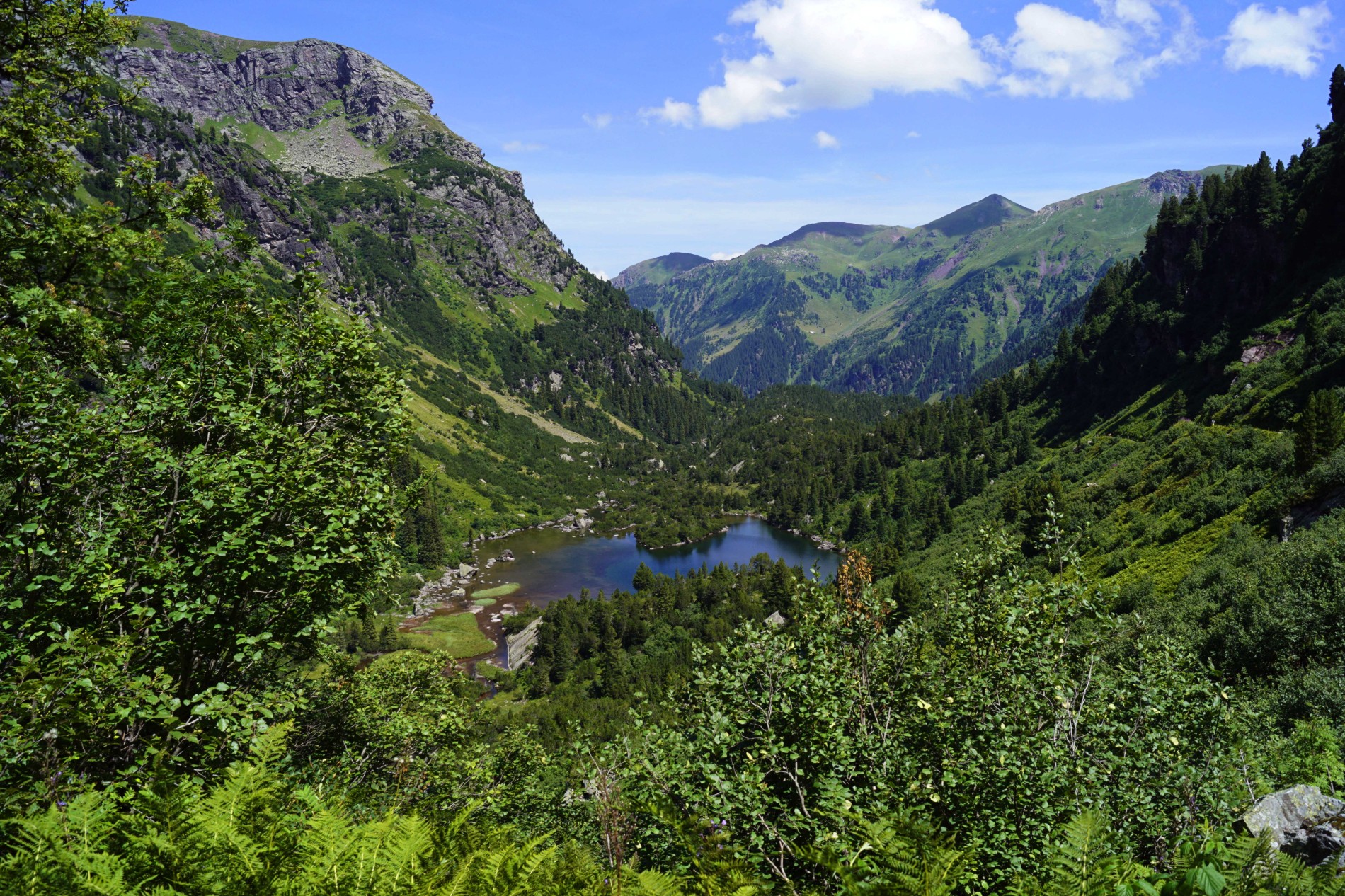
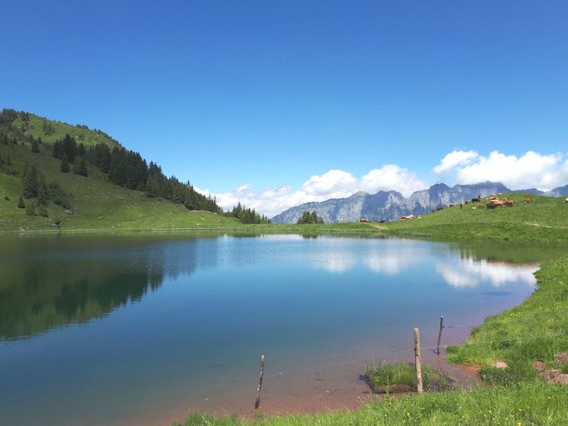
Great hike between Tannenboden and Maschgenkamm, passing seven peaks that offer great views, plus the Gross and Heu lakes. Once the summit of the Maschgenkamm has been reached, a small meal in the panoramic restaurant is more than recommended before returning to the starting point via the cable car.

Already more than 200,000 users!
Uphill
1295m
Highest point
2294m
Downhill
671m
Lowest point
1397m
Route type
One way
Download the map on your smartphone to save battery and rest assured to always keep access to the route, even without signal.
Includes IGN France and Swisstopo.
Parking at the start of the hike.
The return is via the BergJet cable car.
I indicate whether dogs are allowed or prohibited on this trail
From May to September
0 ratings
Also enjoy:

Already more than 200,000 users!