Uphill
893m
Length
14km
Duration
6h30min
Elev gain
893m
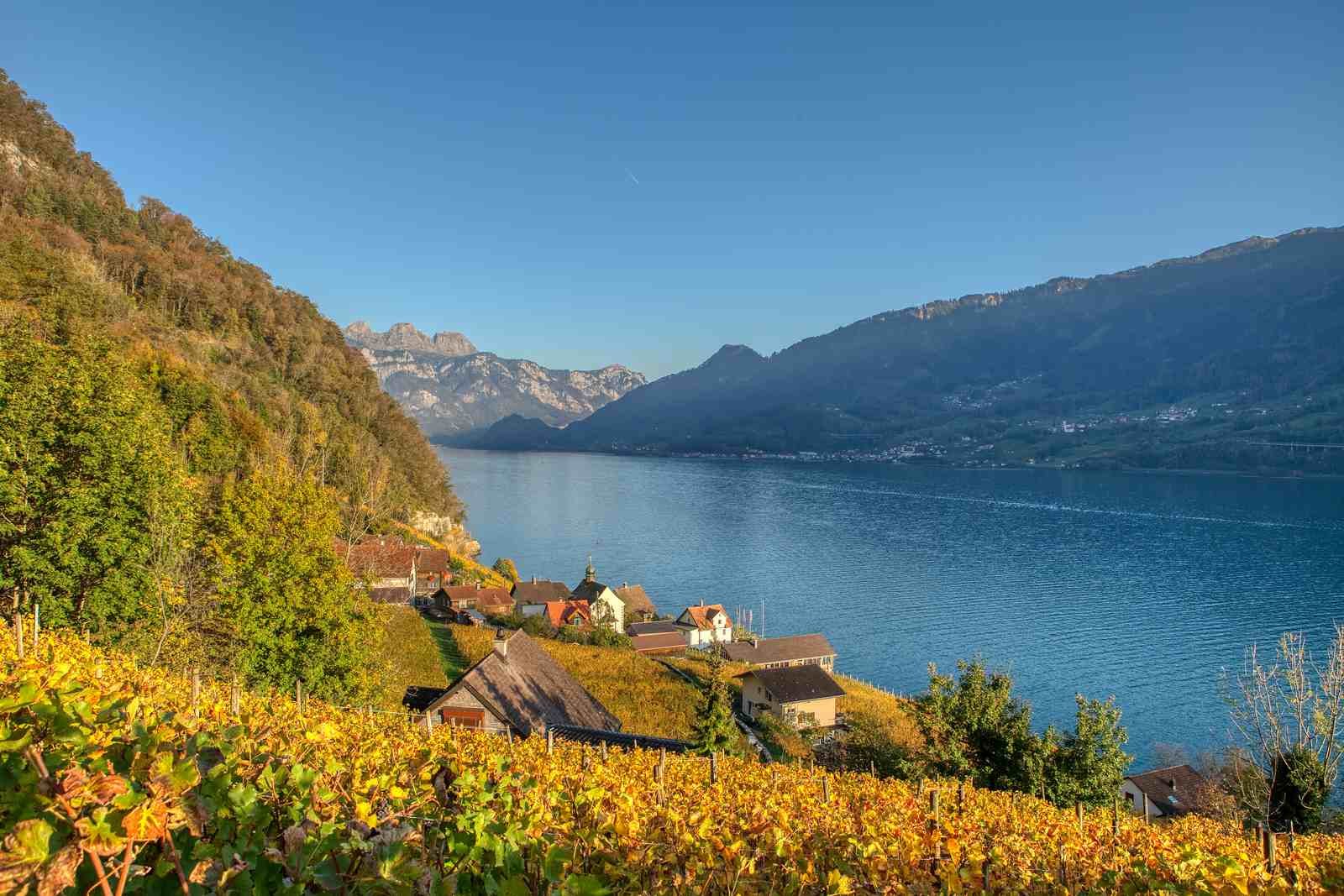
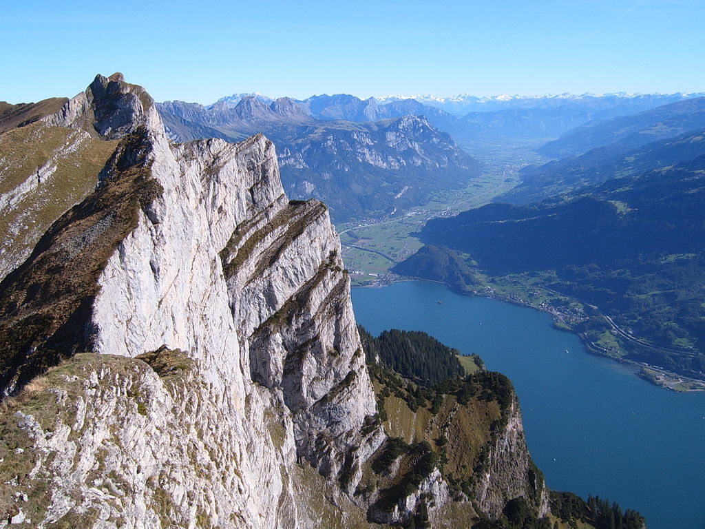
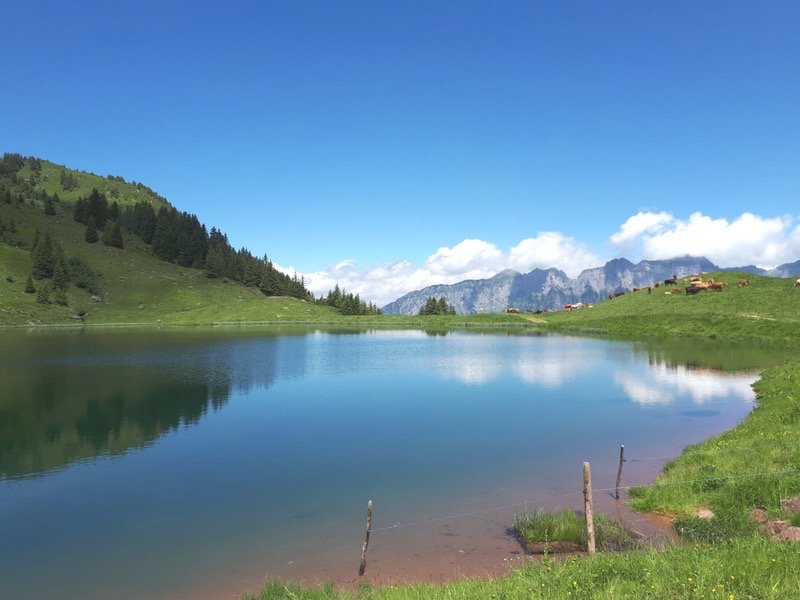
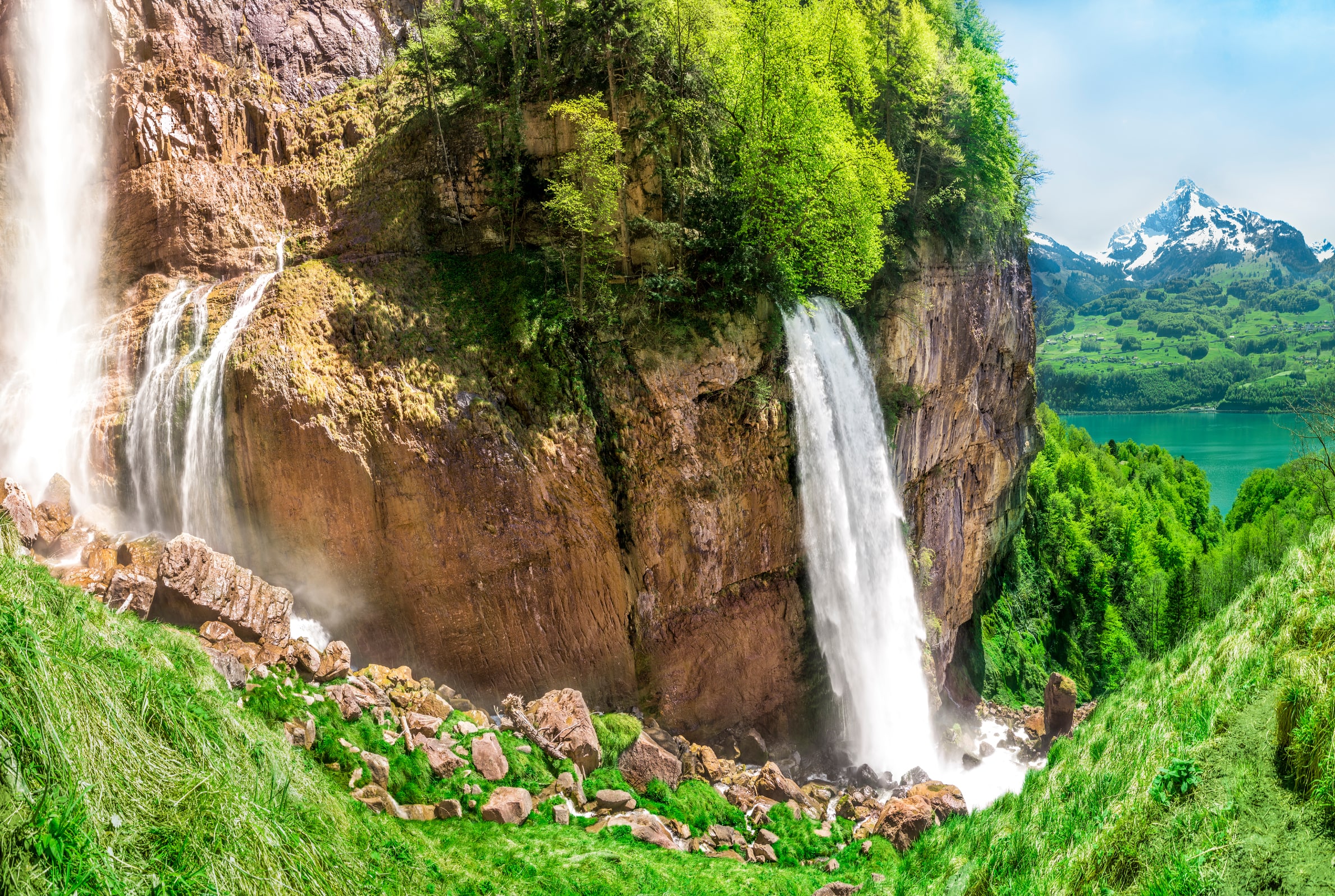
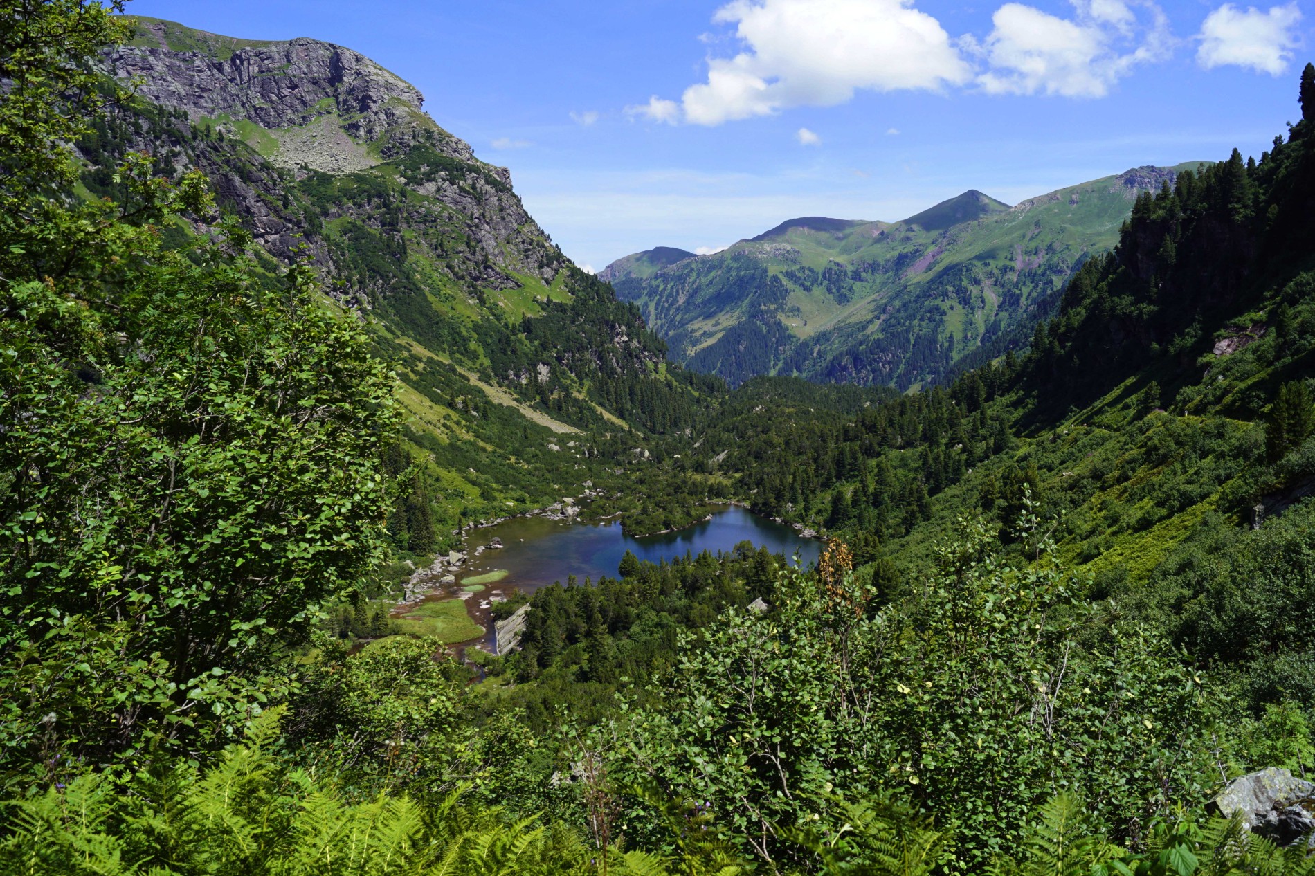
Hike around the three charming Murgsee lakes. The course makes a loop on a well marked path, between rivers, lakes, swamps, forests and waterfalls. In short, everything is there to have a great time in nature!

Already more than 200,000 users!
Uphill
893m
Highest point
1993m
Downhill
893m
Lowest point
1146m
Route type
Loop
Download the map on your smartphone to save battery and rest assured to always keep access to the route, even without signal.
Includes IGN France and Swisstopo.
I indicate whether dogs are allowed or prohibited on this trail
From May to October
0 ratings
Also enjoy:

Already more than 200,000 users!