Uphill
666m
Length
9km
Duration
4h30min
Elev gain
666m
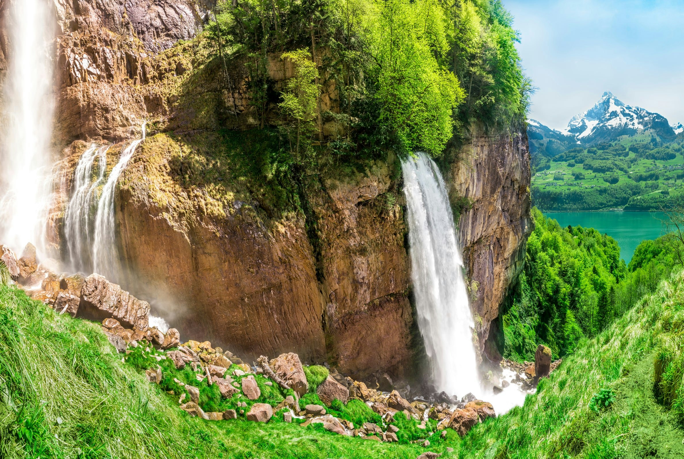
Here is a nice route that goes to discover the Seerenbach waterfalls. The trail passes by the Muslen reservoir, the Muslen waterfalls, then joins the shore of Lake Walenstadt. It then continues on a superb path until it reaches the magnificent Seerenbach waterfalls.

Already more than 200,000 users!
Uphill
666m
Highest point
919m
Downhill
666m
Lowest point
512m
Route type
Loop
Download the map on your smartphone to save battery and rest assured to always keep access to the route, even without signal.
Includes IGN France and Swisstopo.
I indicate whether dogs are allowed or prohibited on this trail
Can be difficult in Winter
1 rating
Also enjoy:

Already more than 200,000 users!


