Uphill
1107m
Length
15km
Duration
7h
Elev gain
1107m
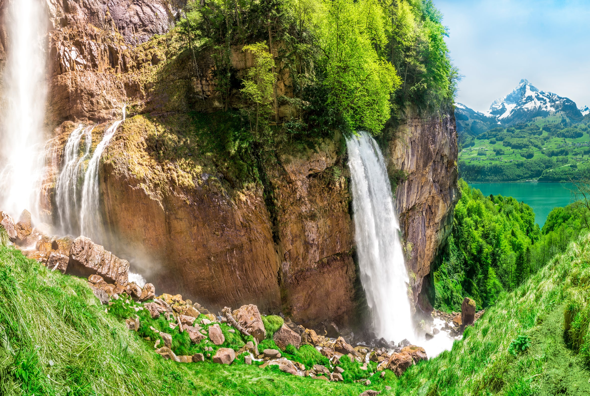
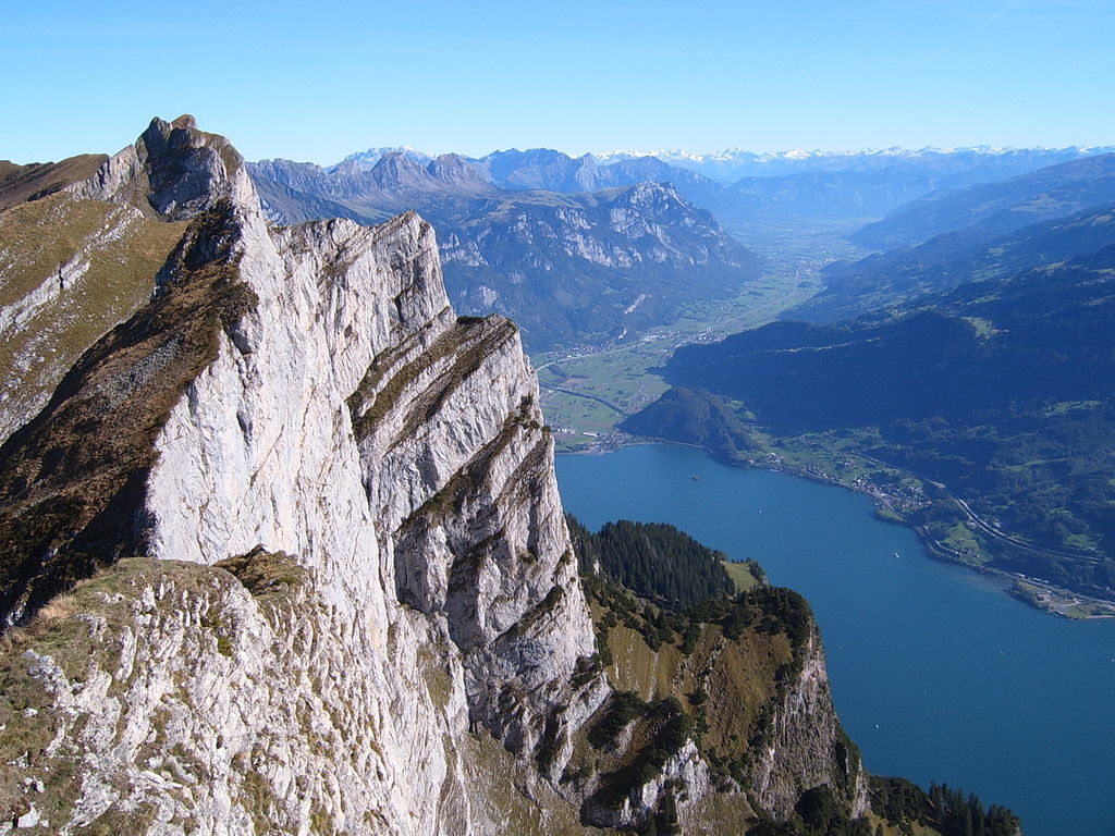
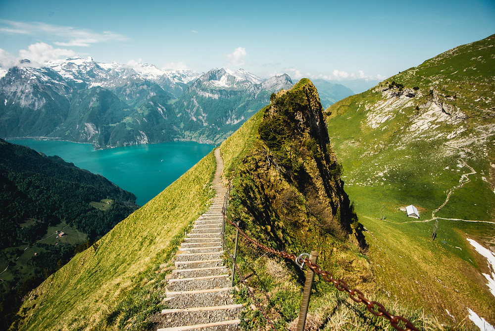
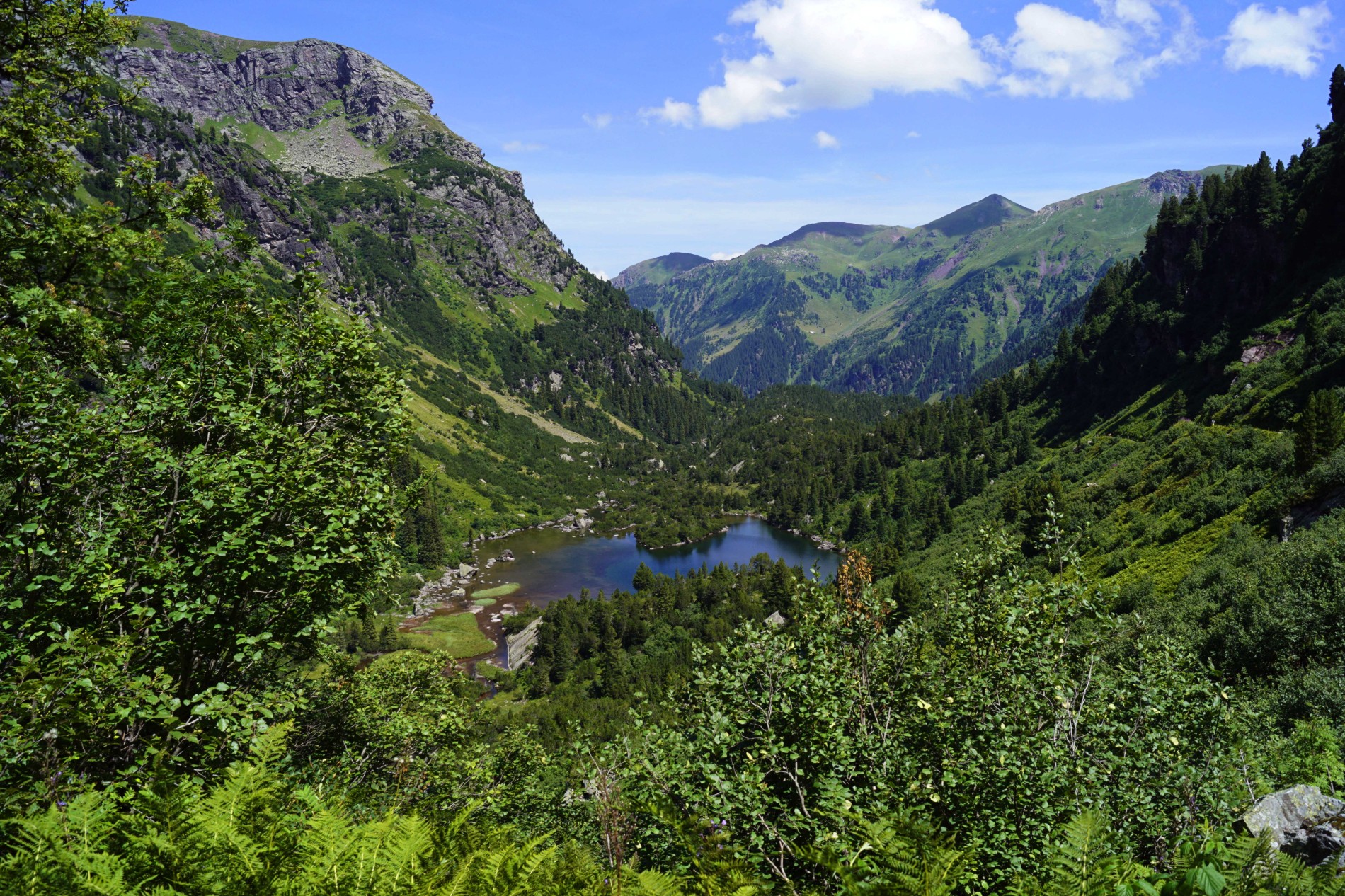
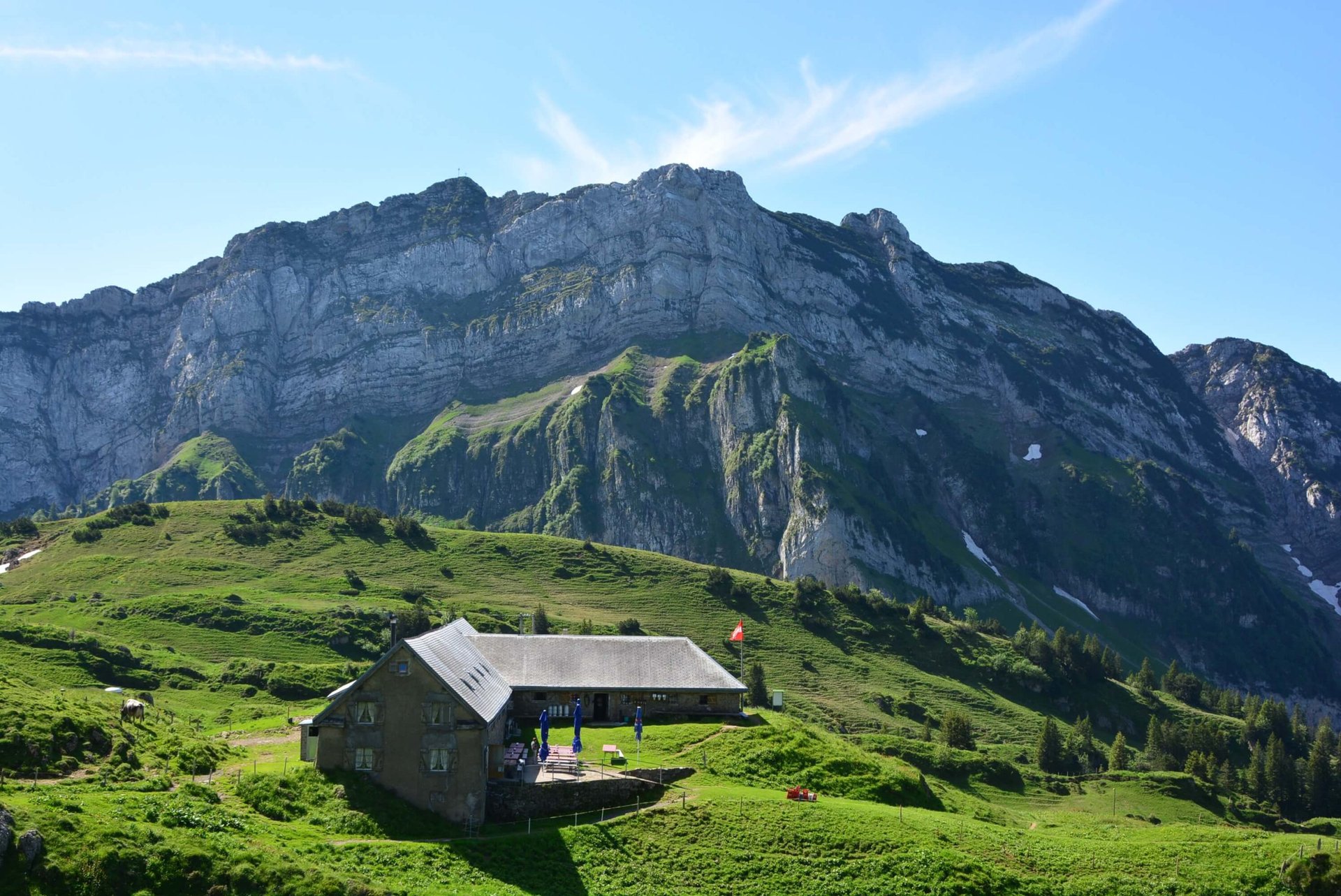
Departing from Amden, this route completes a superb loop in the heart of the Appenzell Alps. The route climbs up to Speer, located at 1,950 meters above sea level and easily recognizable by its spearhead shape. Then, the trail goes around the Mattstock and joins the end point of this walk, located near the Walau restaurant. It is then necessary to take the cable car to reach the starting point.

Already more than 200,000 users!
Uphill
1107m
Highest point
1931m
Downhill
727m
Lowest point
917m
Route type
One way
Download the map on your smartphone to save battery and rest assured to always keep access to the route, even without signal.
Includes IGN France and Swisstopo.
Parking at the start of the hike.
Bus stop nearby.
Mattstock cable car for the way back.
I indicate whether dogs are allowed or prohibited on this trail
From May to October
0 ratings
Also enjoy:

Already more than 200,000 users!