Uphill
893m

Length
10km
Duration
6h
Elev gain
893m
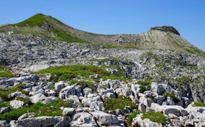
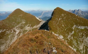
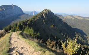
Ascent of the Fronalpstock from Chängel, via the Fronalp pass. This round trip follows a pretty path that leads to the summit of Fronalpstock, located at an altitude of 2,124 metres. Up there, the panoramic view of the Linth Valley is just fabulous.

Already more than 200,000 users!
Uphill
893m
Highest point
1957m
Downhill
893m
Lowest point
1144m
Route type
There and back
Download the map on your smartphone to save battery and rest assured to always keep access to the route, even without signal.
Includes IGN France and Swisstopo.
I indicate whether dogs are allowed or prohibited on this trail
From May to October
1 rating
Also enjoy:

Already more than 200,000 users!