Uphill
1323m
Length
14km
Duration
9h
Elev gain
1323m
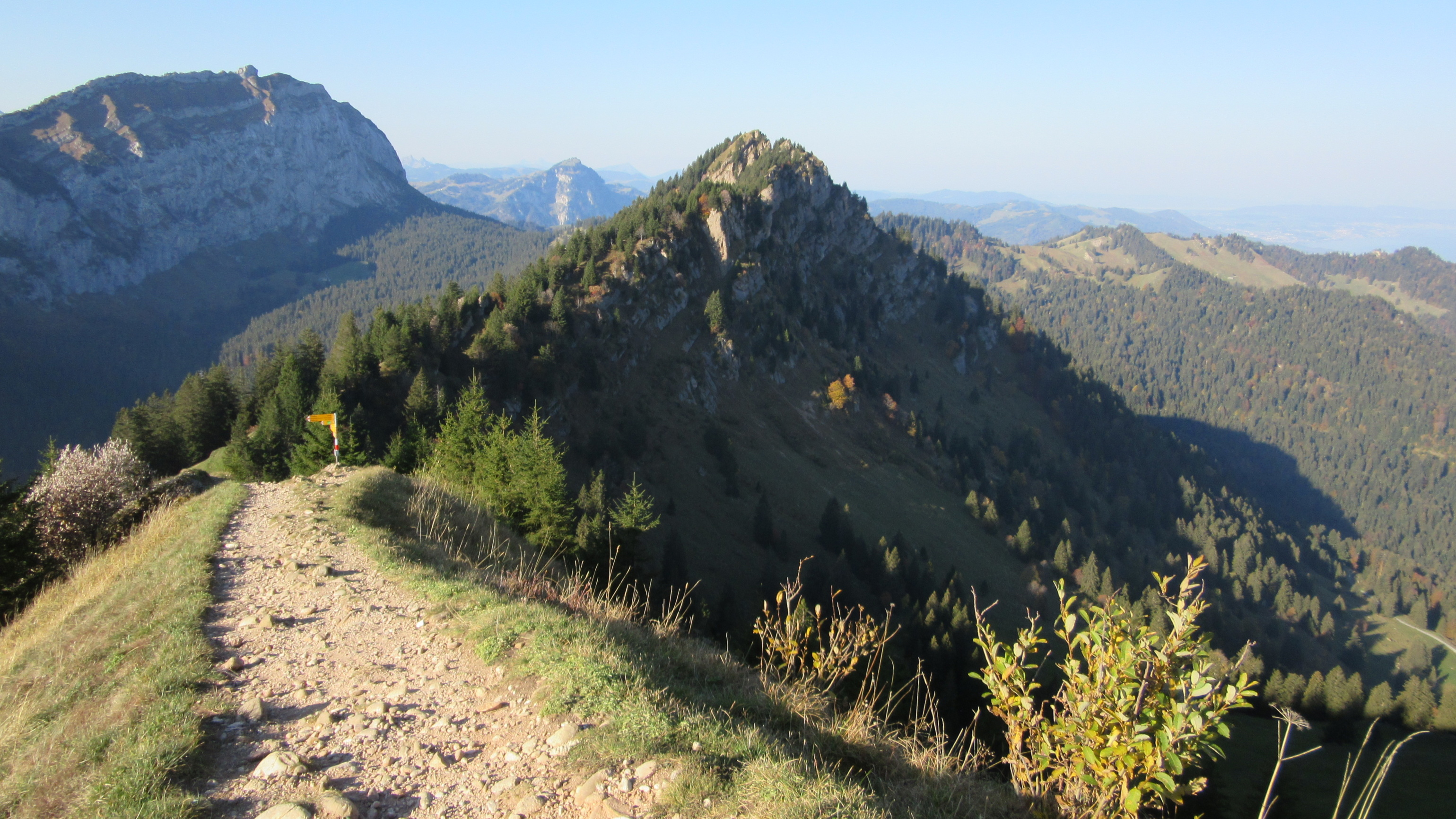
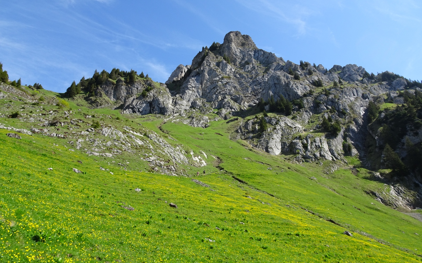
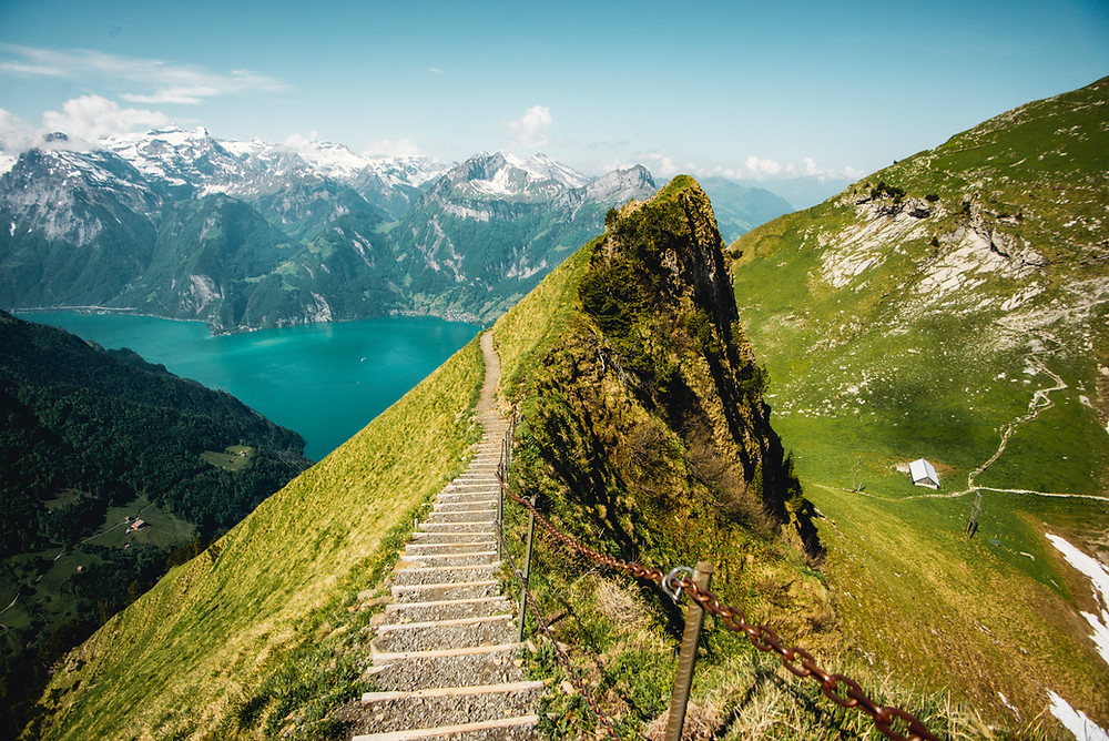
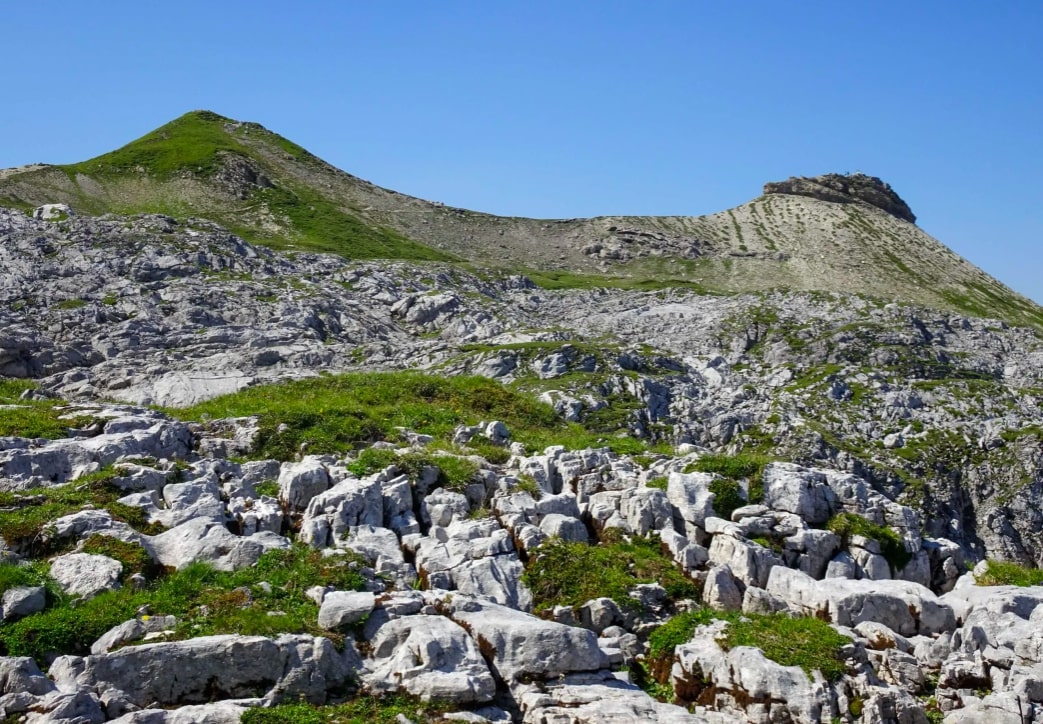
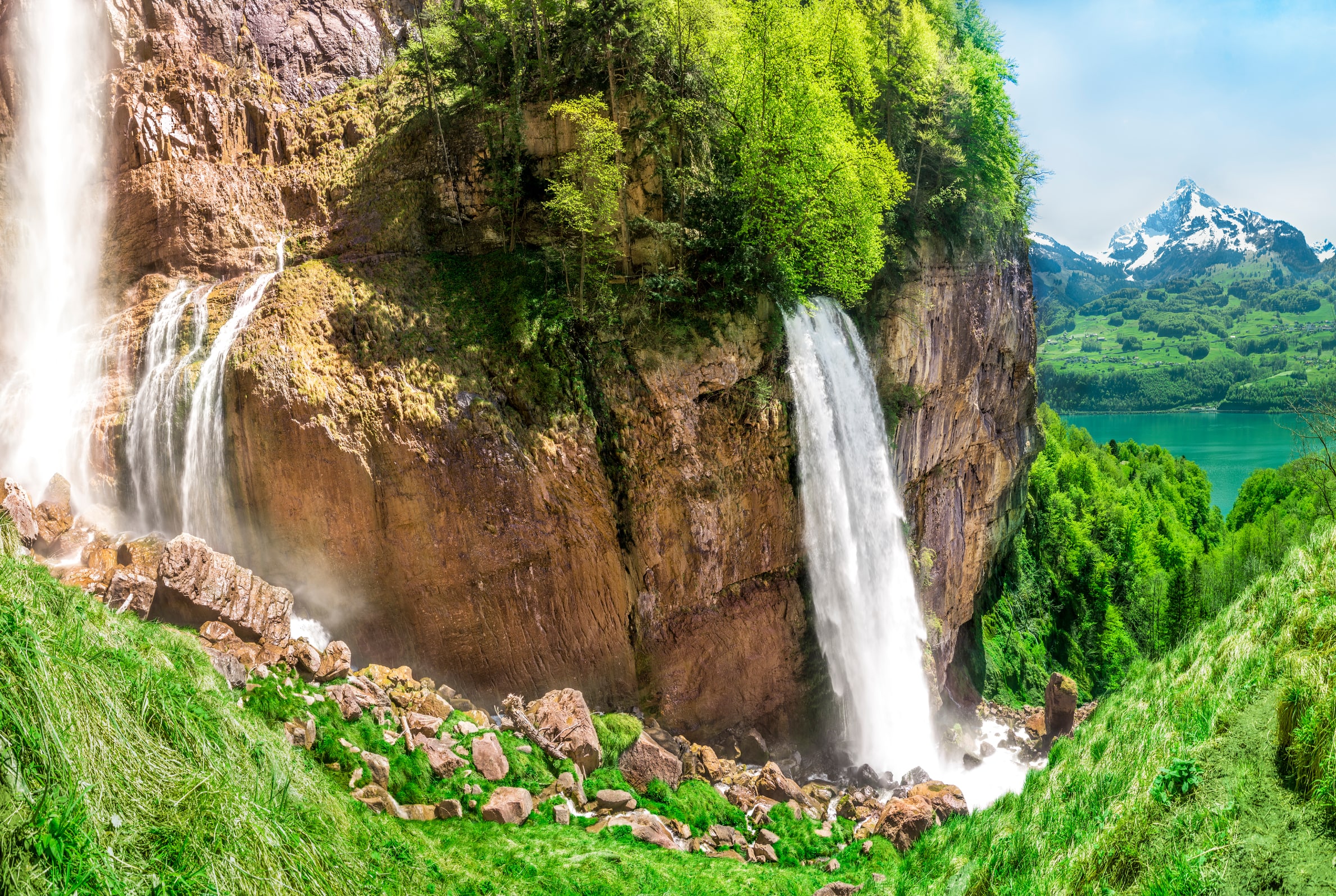
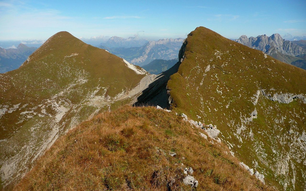
From the Obersee lake parking lot, this hike climbs to the summit of the Rautispitz, 2,283 meters above sea level. The route crosses a forest and then continues on a relatively clear path until you reach the summit. At the top, the view is spectacular. It is then necessary to go down again towards the peak of Wiggis then to return to the starting point.

Already more than 200,000 users!
Uphill
1323m
Highest point
2273m
Downhill
1323m
Lowest point
982m
Route type
Loop
Download the map on your smartphone to save battery and rest assured to always keep access to the route, even without signal.
Includes IGN France and Swisstopo.
I indicate whether dogs are allowed or prohibited on this trail
From May to September
0 ratings
Also enjoy:

Already more than 200,000 users!