Uphill
69m

Length
7km
Duration
2h
Elev gain
69m
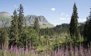
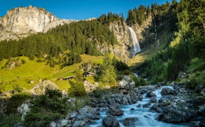
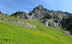
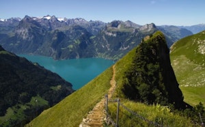
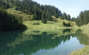
Departing from the upper station of the Glattalp cable car, this hike makes a superb loop around Lake Glattalp. Indeed, the route quickly gains height in order to reach the fabulous lake and then go around it in complete tranquility. In short, a magnificent walk that will be perfect for families.

Already more than 200,000 users!
Uphill
69m
Highest point
1884m
Downhill
69m
Lowest point
1851m
Route type
Loop
Download the map on your smartphone to save battery and rest assured to always keep access to the route, even without signal.
Includes IGN France and Swisstopo.
I indicate whether dogs are allowed or prohibited on this trail
From May to October
0 ratings
Also enjoy:

Already more than 200,000 users!