Uphill
317m
Length
4km
Duration
2h
Elev gain
317m
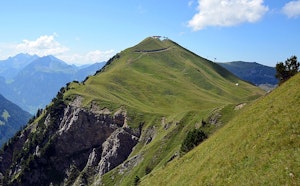
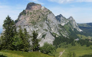
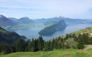
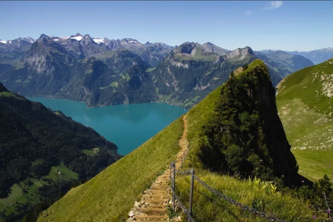
This is a hike that is both beautiful and accessible. Indeed, this route joins two pretty peaks: Klingenstock and Fronalpstock. The route essentially follows a path on a ridge, which offers a 360° view of Lake Lucerne and its surroundings.

Already more than 200,000 users!
Uphill
317m
Highest point
1916m
Downhill
317m
Lowest point
1731m
Route type
There and back
Download the map on your smartphone to save battery and rest assured to always keep access to the route, even without signal.
Includes IGN France and Swisstopo.
I indicate whether dogs are allowed or prohibited on this trail
From May to October
0 ratings
Also enjoy:

Already more than 200,000 users!