Uphill
934m
Length
7km
Duration
6h
Elev gain
934m
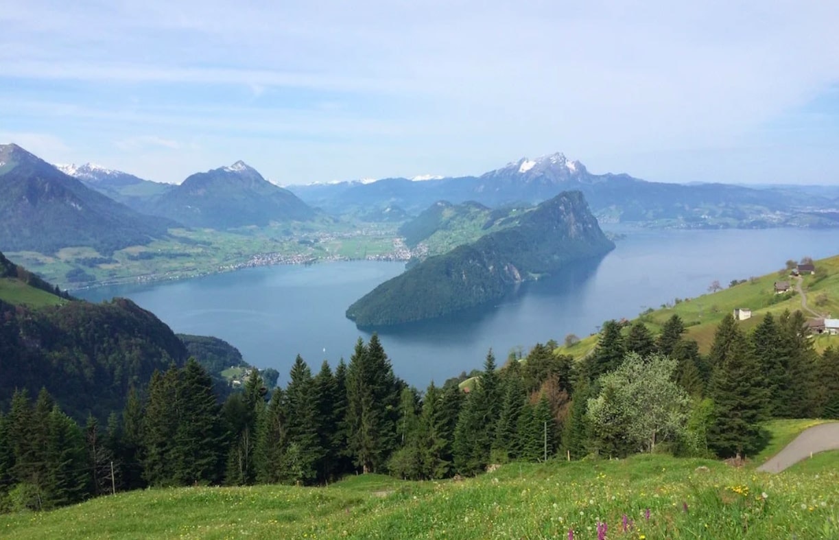
Starting from the valley station of the cable car connecting Brunnen to Urmiberg, this hike makes a beautiful loop in the heart of the Mattenban valley. The route climbs to Gotterli, located at 1,396 meters above sea level, then continues in the direction of Urmiberg. From here, the trail descends and offers a bird's eye view of Lake Lucerne.

Already more than 200,000 users!
Uphill
934m
Highest point
1381m
Downhill
934m
Lowest point
438m
Route type
Loop
Download the map on your smartphone to save battery and rest assured to always keep access to the route, even without signal.
Includes IGN France and Swisstopo.
I indicate whether dogs are allowed or prohibited on this trail
Can be difficult in Winter
0 ratings
Also enjoy:

Already more than 200,000 users!


