Uphill
477m
Length
9km
Duration
3h30min
Elev gain
477m
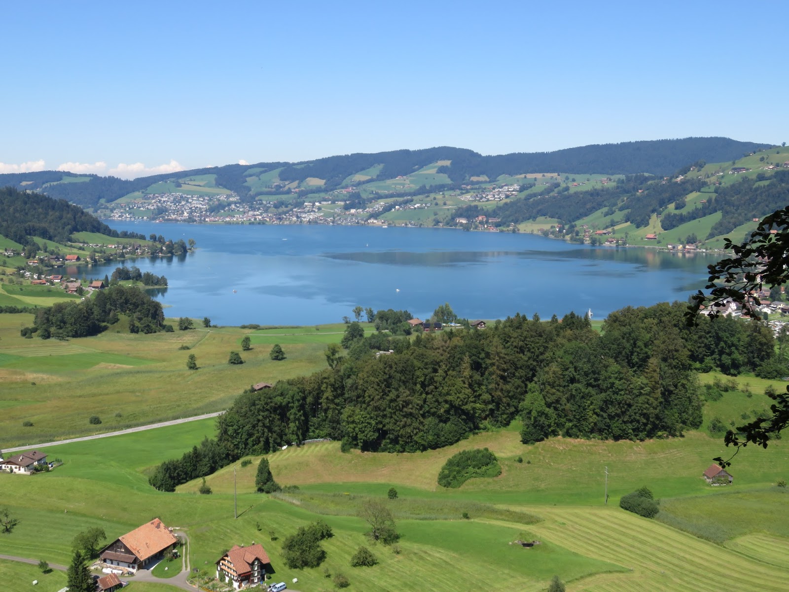
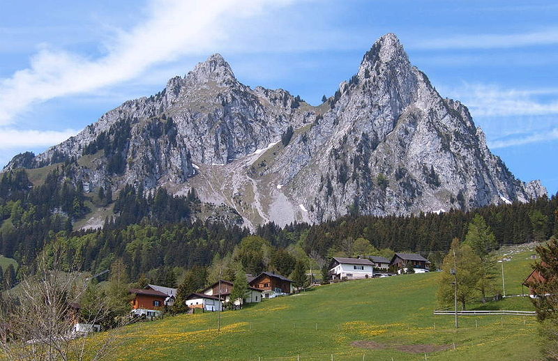
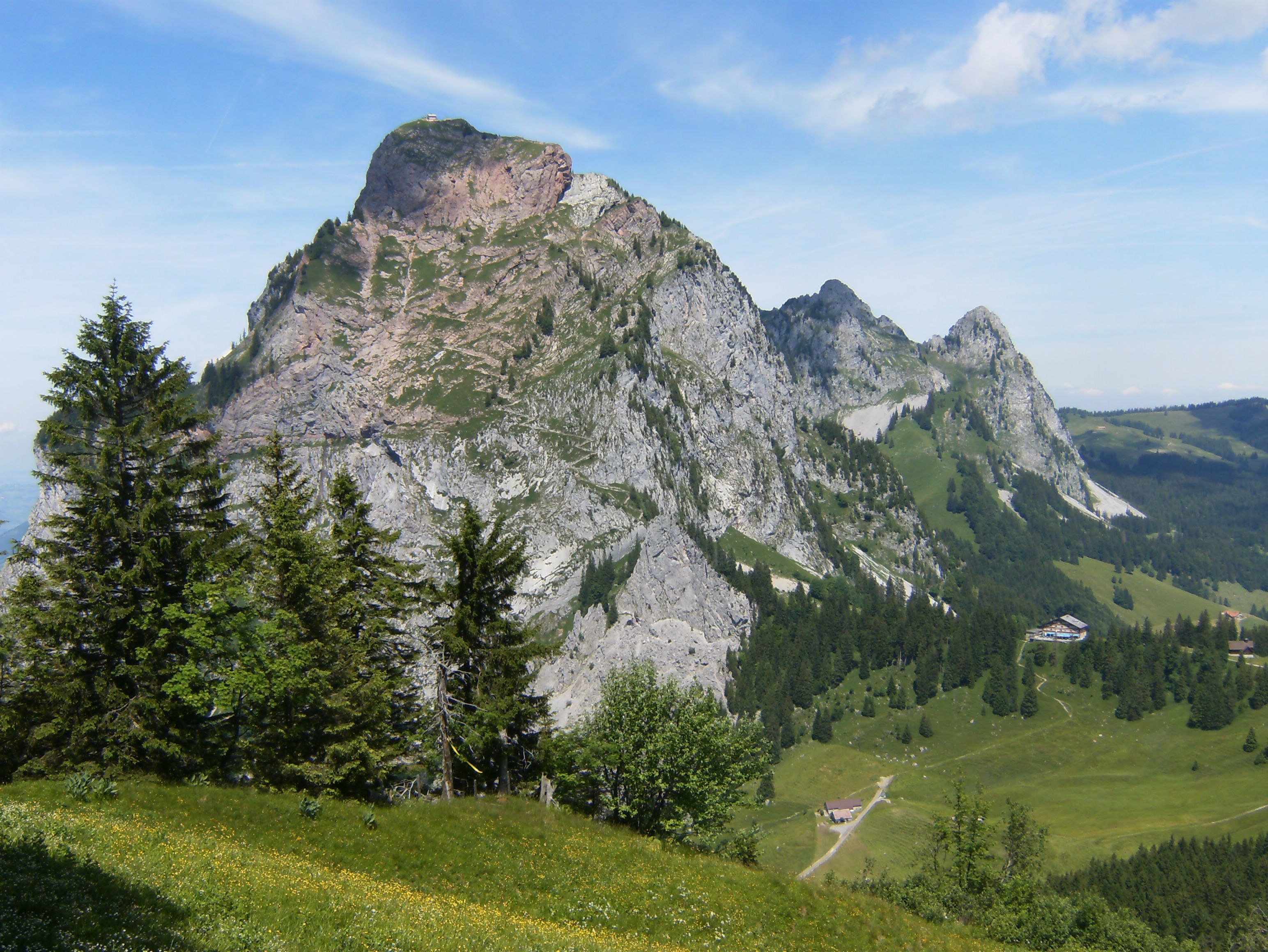
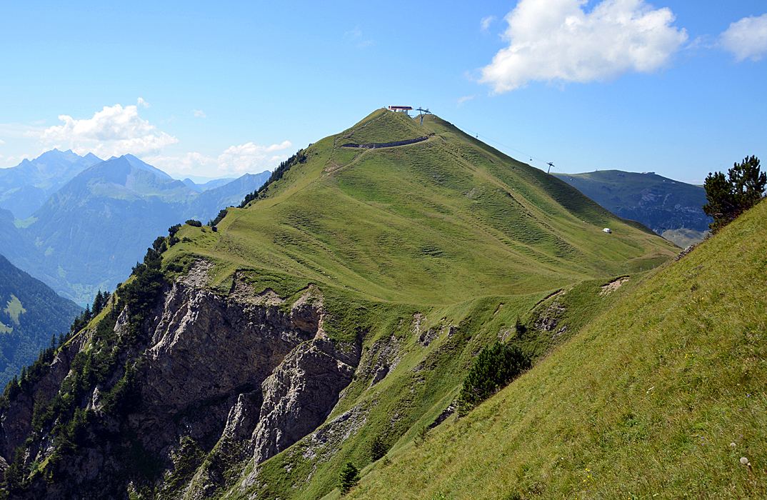
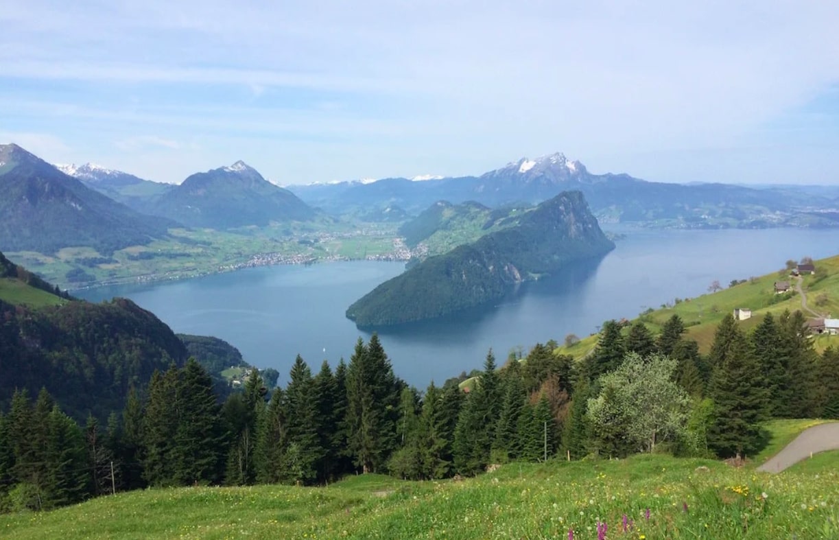
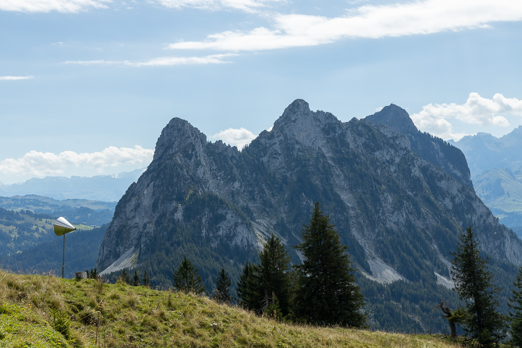
This route makes a loop between meadows and undergrowth, passing through the peaks of Hochstuckli and Engelstock, before returning to the starting point.

Already more than 200,000 users!
Uphill
477m
Highest point
1513m
Downhill
477m
Lowest point
1140m
Route type
Loop
Download the map on your smartphone to save battery and rest assured to always keep access to the route, even without signal.
Includes IGN France and Swisstopo.
I indicate whether dogs are allowed or prohibited on this trail
Can be difficult in Winter
0 ratings
Also enjoy:

Already more than 200,000 users!