Uphill
509m
Length
11km
Duration
4h
Elev gain
509m
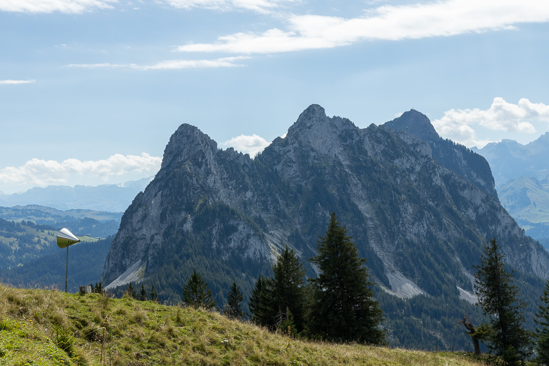
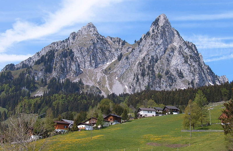
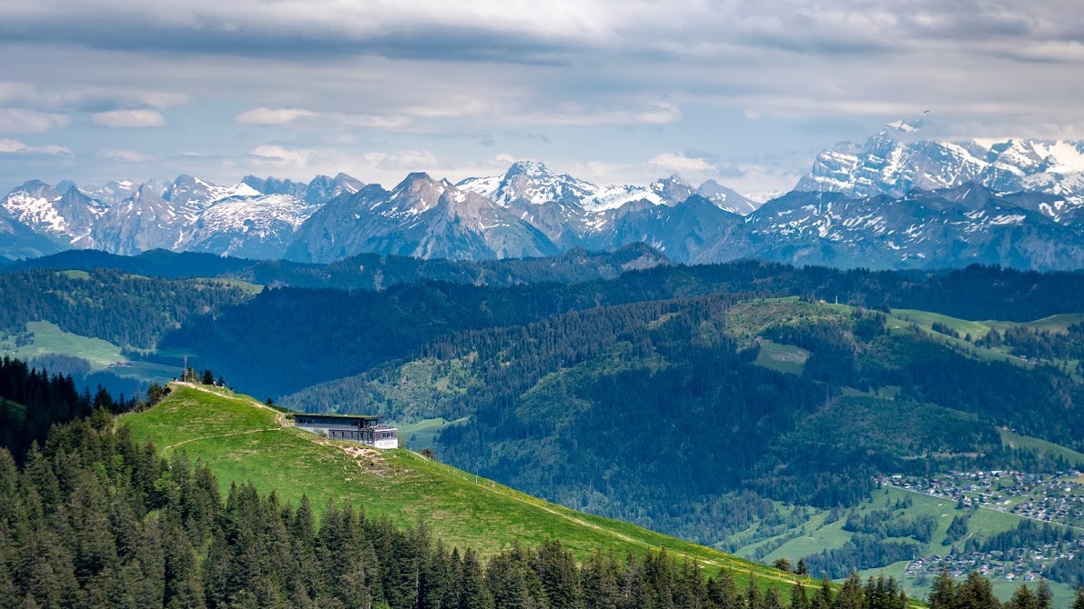
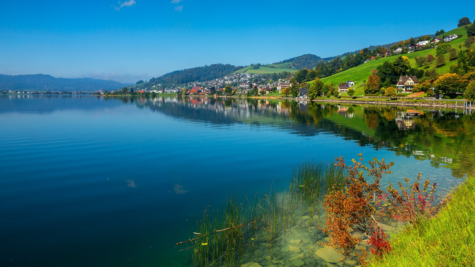
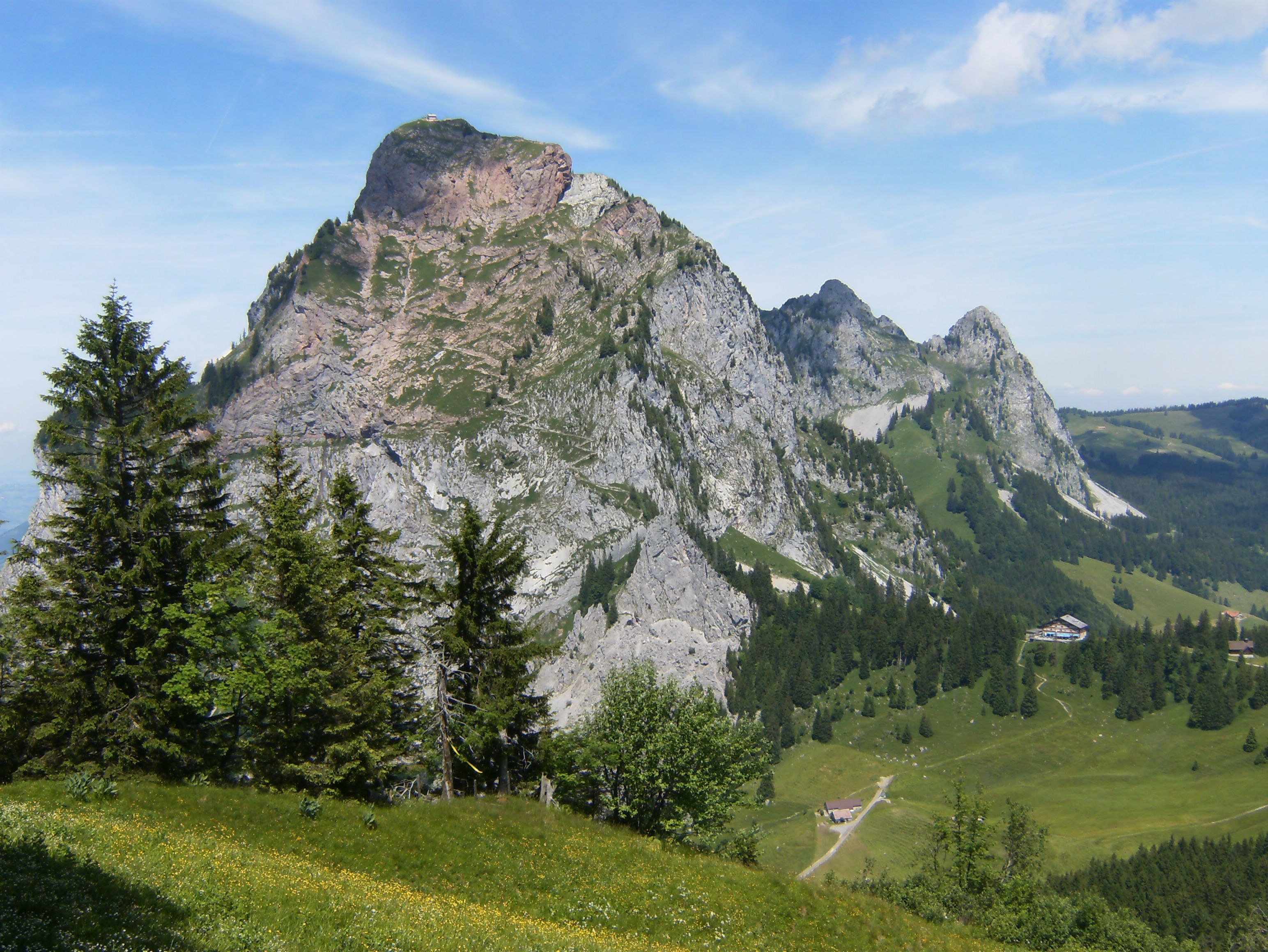
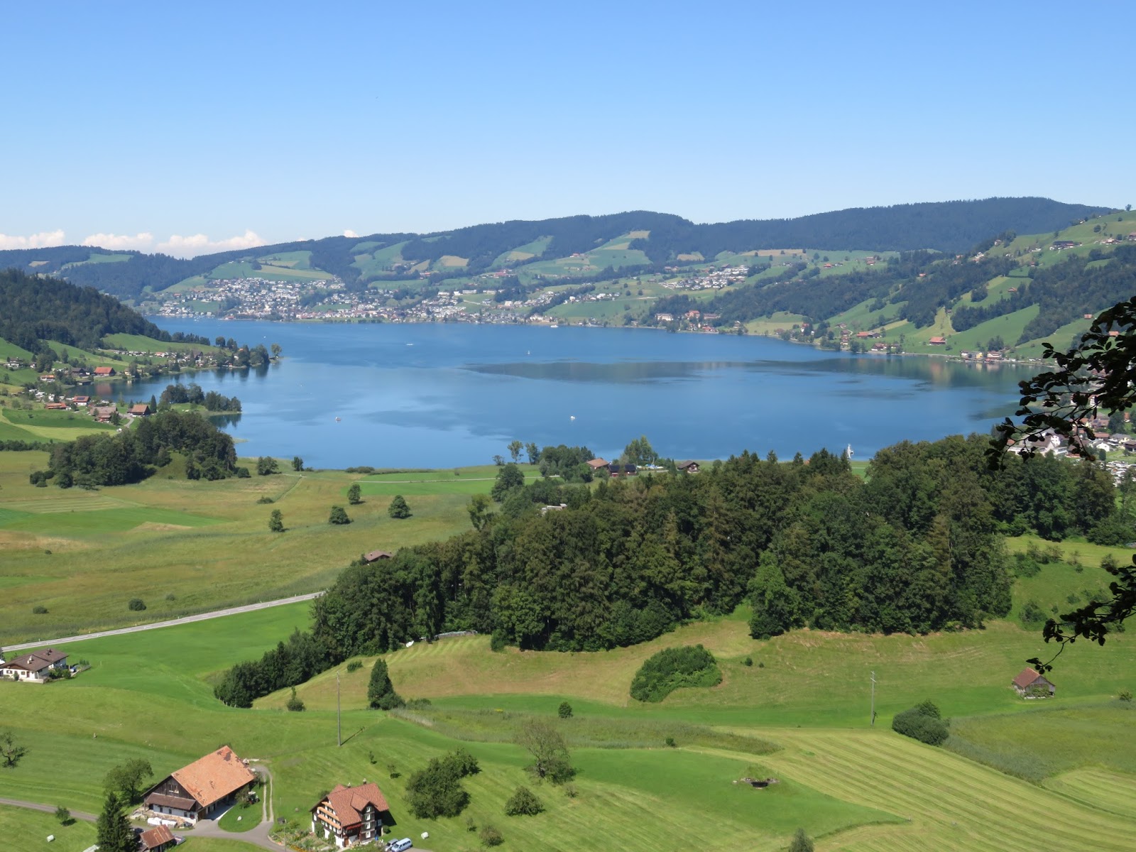
Here is a nice hike in the heart of the Schwyz Alps. The route makes a loop, passes by the summit Morgartenberg, located at 1,244 meters above sea level, and offers pretty views of Lake Aegeri.

Already more than 200,000 users!
Uphill
509m
Highest point
1241m
Downhill
509m
Lowest point
761m
Route type
Loop
Download the map on your smartphone to save battery and rest assured to always keep access to the route, even without signal.
Includes IGN France and Swisstopo.
I indicate whether dogs are allowed or prohibited on this trail
Can be difficult in Winter
1 rating
Also enjoy:

Already more than 200,000 users!