Uphill
323m
Length
7km
Duration
2h30min
Elev gain
323m
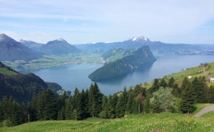
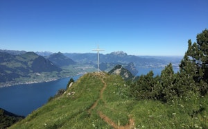
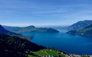
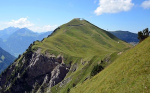
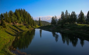
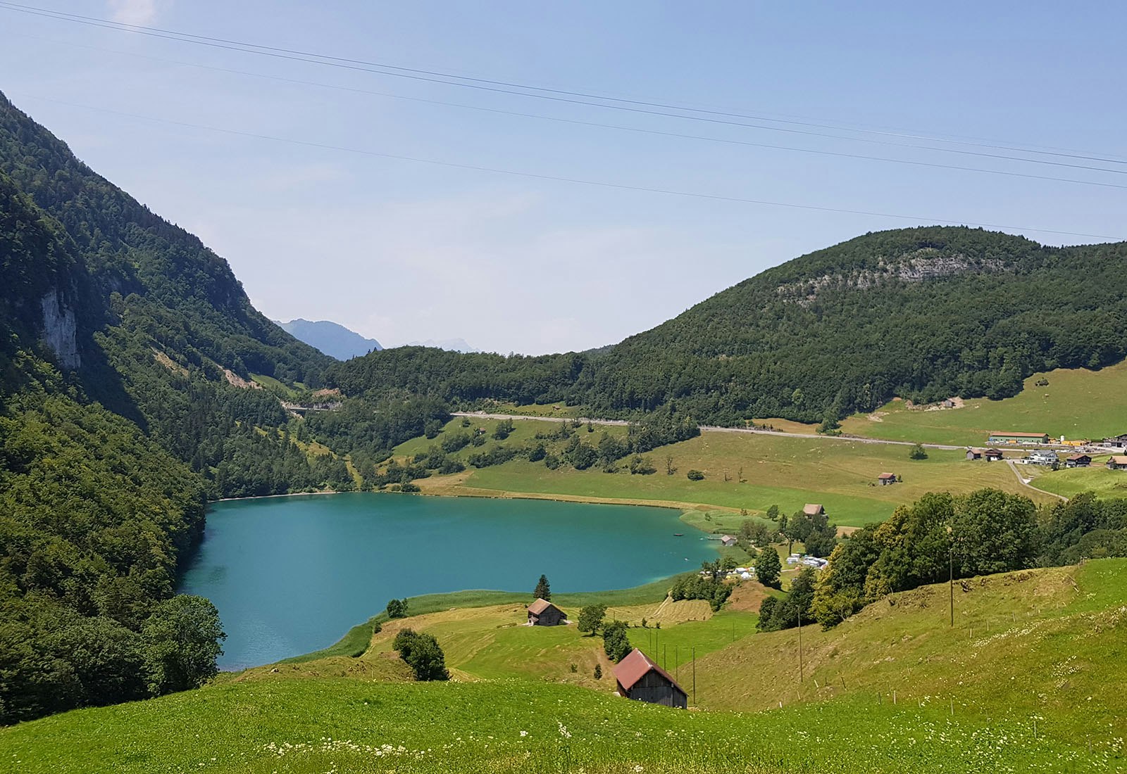
Starting from Seelisberg, this hike makes a nice loop on the heights of the town. Between meadows and forests, this route follows varied paths and offers lovely views of Lake Lucerne.

Already more than 200,000 users!
Uphill
323m
Highest point
1084m
Downhill
323m
Lowest point
796m
Route type
Loop
Download the map on your smartphone to save battery and rest assured to always keep access to the route, even without signal.
Includes IGN France and Swisstopo.
I indicate whether dogs are allowed or prohibited on this trail
Can be difficult in Winter
0 ratings
Also enjoy:

Already more than 200,000 users!