Uphill
255m
Length
6km
Duration
2h
Elev gain
255m
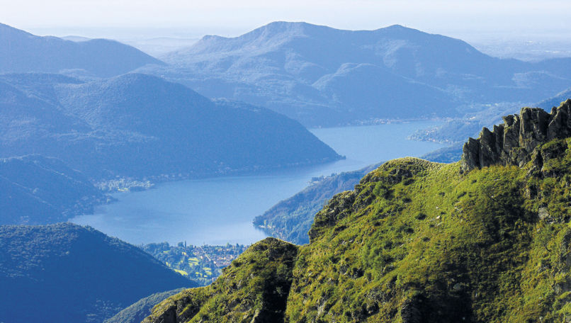
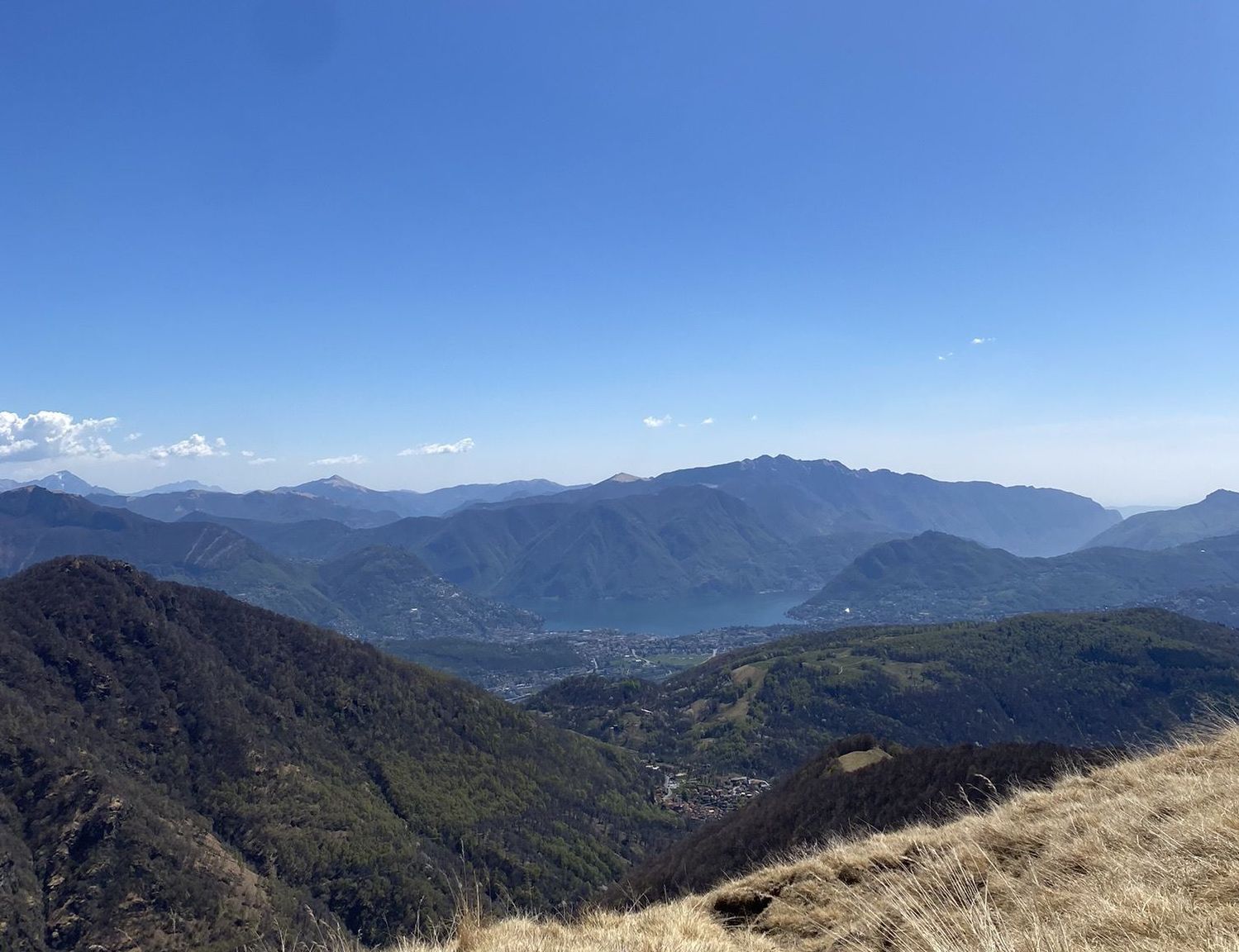
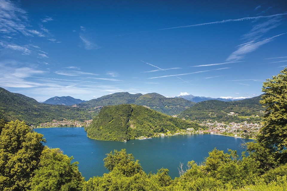
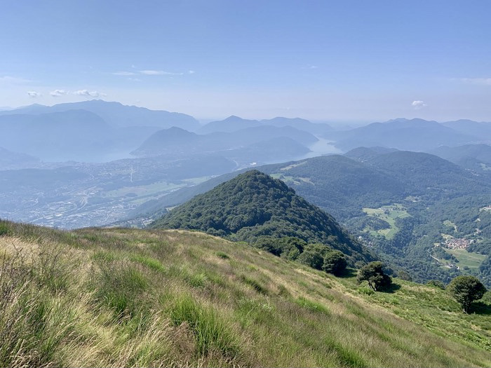
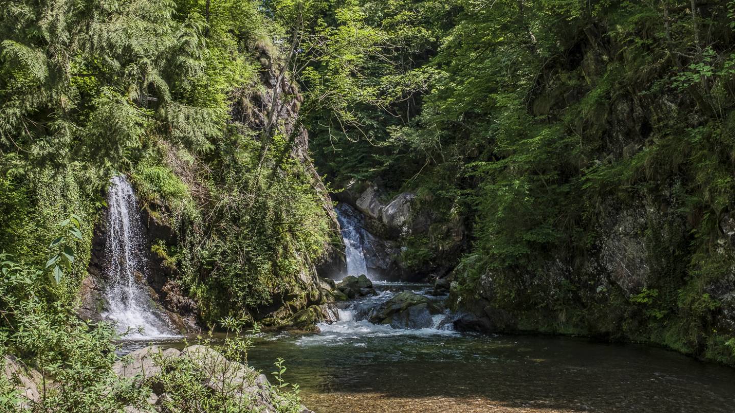
Departing from Novaggio, this route loops around Monte Pellegrino. The path passes by many points of interest: the chapel of Movogno, the Vinera mill, the castle of Miglieglia, the bridge of Magliasina and many more. In short, a great walk that can be paused for a swim in the Magliasina.

Already more than 200,000 users!
Uphill
255m
Highest point
662m
Downhill
255m
Lowest point
535m
Route type
Loop
Download the map on your smartphone to save battery and rest assured to always keep access to the route, even without signal.
Includes IGN France and Swisstopo.
I indicate whether dogs are allowed or prohibited on this trail
All year
1 rating
Also enjoy:

Already more than 200,000 users!