Uphill
1164m
Length
18km
Duration
8h30min
Elev gain
1164m
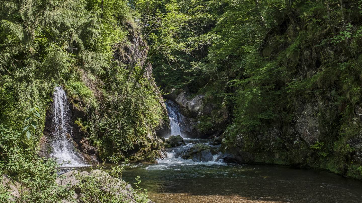
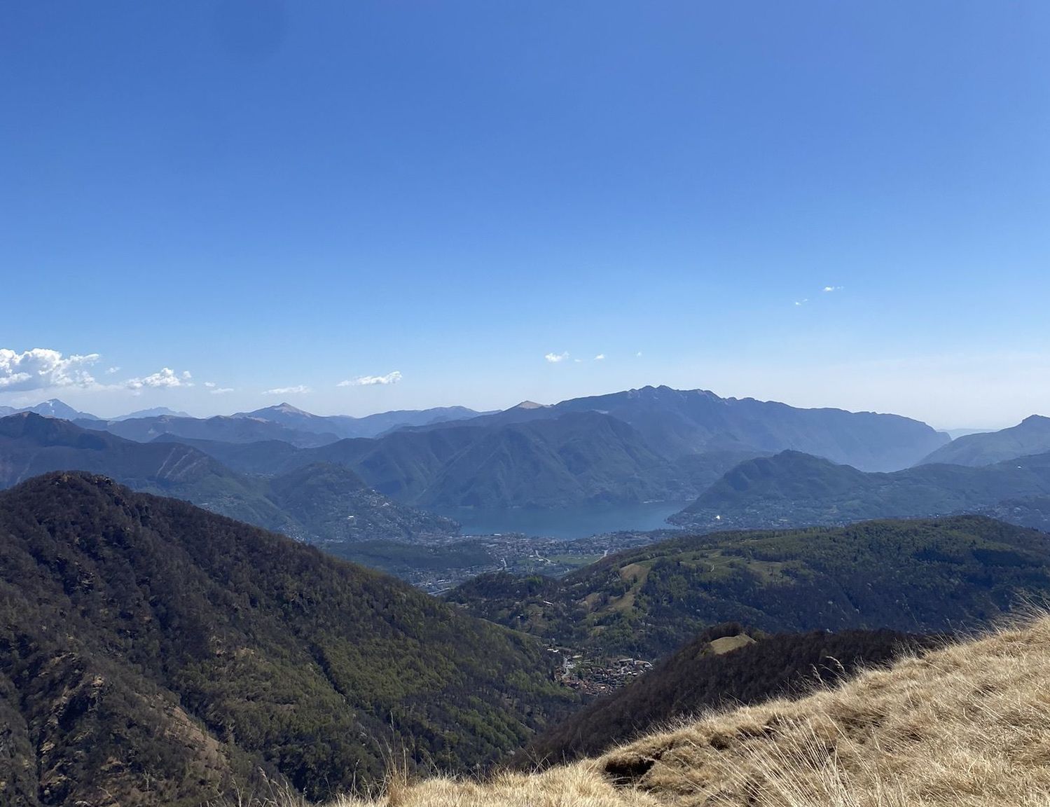
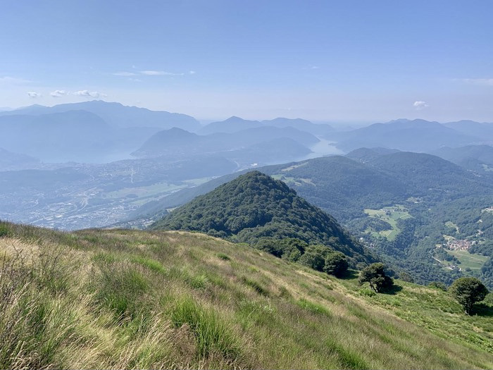
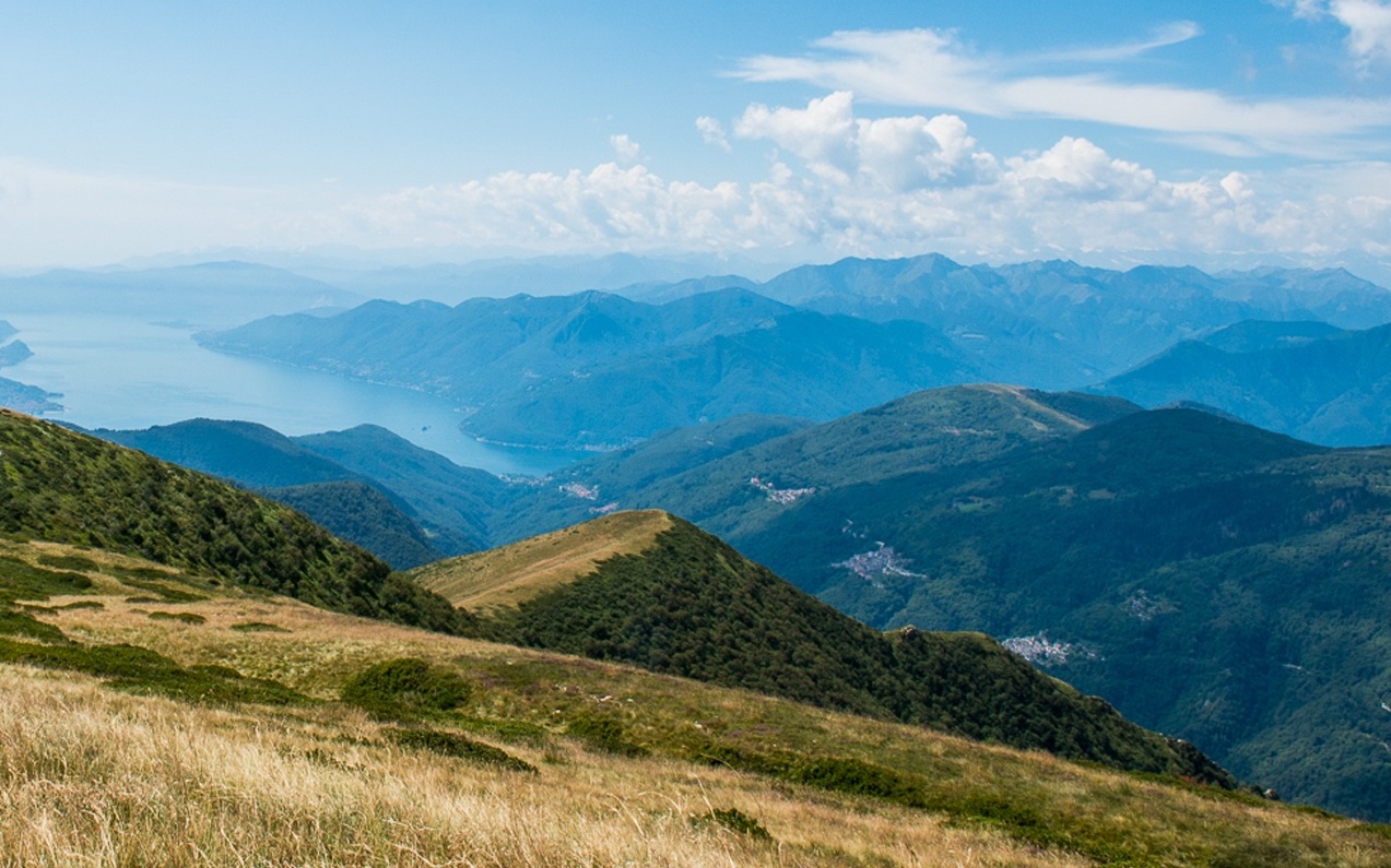
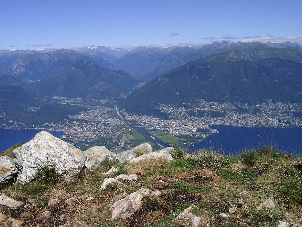
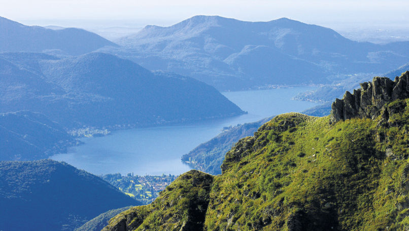
Breathtaking hike on several alpine peaks, on the Italian-Swiss border. Starting from Monte Lema, this route essentially follows a ridge, passes through Monte Magno, Monte Pola before reaching Monte Tamaro. The views are fabulous throughout the hike.

Already more than 200,000 users!
Uphill
1164m
Highest point
1930m
Downhill
1164m
Lowest point
1473m
Route type
There and back
Download the map on your smartphone to save battery and rest assured to always keep access to the route, even without signal.
Includes IGN France and Swisstopo.
I indicate whether dogs are allowed or prohibited on this trail
From May to October
0 ratings
Also enjoy:

Already more than 200,000 users!