Uphill
272m
Length
10km
Duration
3h30min
Elev gain
272m
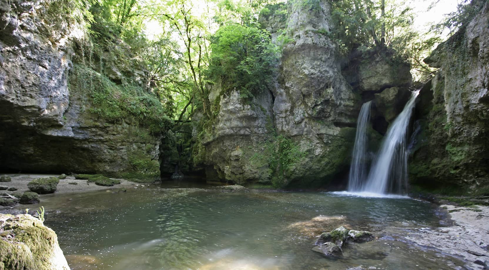
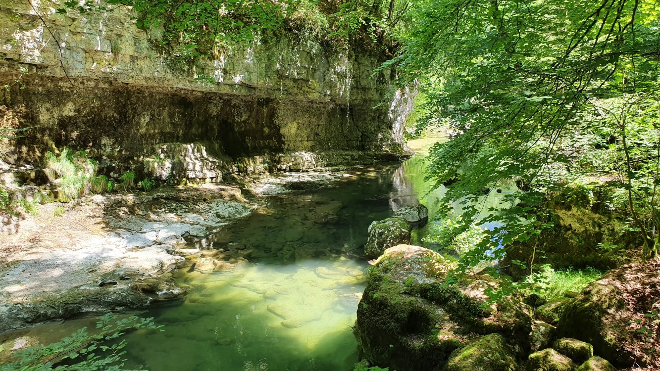
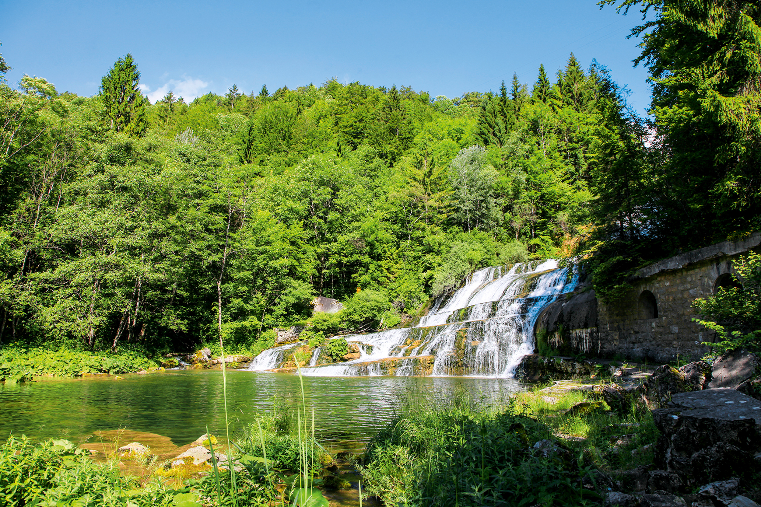
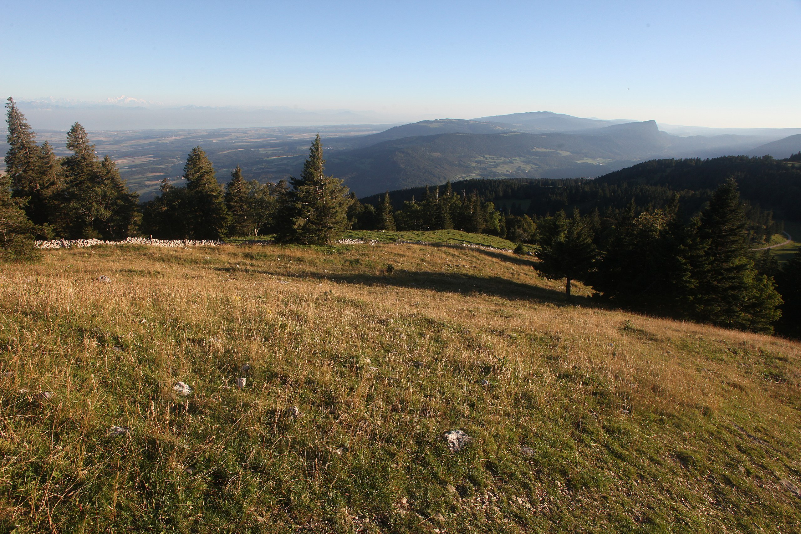
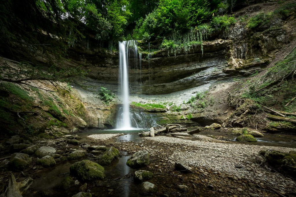
Departing from the Buis de Ferreyres car park, this hike forms a pretty loop in the heart of the Engens valley. The path runs along the stream in the Engens valley then the Nozon, until it comes out on the charming Dard waterfall. Then, you have to descend by the Grand Chanay path then along the Nozon until you return to the starting point.

Already more than 200,000 users!
Uphill
272m
Highest point
646m
Downhill
272m
Lowest point
515m
Route type
Loop
Download the map on your smartphone to save battery and rest assured to always keep access to the route, even without signal.
Includes IGN France and Swisstopo.
1 rating
Also enjoy:

Already more than 200,000 users!