Uphill
579m
Length
12km
Duration
4h30min
Elev gain
579m
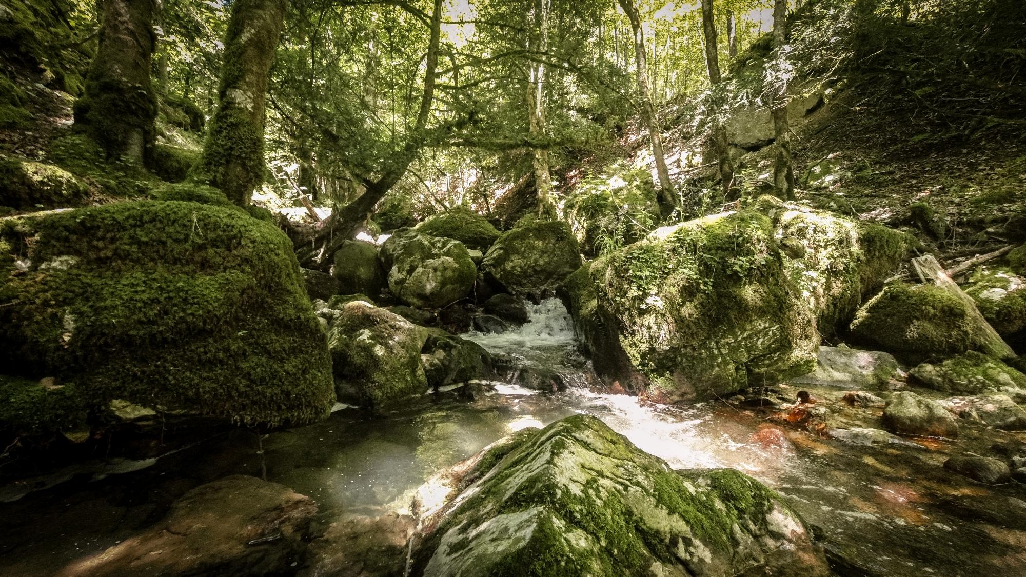
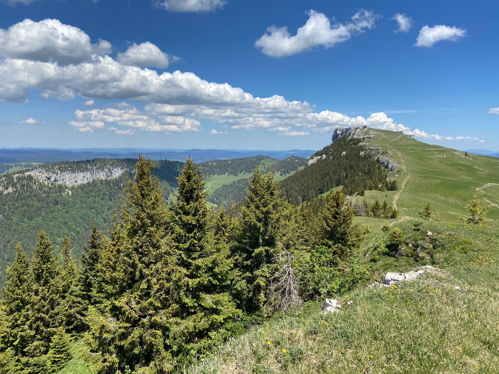
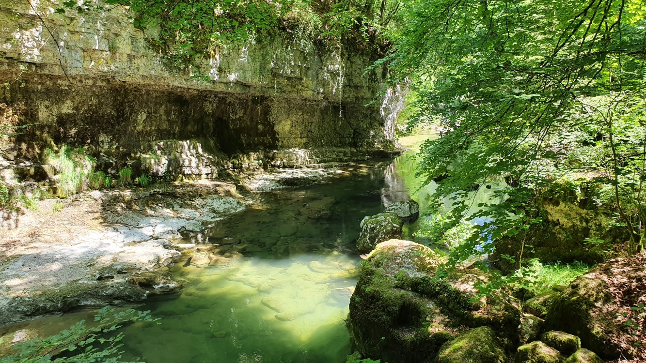
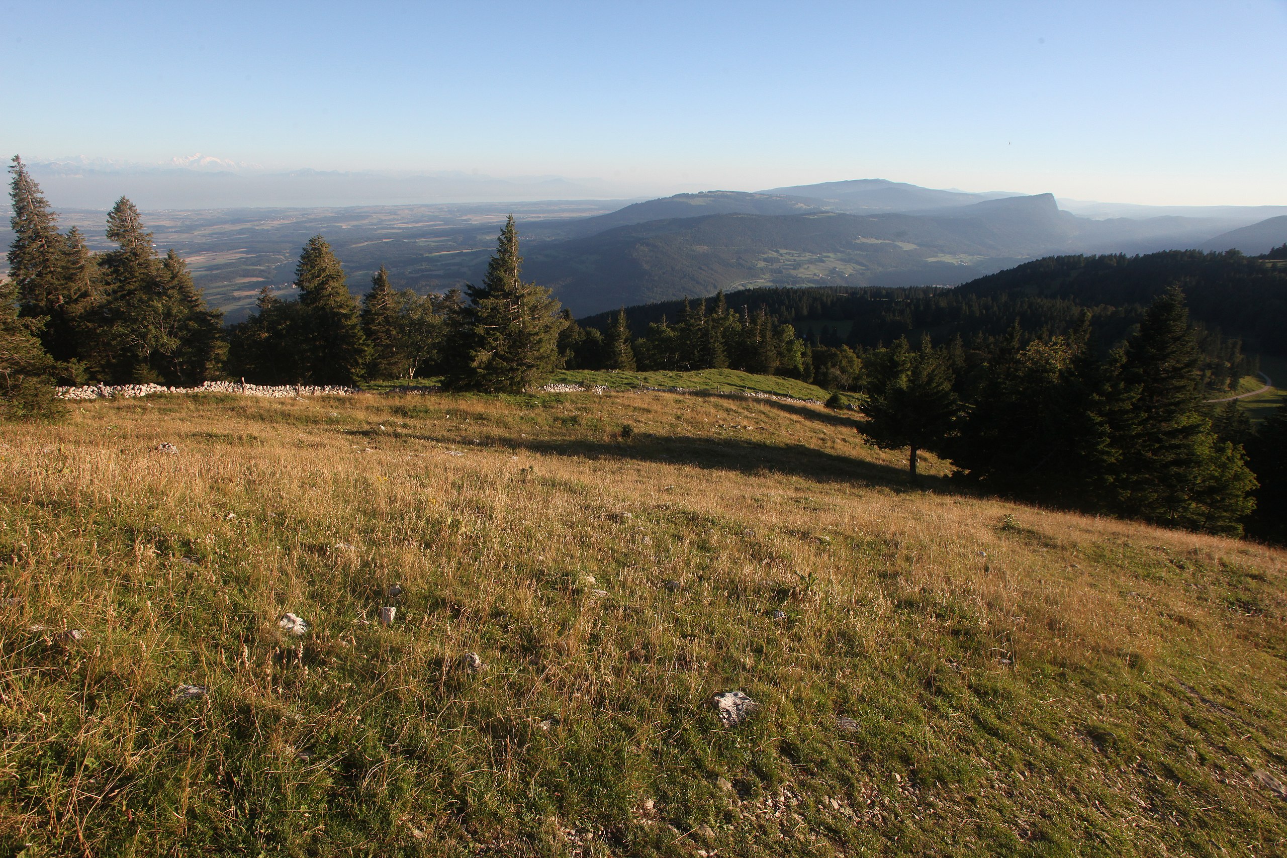
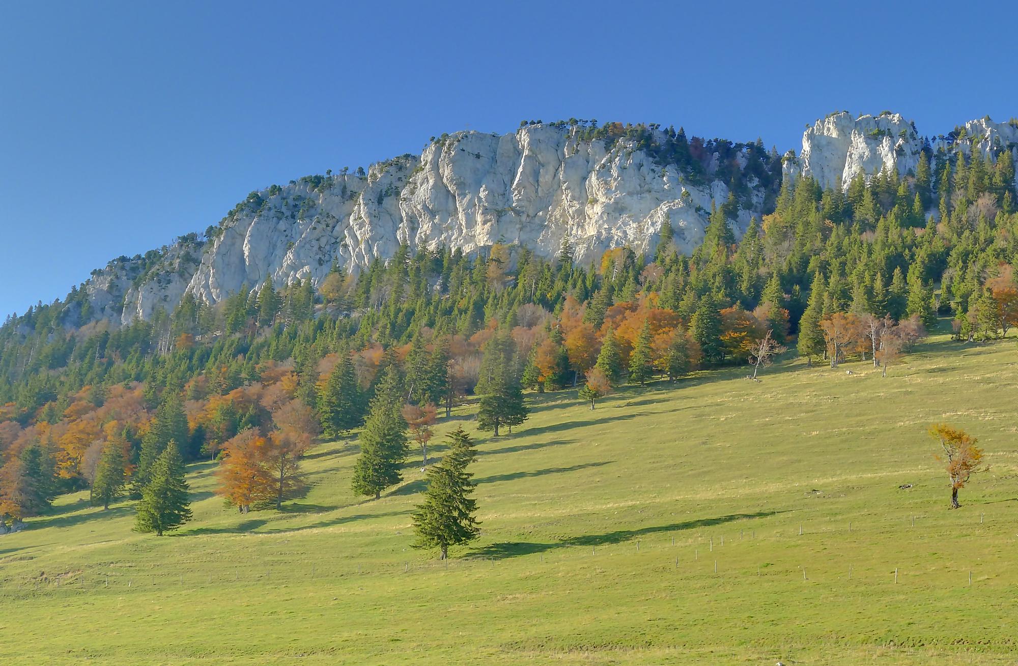
Here is a superb hike that sets off to discover the Aiguilles de Baulmes, a summit located at an altitude of 1,559 metres. The route follows pretty hilly paths which on several occasions offer splendid views of the surroundings.

Already more than 200,000 users!
Uphill
579m
Highest point
1547m
Downhill
579m
Lowest point
1029m
Route type
Loop
Download the map on your smartphone to save battery and rest assured to always keep access to the route, even without signal.
Includes IGN France and Swisstopo.
I indicate whether dogs are allowed or prohibited on this trail
Can be difficult in Winter
2 ratings
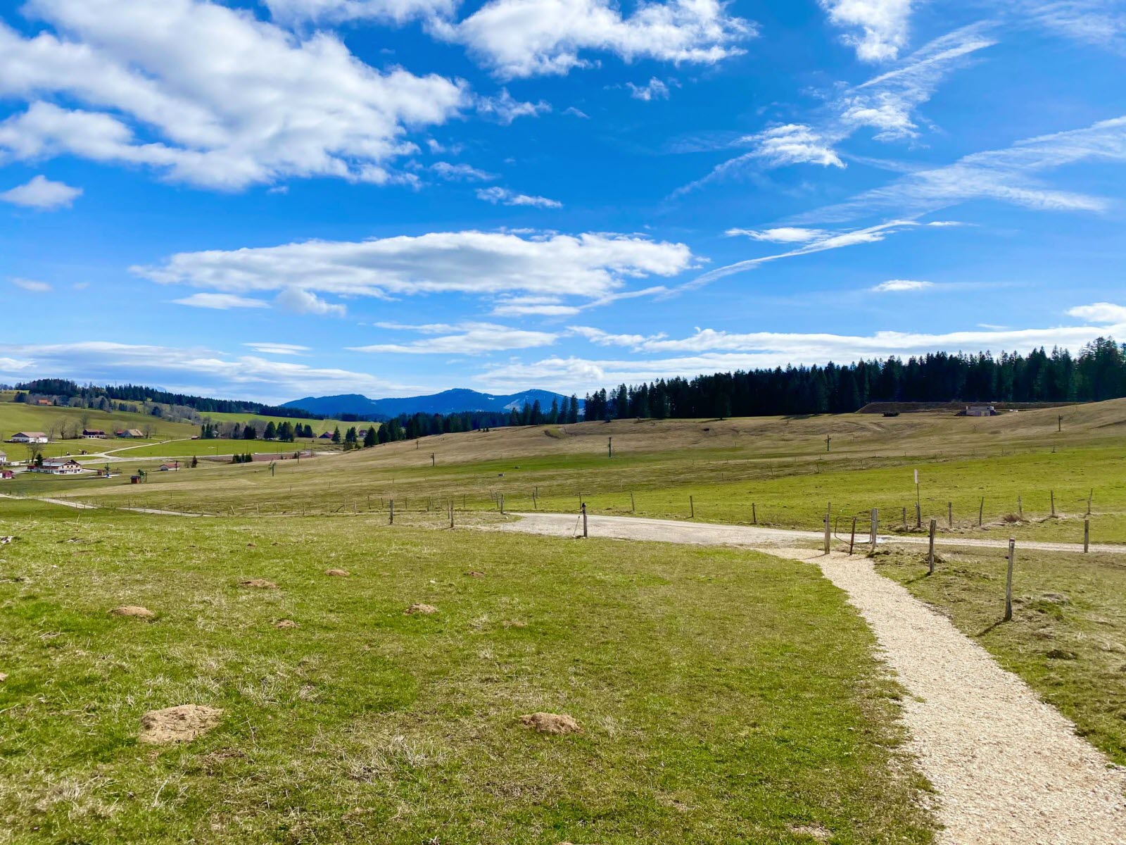
Nice climb, and beautiful walk on the cliffs. Last 4 km's of the walk are very boring along a forest road en asphalt road.
Also enjoy:

Already more than 200,000 users!