Uphill
449m
Length
8km
Duration
3h30min
Elev gain
449m
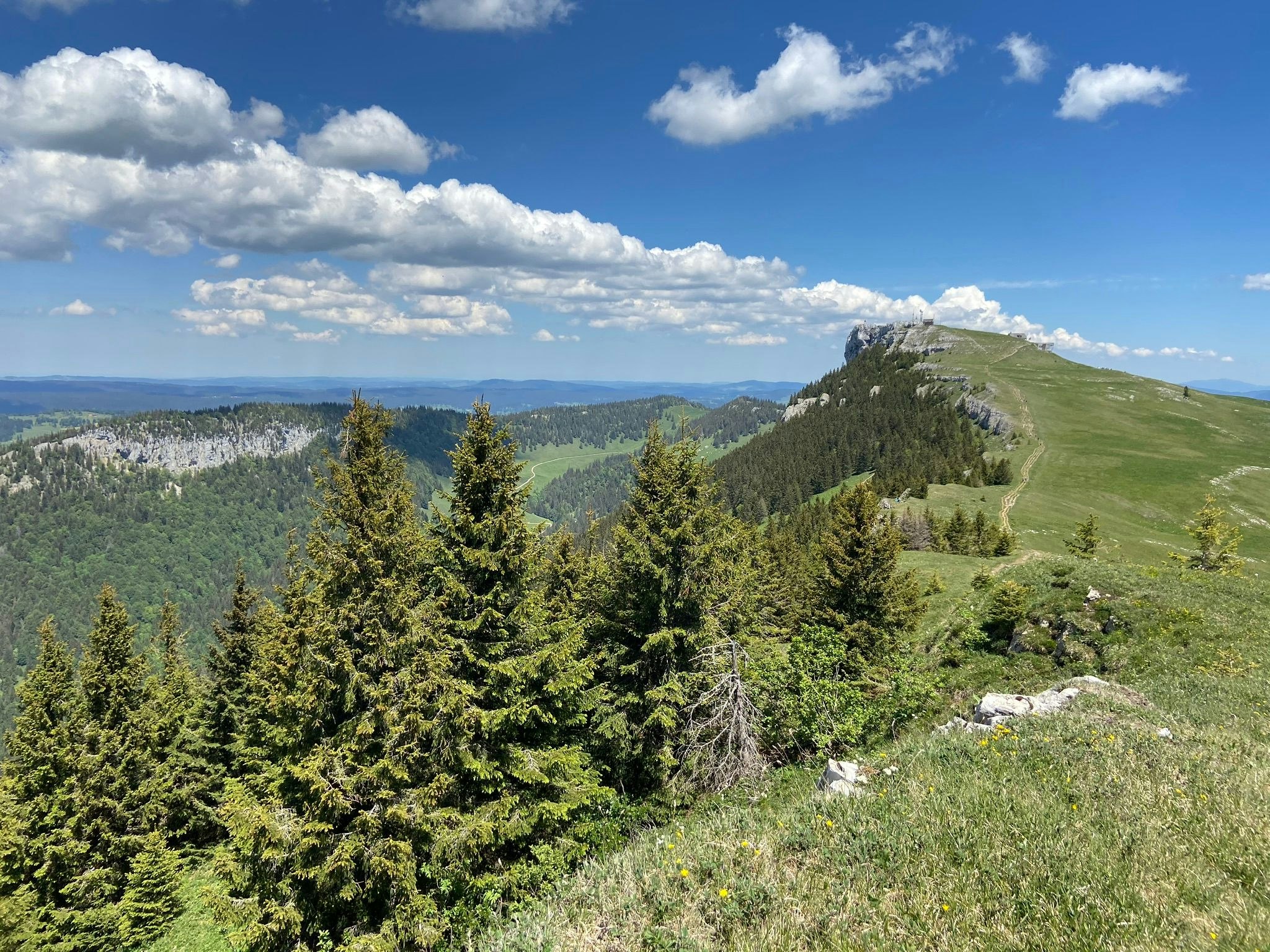
Ascension of the Chasseron, summit culminating at more than 1,600 meters above sea level. In a beautiful wild nature, this route climbs up to the Chasseron via the Petites Roches. At the top, the view of the lakes and the mountains is impressive. It is then necessary to return to the direction of the starting point in order to close this pleasant hike.

Already more than 200,000 users!
Uphill
449m
Highest point
1601m
Downhill
449m
Lowest point
1187m
Route type
Loop
Download the map on your smartphone to save battery and rest assured to always keep access to the route, even without signal.
Includes IGN France and Swisstopo.
I indicate whether dogs are allowed or prohibited on this trail
From May to October
0 ratings
Also enjoy:

Already more than 200,000 users!


