Uphill
446m
Length
7km
Duration
3h
Elev gain
446m
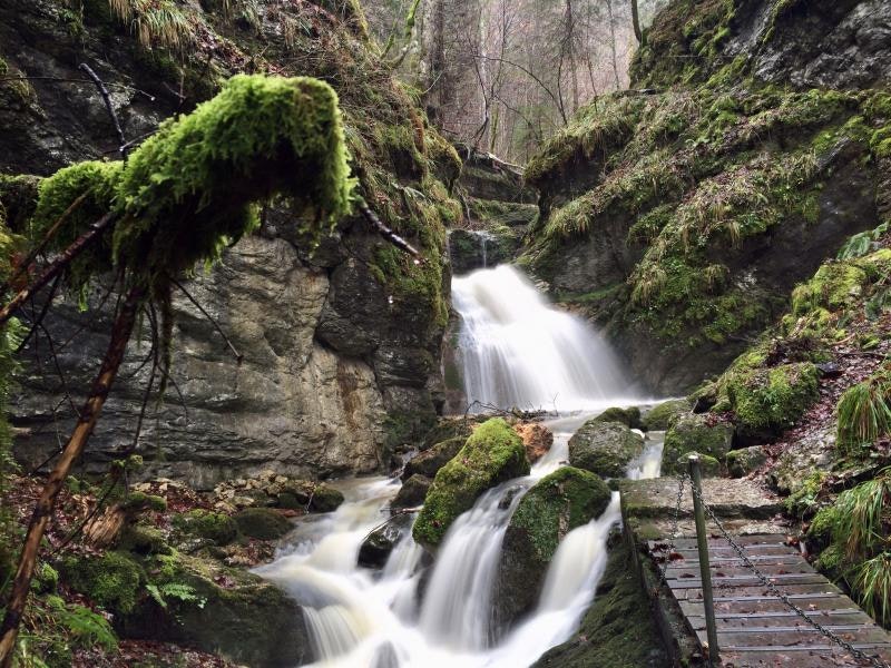
Leaving from Môtiers, this walk takes place in the heart of the Poeta-Raisse gorges. On rocky and narrow paths, which can also be slippery in rainy weather, the route follows the course of the river and leads to pretty little waterfalls.

Already more than 200,000 users!
Uphill
446m
Highest point
1181m
Downhill
446m
Lowest point
762m
Route type
There and back
Download the map on your smartphone to save battery and rest assured to always keep access to the route, even without signal.
Includes IGN France and Swisstopo.
I indicate whether dogs are allowed or prohibited on this trail
Can be difficult in Winter
2 ratings
Also enjoy:

Already more than 200,000 users!


