Uphill
500m
Length
10km
Duration
4h
Elev gain
500m
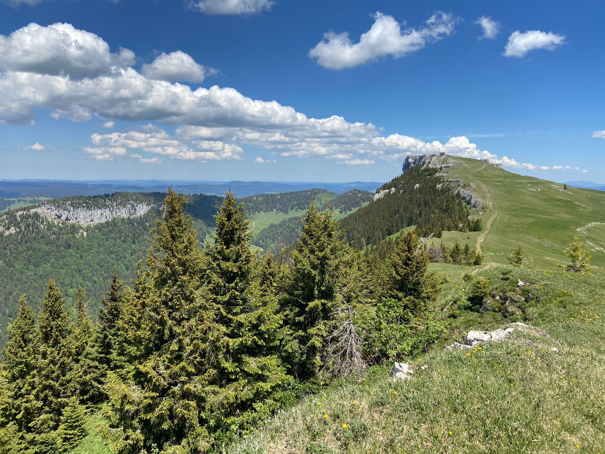
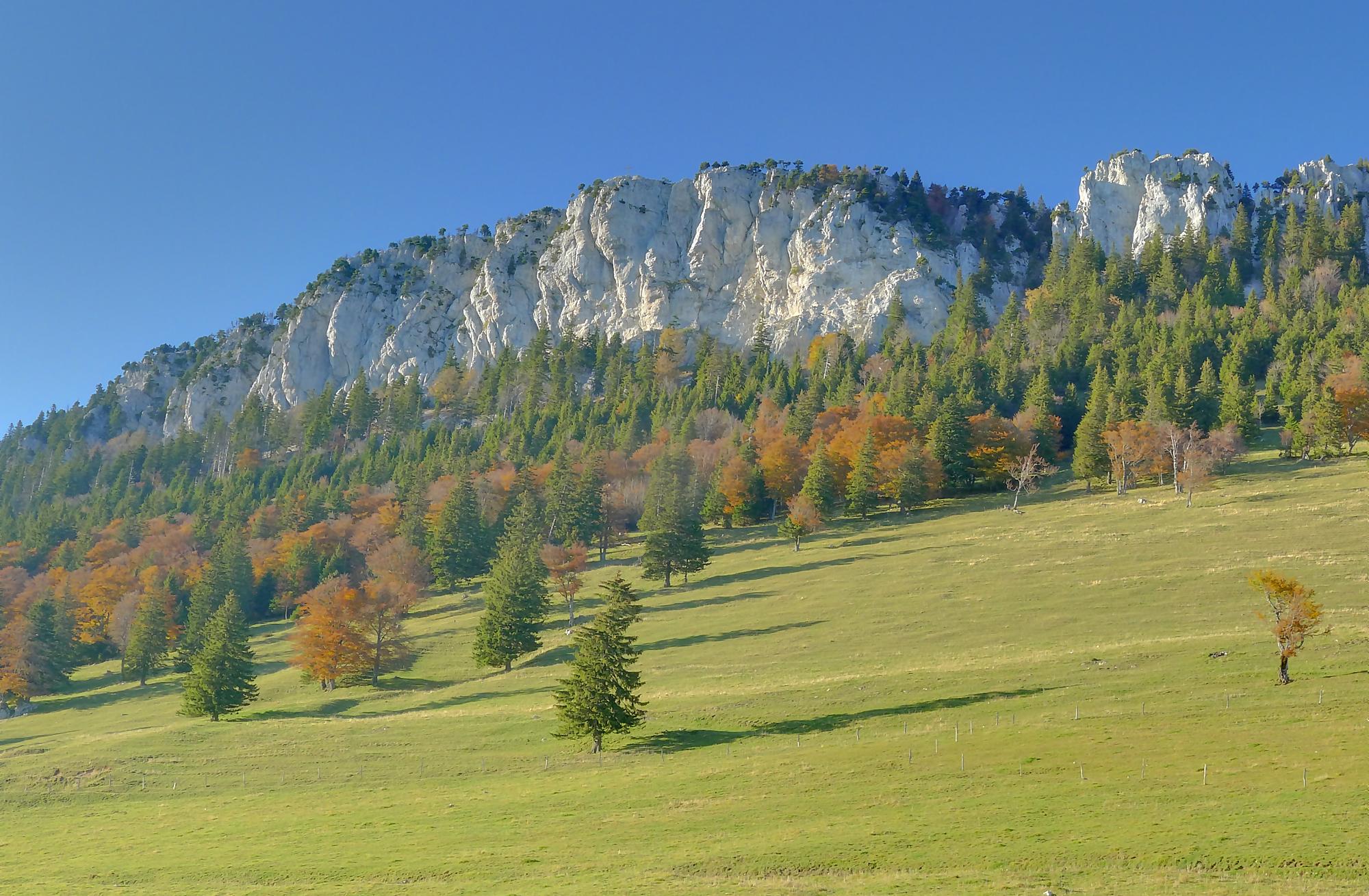
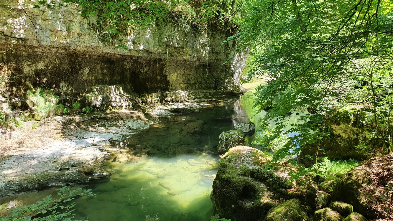
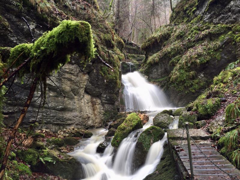
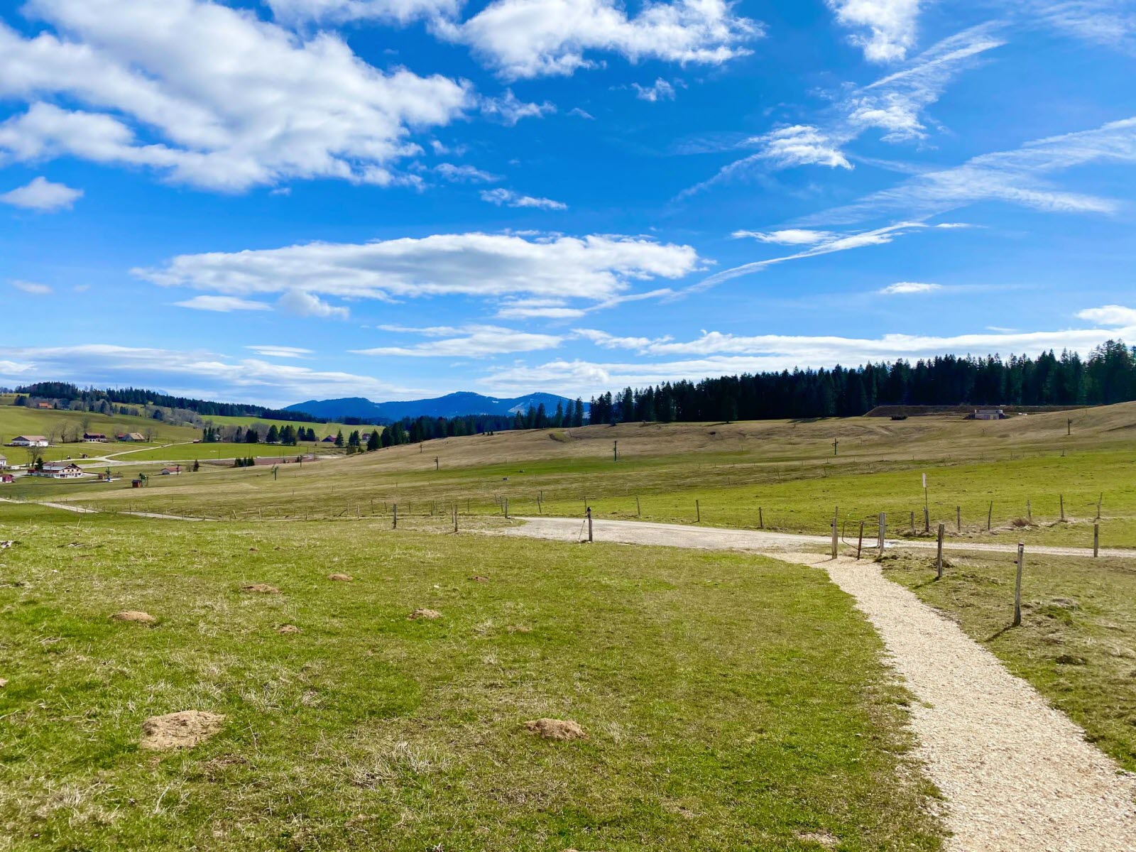
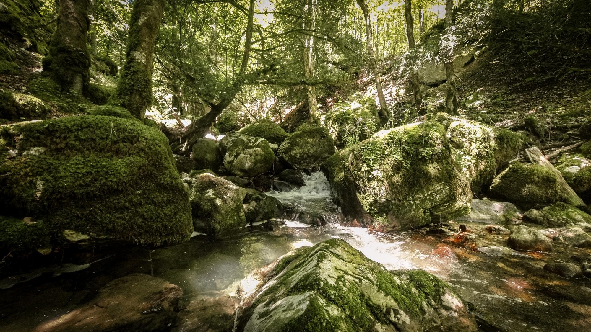
Departing from Vuiteboeuf, this hike quickly takes the direction of Sainte-Croix via the Covatannaz gorges. The path climbs and is done in the middle of narrow gorges, where some landscaped passages are quite impressive. Then, when you go down, the path takes the old Roman road until you return to the starting point.

Already more than 200,000 users!
Uphill
500m
Highest point
1053m
Downhill
500m
Lowest point
616m
Route type
Loop
Download the map on your smartphone to save battery and rest assured to always keep access to the route, even without signal.
Includes IGN France and Swisstopo.
I indicate whether dogs are allowed or prohibited on this trail
Can be difficult in Winter
1 rating
Also enjoy:

Already more than 200,000 users!