Uphill
121m
Length
4km
Duration
1h30min
Elev gain
121m
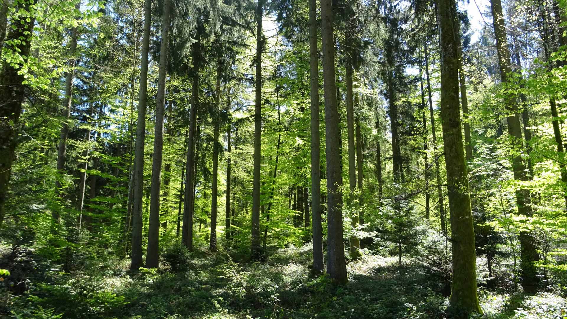
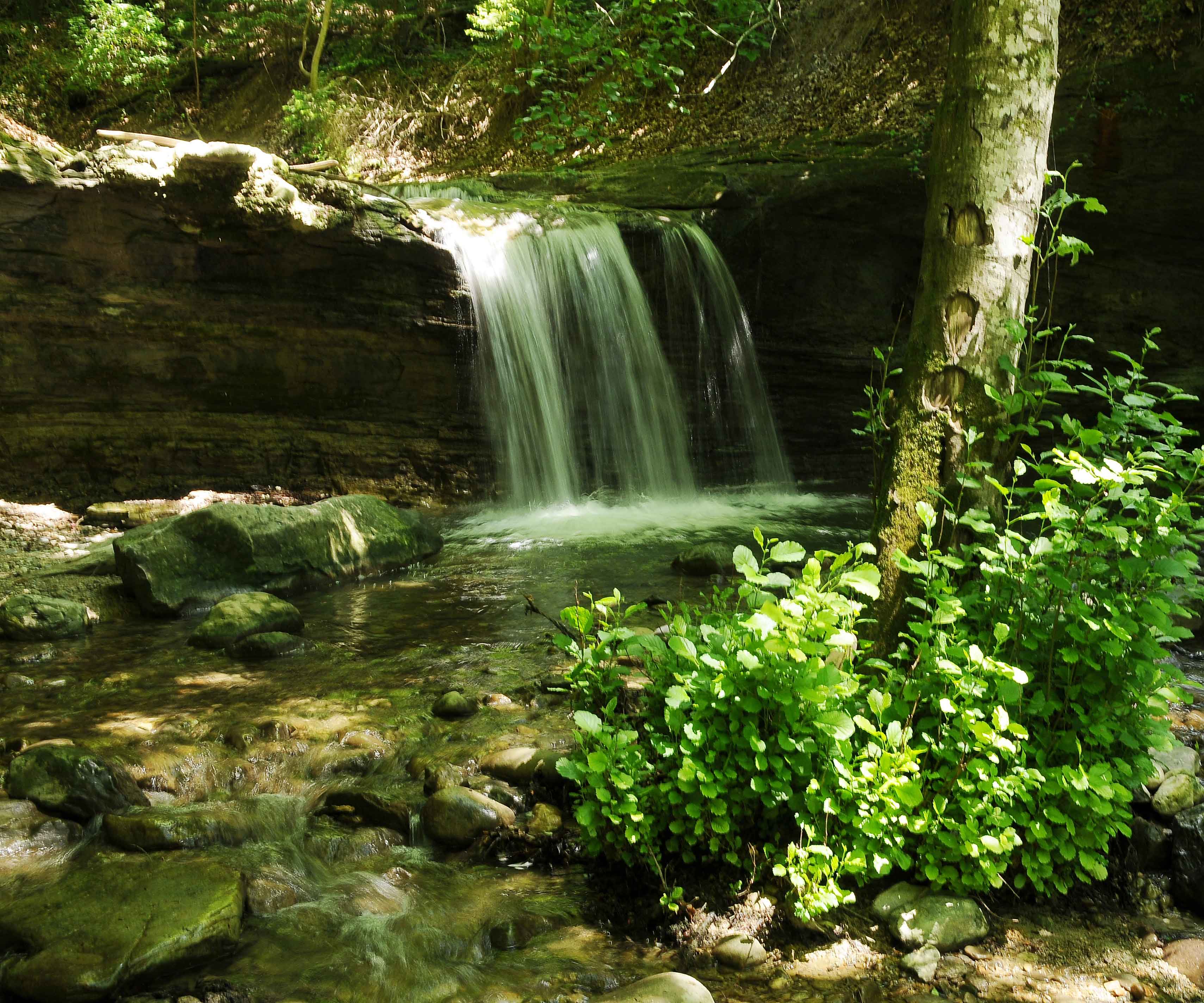
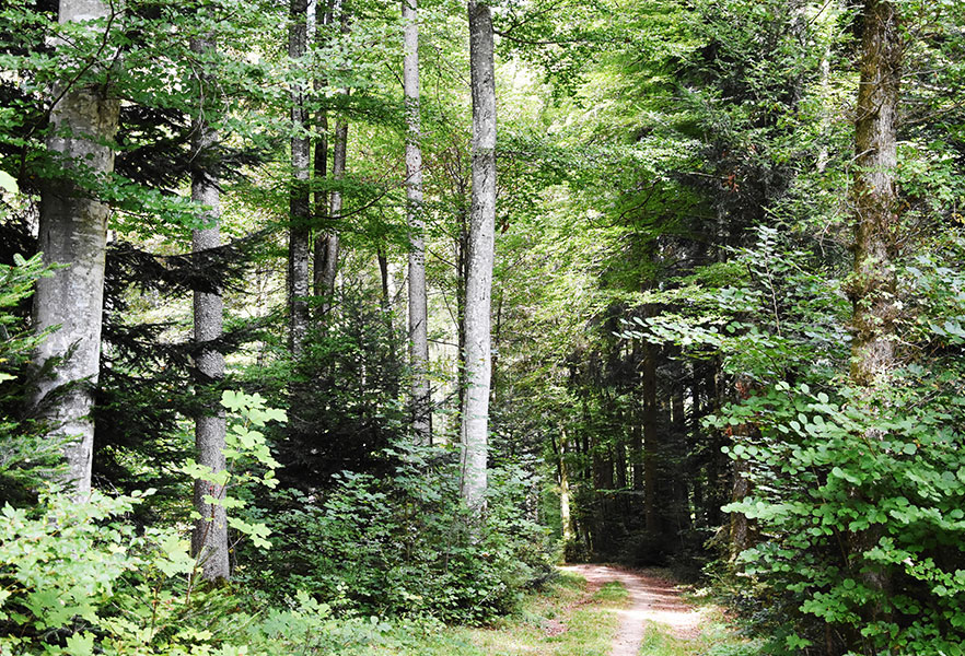
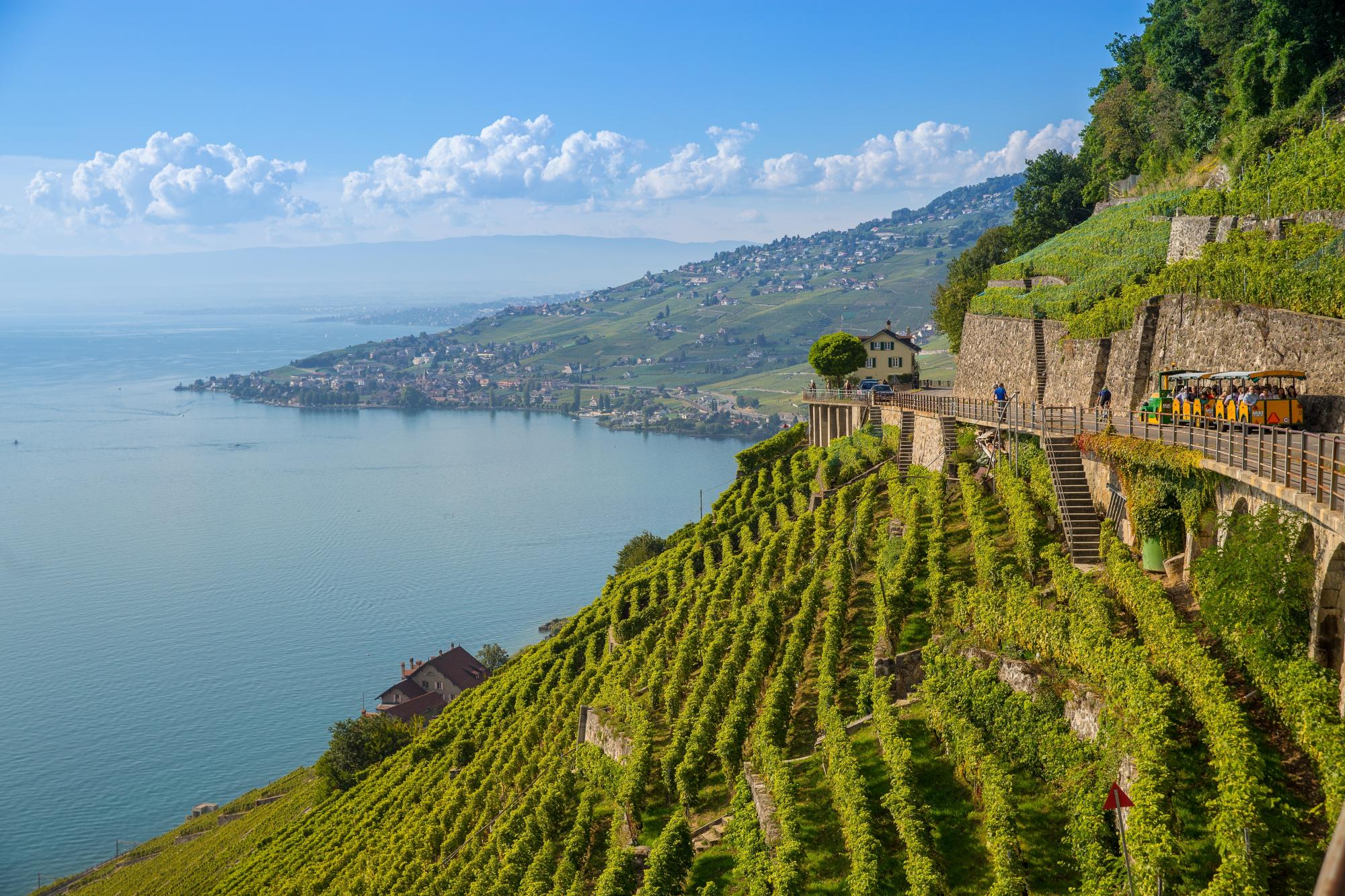
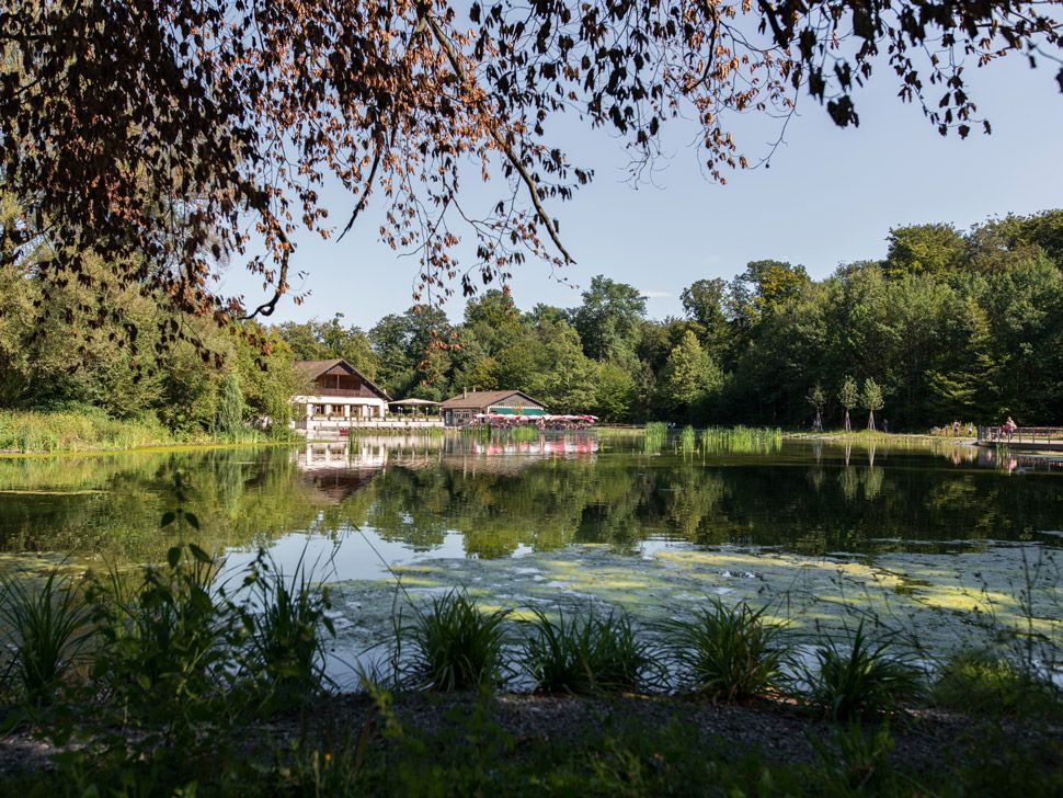
Nice little walk in the heart of the Sauvabelin forest, located above Lausanne. The course makes a loop on relatively flat paths and offers the possibility of picnicking in several places, ideal for a family outing!

Already more than 200,000 users!
Uphill
121m
Highest point
679m
Downhill
121m
Lowest point
588m
Route type
Loop
Download the map on your smartphone to save battery and rest assured to always keep access to the route, even without signal.
Includes IGN France and Swisstopo.
I indicate whether dogs are allowed or prohibited on this trail
All year
1 rating
Also enjoy:

Already more than 200,000 users!