Uphill
85m
Length
4km
Duration
1h30min
Elev gain
85m
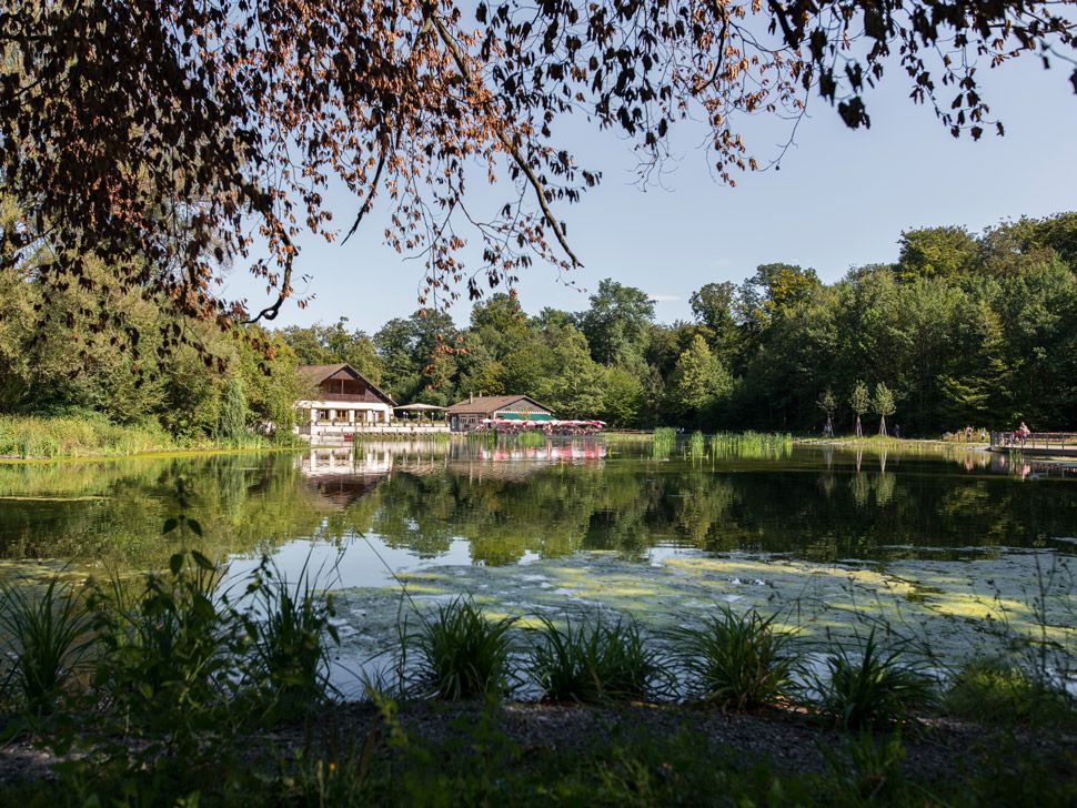
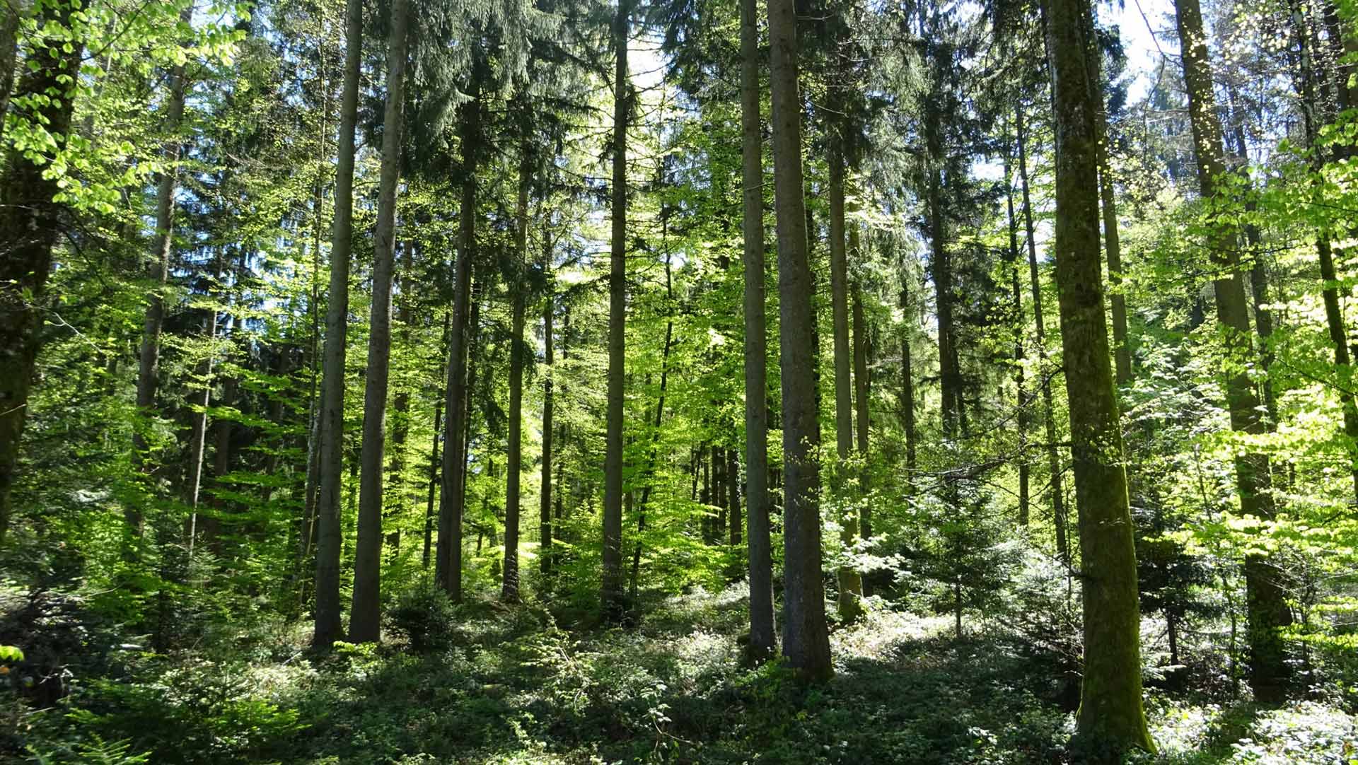
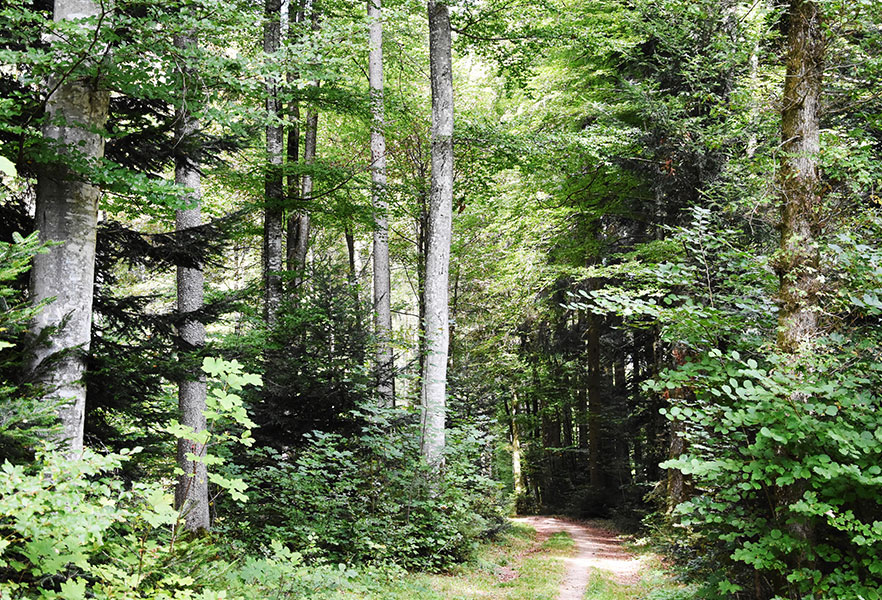
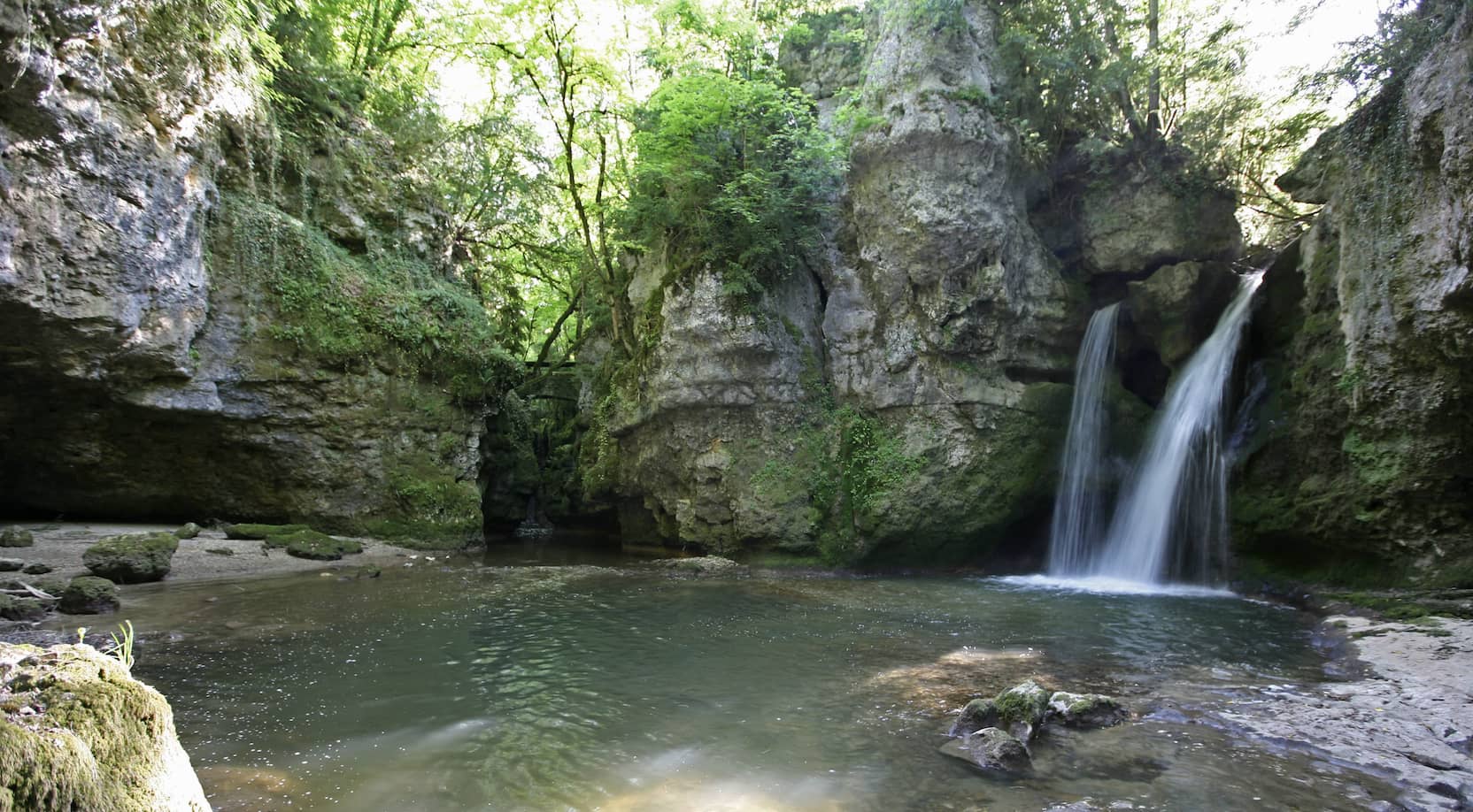
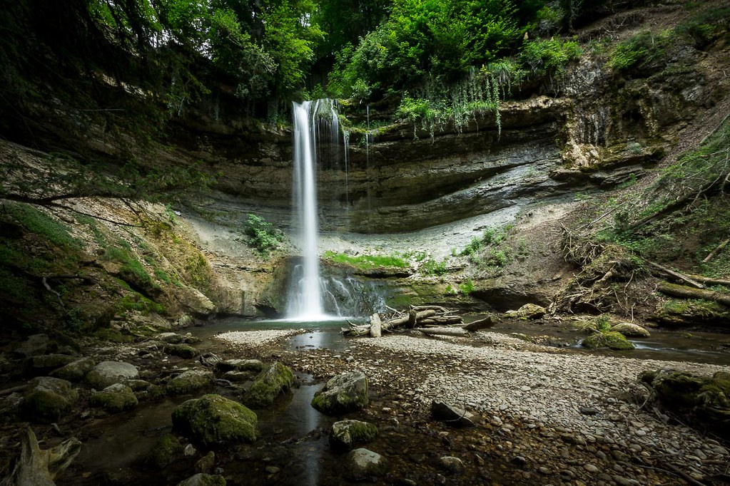
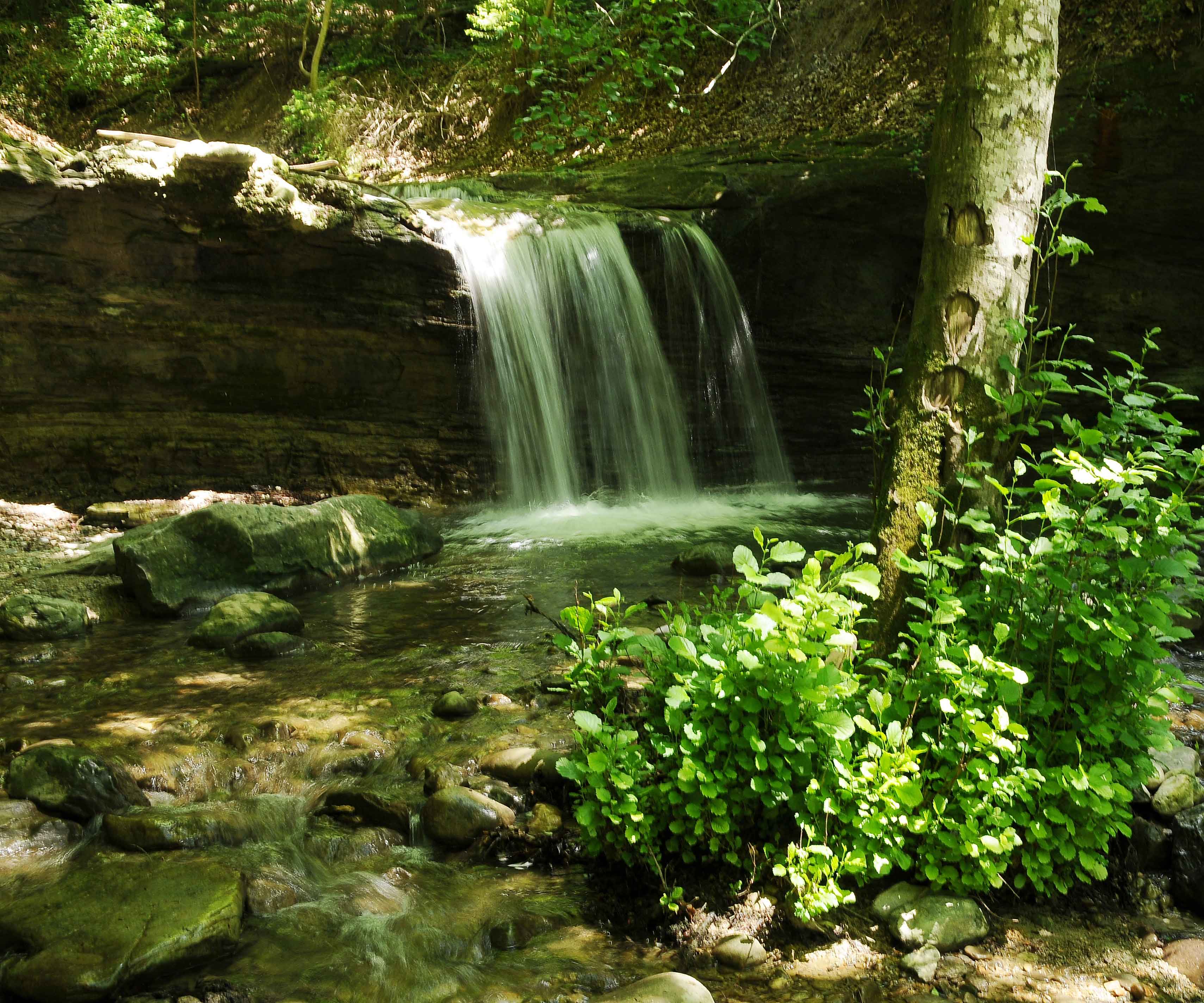
Departing from the town of Crissier, this route quickly leads through magnificent nature. On a well-maintained path, the route goes up the course of the Mèbre until it ends at its famous waterfall.

Already more than 200,000 users!
Uphill
85m
Highest point
532m
Downhill
85m
Lowest point
443m
Route type
There and back
Download the map on your smartphone to save battery and rest assured to always keep access to the route, even without signal.
Includes IGN France and Swisstopo.
I indicate whether dogs are allowed or prohibited on this trail
All year
3 ratings
Also enjoy:

Already more than 200,000 users!