Uphill
189m
Length
9km
Duration
3h
Elev gain
189m
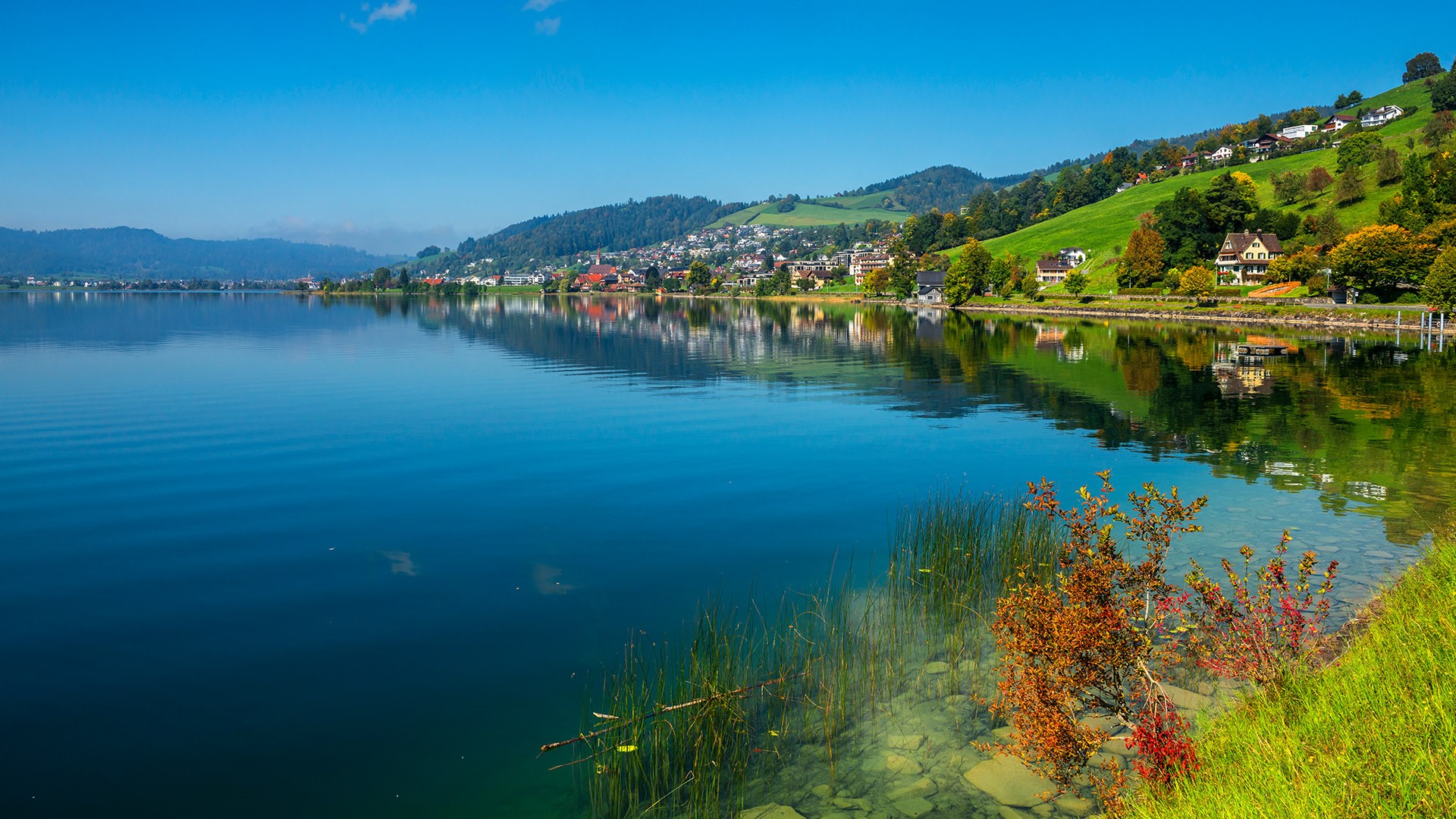
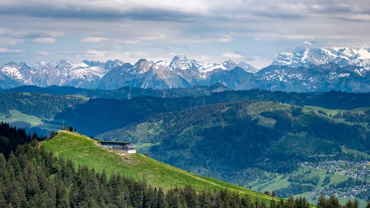
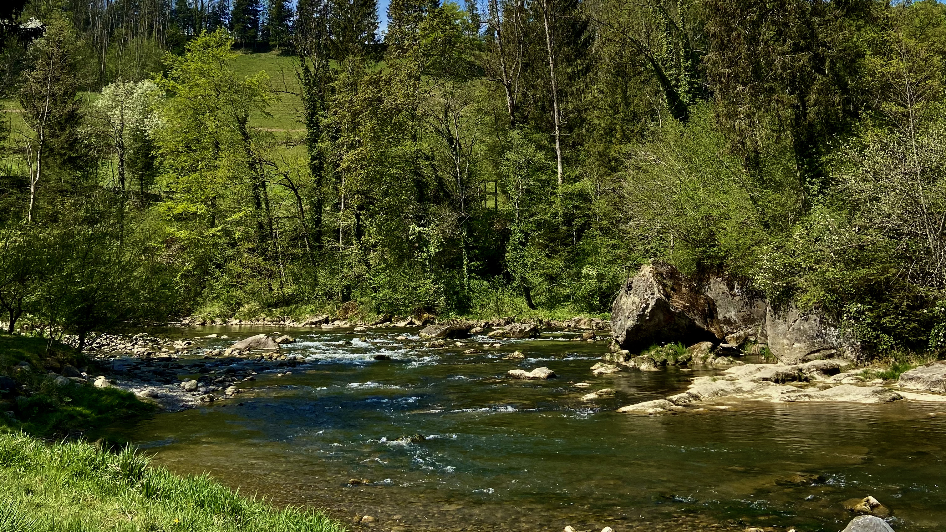
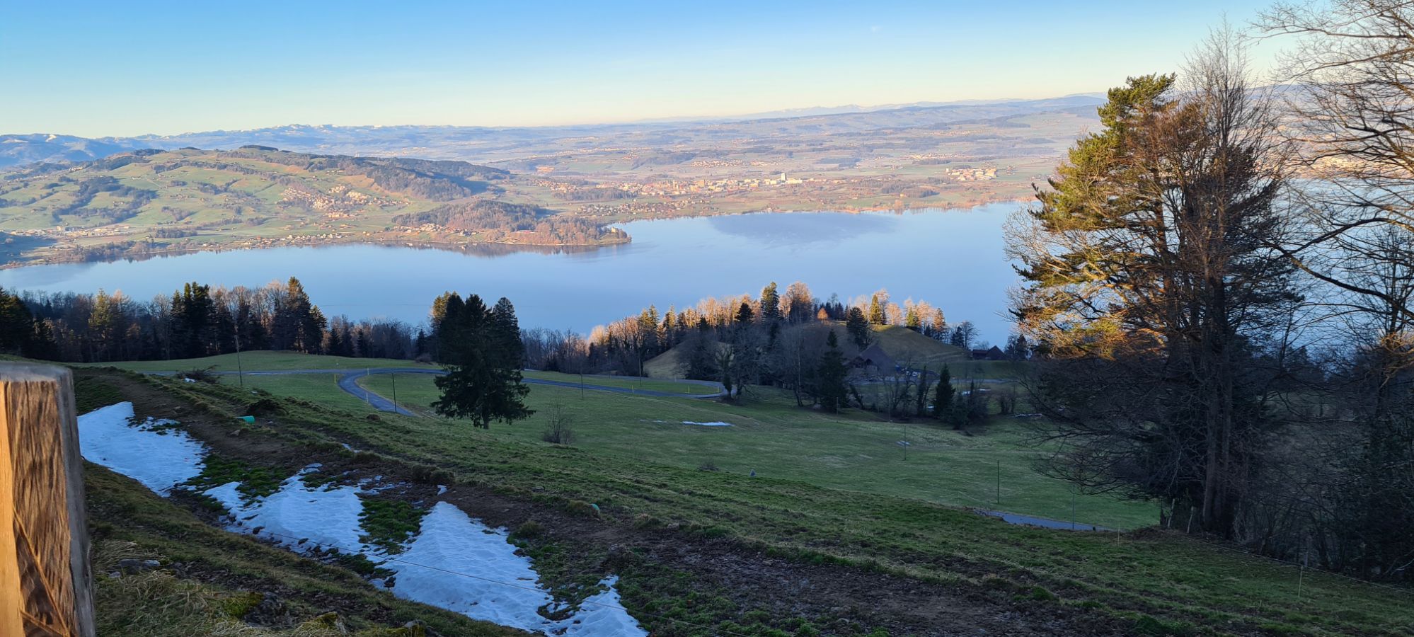
Pretty short hike to attack the Zugerberg, a summit located at 1,039 meters above sea level. The route loops on relatively flat, well-maintained trails, which offer plenty of views of Lake Zug and the surrounding mountains.

Already more than 200,000 users!
Uphill
189m
Highest point
1021m
Downhill
189m
Lowest point
932m
Route type
Loop
Download the map on your smartphone to save battery and rest assured to always keep access to the route, even without signal.
Includes IGN France and Swisstopo.
Parking at the start of the hike.
Zugerberg Station (funicular) nearby.
I indicate whether dogs are allowed or prohibited on this trail
Can be difficult in Winter
0 ratings
Also enjoy:

Already more than 200,000 users!