Uphill
130m
Length
6km
Duration
2h
Elev gain
130m
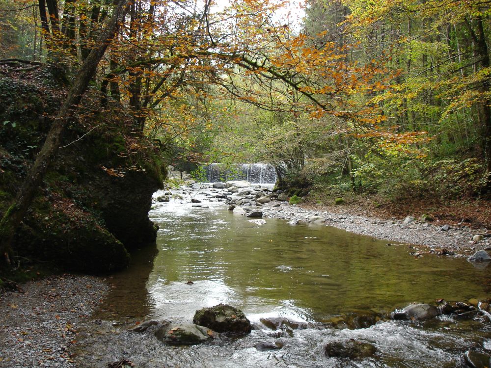
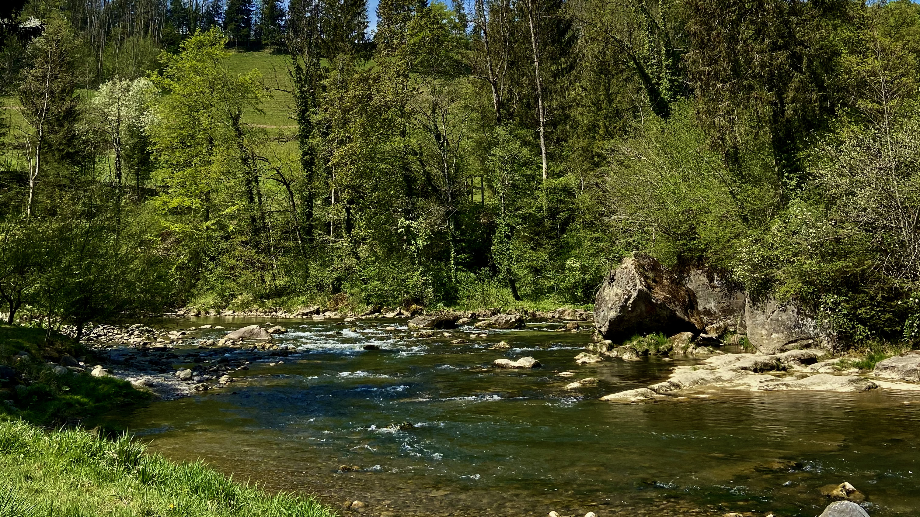
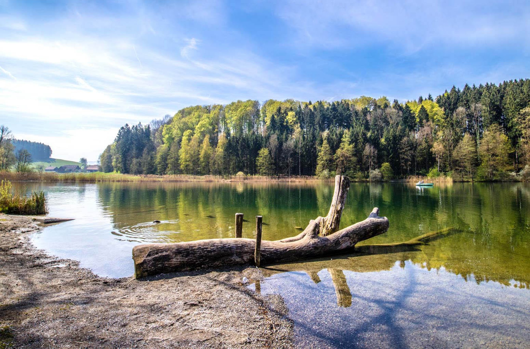
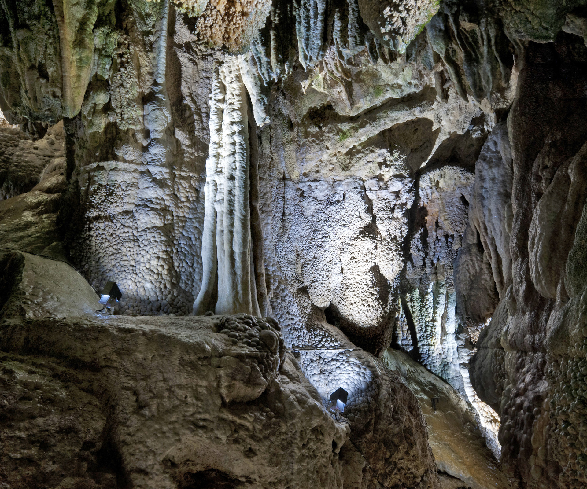
Leaving from Baar, this path runs along the Lorze and leads to the Höllbrücke, near the Höllgrotten caves, all in a wooded environment. Note that visiting the caves is not free.

Already more than 200,000 users!
Uphill
130m
Highest point
556m
Downhill
130m
Lowest point
456m
Route type
Loop
Download the map on your smartphone to save battery and rest assured to always keep access to the route, even without signal.
Includes IGN France and Swisstopo.
I indicate whether dogs are allowed or prohibited on this trail
All year
0 ratings
Also enjoy:

Already more than 200,000 users!