Uphill
319m
Length
6km
Duration
2h30min
Elev gain
319m
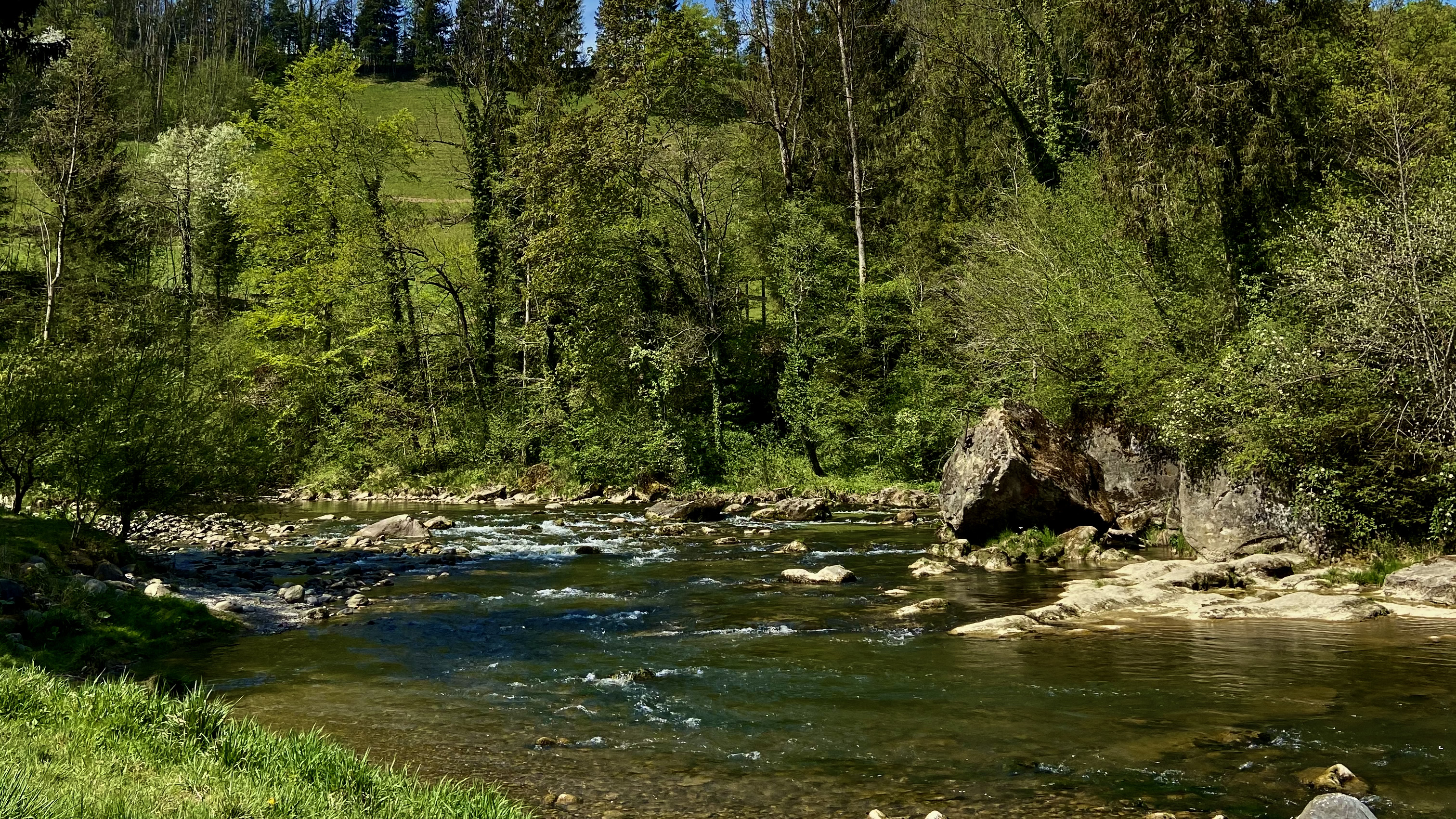
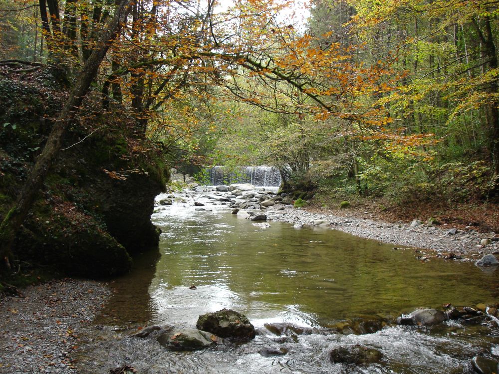
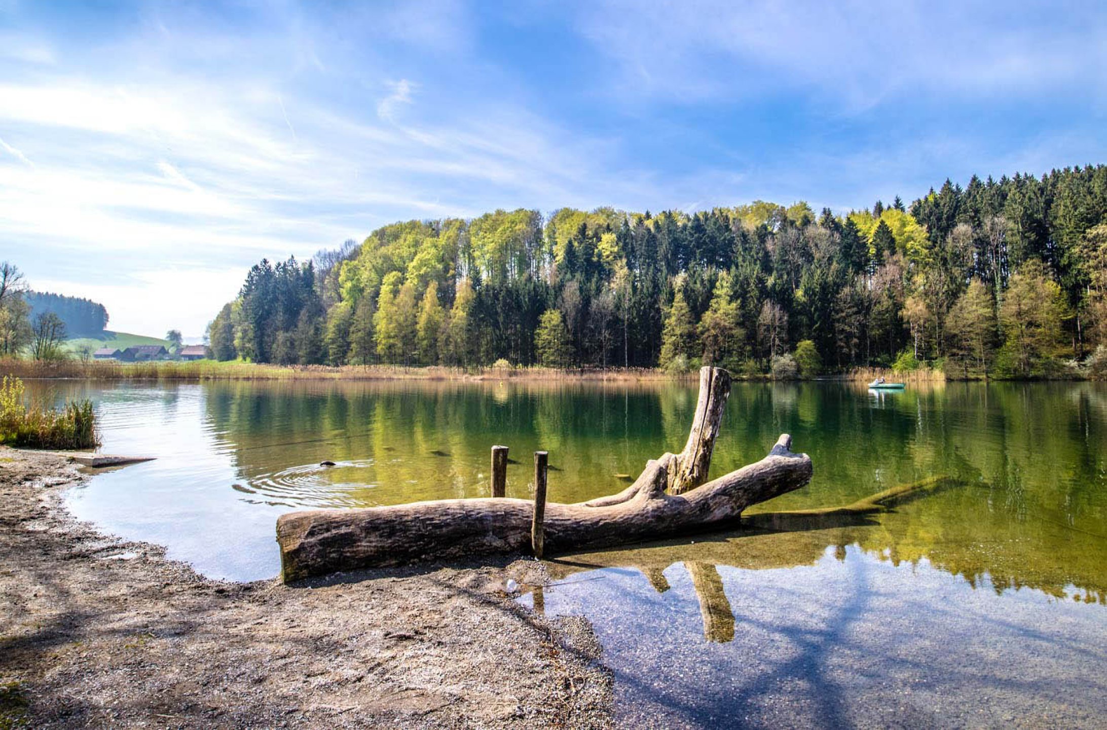
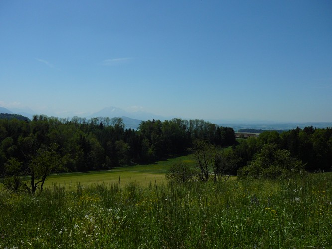
Nice walk around the town of Sihlbrugg, crossroads between the cantons of Zug and Zurich. The route loops through varied landscapes and also offers a beautiful view of Lake Zurich.

Already more than 200,000 users!
Uphill
319m
Highest point
813m
Downhill
319m
Lowest point
540m
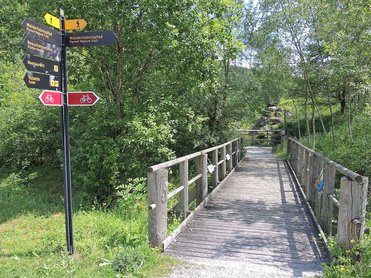
Route type
Loop
Download the map on your smartphone to save battery and rest assured to always keep access to the route, even without signal.
Includes IGN France and Swisstopo.
I indicate whether dogs are allowed or prohibited on this trail
All year
0 ratings
Also enjoy:

Already more than 200,000 users!