Uphill
59m
Length
4km
Duration
1h30min
Elev gain
59m
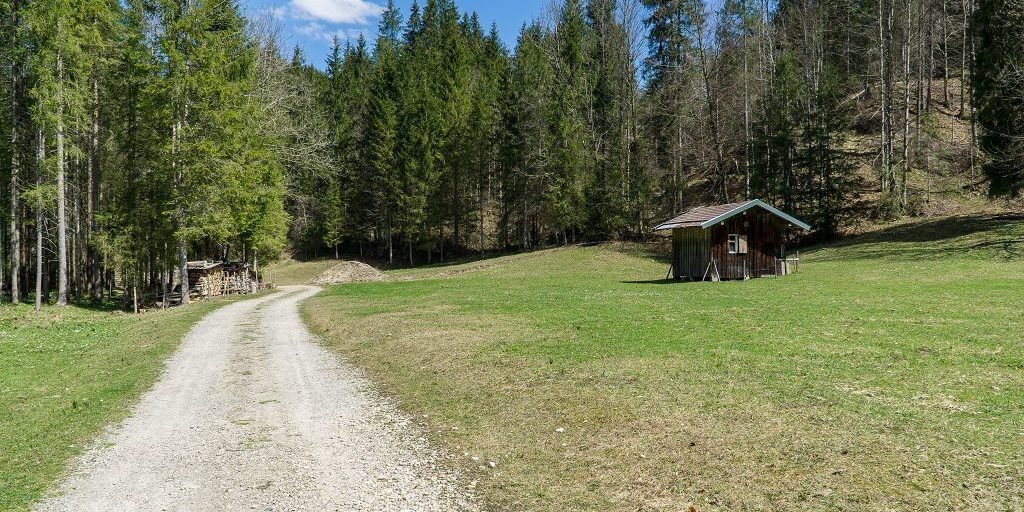
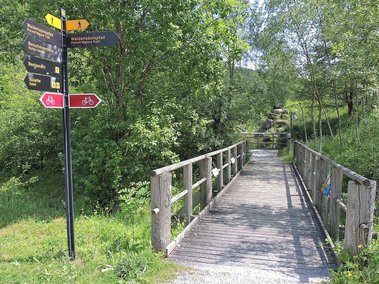
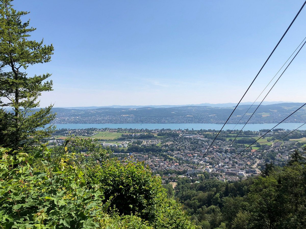
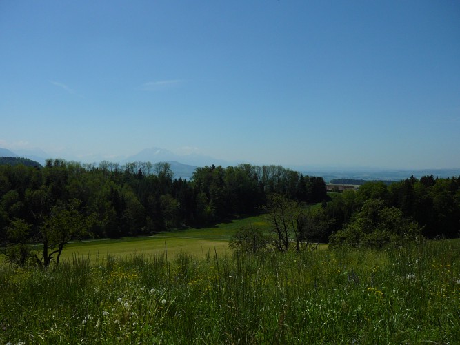
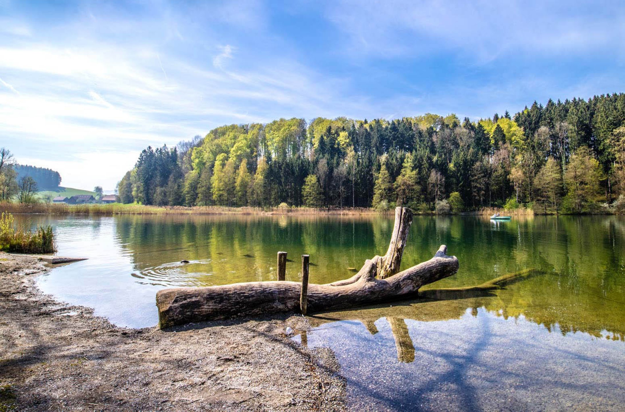
Starting from the car park near the Erpel restaurant, this route goes around the very beautiful Lake Türler. The path is punctuated with small places to rest and offers superb views of this charming lake.

Already more than 200,000 users!
Uphill
59m
Highest point
684m
Downhill
59m
Lowest point
639m
Route type
Loop
Download the map on your smartphone to save battery and rest assured to always keep access to the route, even without signal.
Includes IGN France and Swisstopo.
I indicate whether dogs are allowed or prohibited on this trail
All year
0 ratings
Also enjoy:

Already more than 200,000 users!