Uphill
344m
Length
9km
Duration
3h30min
Elev gain
344m
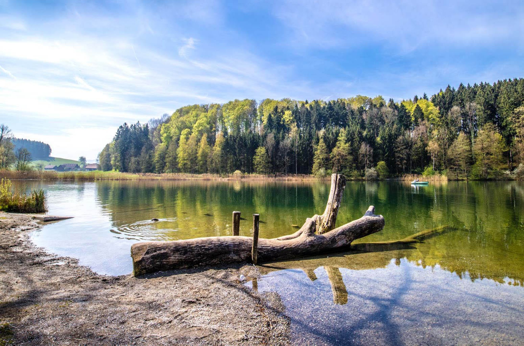
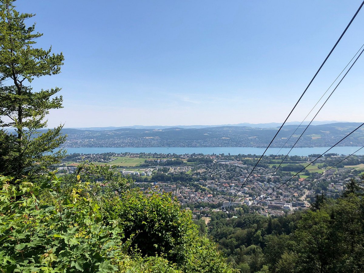
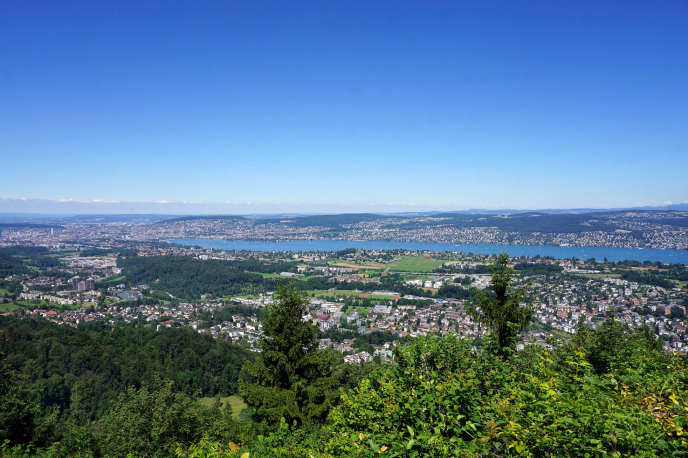
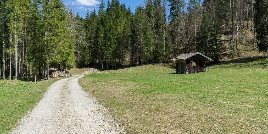
Departing from Aeugstertal, this circular route climbs up to Buchenegg and then continues towards the Felsenegg restaurant, offering a panoramic view of Zürich and its surroundings. In short, a nice little hike, ideal for a little getaway with friends.

Already more than 200,000 users!
Uphill
344m
Highest point
832m
Downhill
344m
Lowest point
582m
Route type
Loop
Download the map on your smartphone to save battery and rest assured to always keep access to the route, even without signal.
Includes IGN France and Swisstopo.
I indicate whether dogs are allowed or prohibited on this trail
All year
0 ratings
Also enjoy:

Already more than 200,000 users!