Uphill
340m
Length
2km
Duration
1h30min
Elev gain
340m
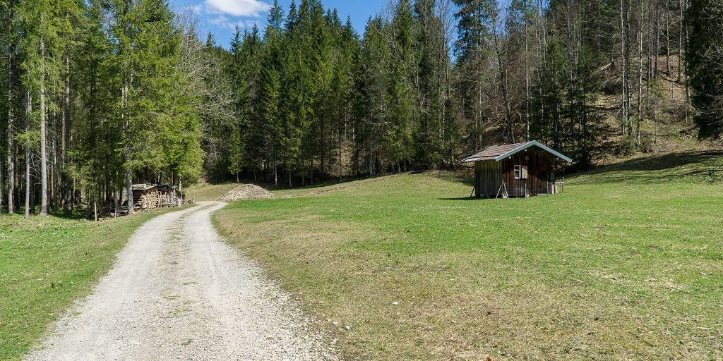
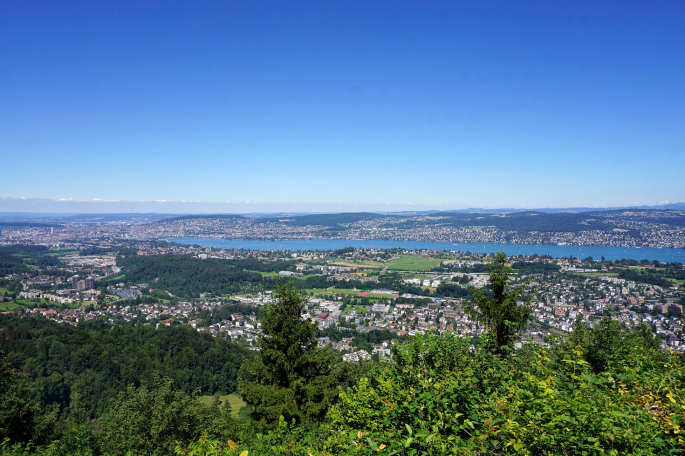
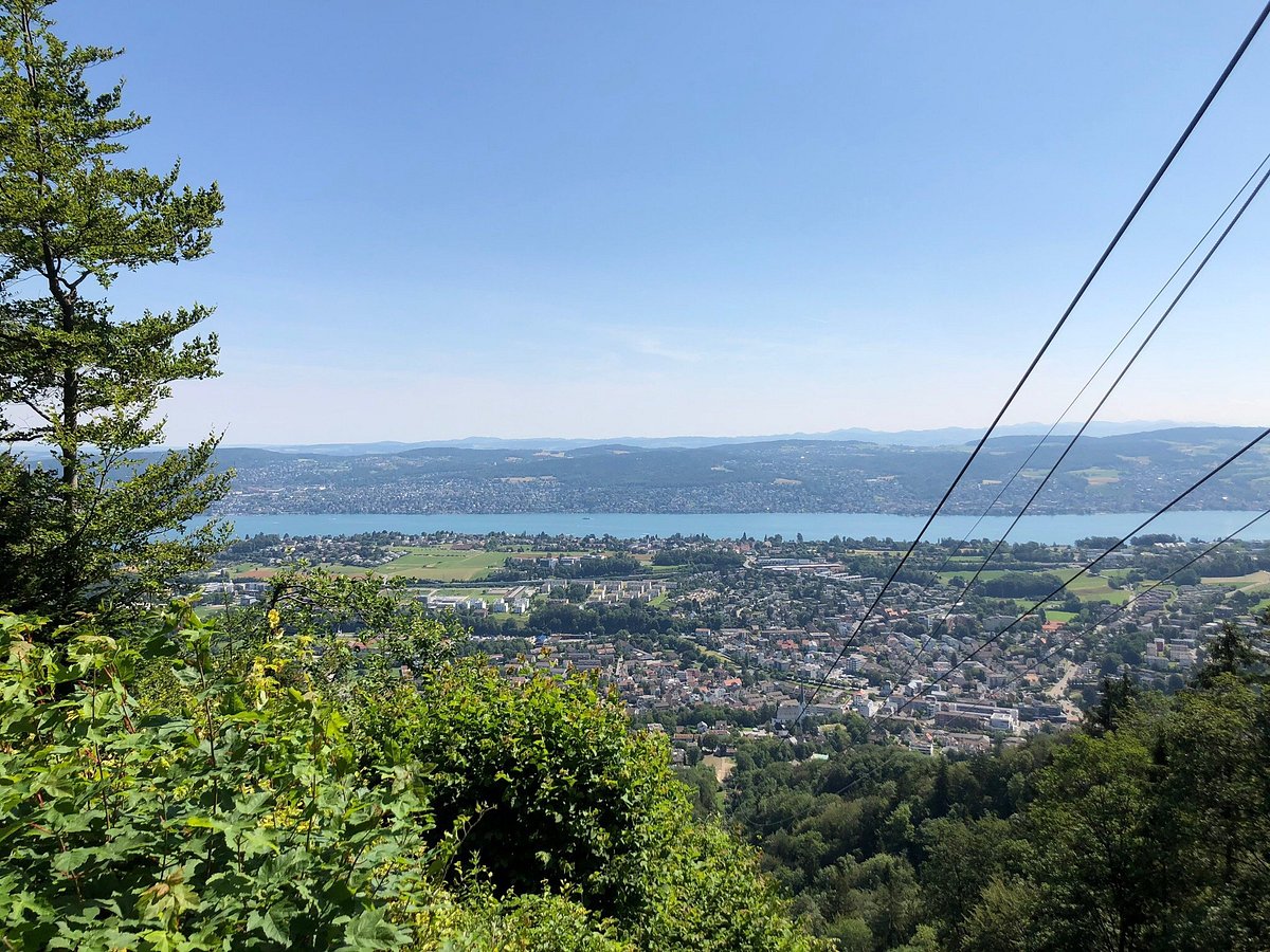
From Adliswil station, this steep path leads to Felsenegg. The route crosses the Adliswil forest and then reaches the Felsenegg restaurant, offering a panoramic view of Zürich and its very pretty lake. The return can be done by cable car.

Already more than 200,000 users!
Uphill
340m
Highest point
812m
Downhill
0m
Lowest point
463m
Route type
One way
Download the map on your smartphone to save battery and rest assured to always keep access to the route, even without signal.
Includes IGN France and Swisstopo.
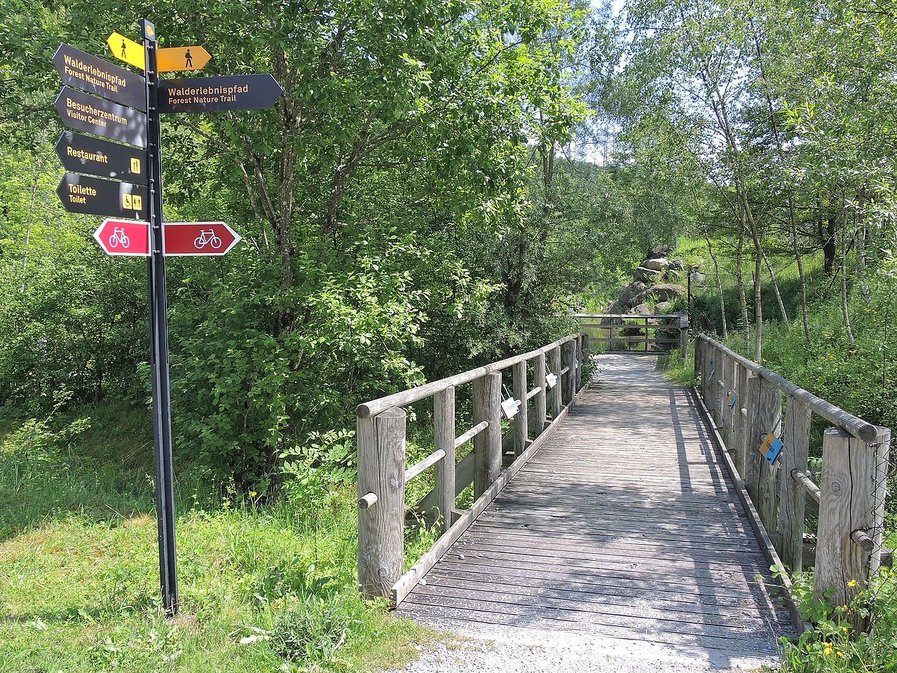
Adliswil Station at the start (train).
Felsenegg Station at the arrival (cable car).
I indicate whether dogs are allowed or prohibited on this trail
All year
1 rating
Also enjoy:

Already more than 200,000 users!