Uphill
20m
Length
4km
Duration
1h
Elev gain
20m
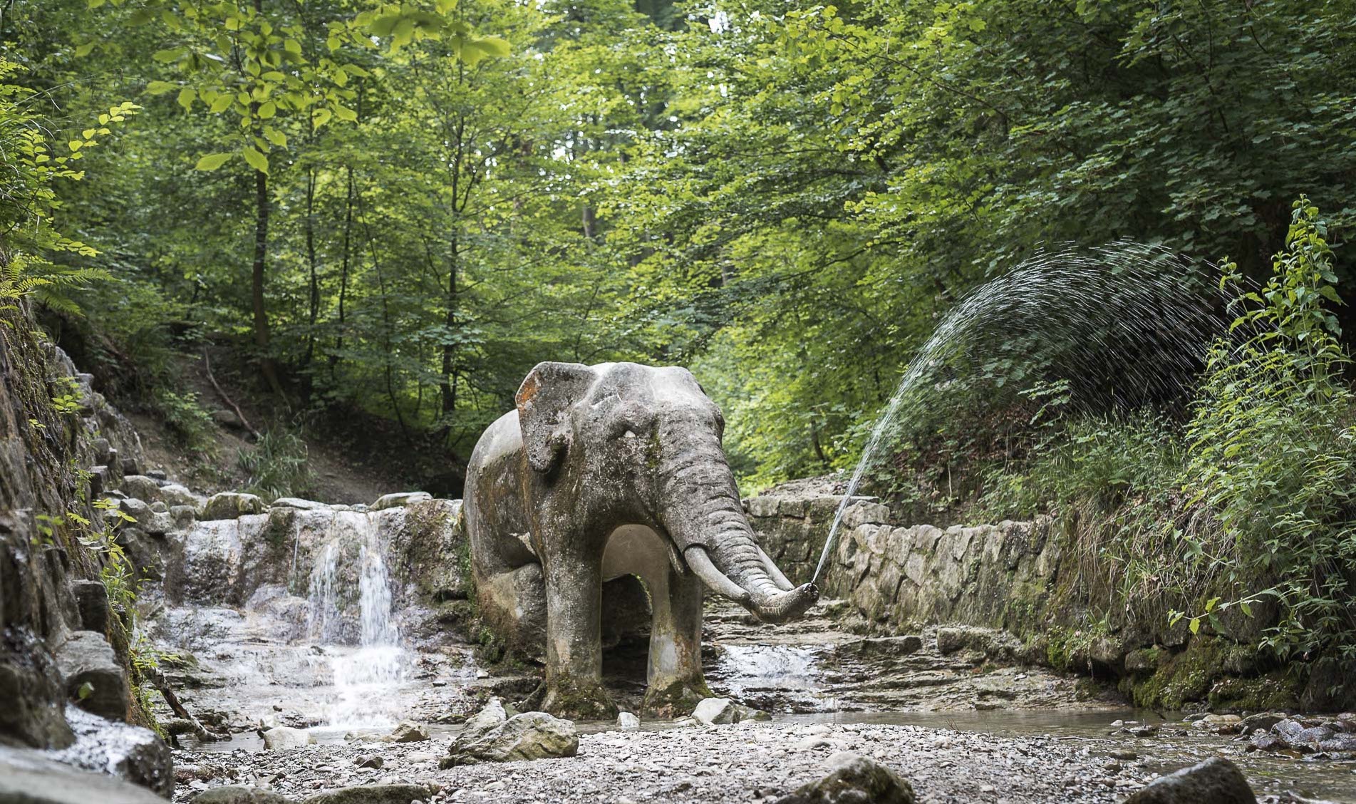
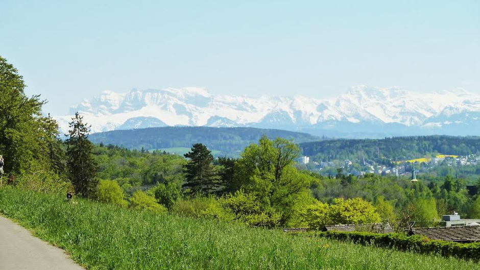
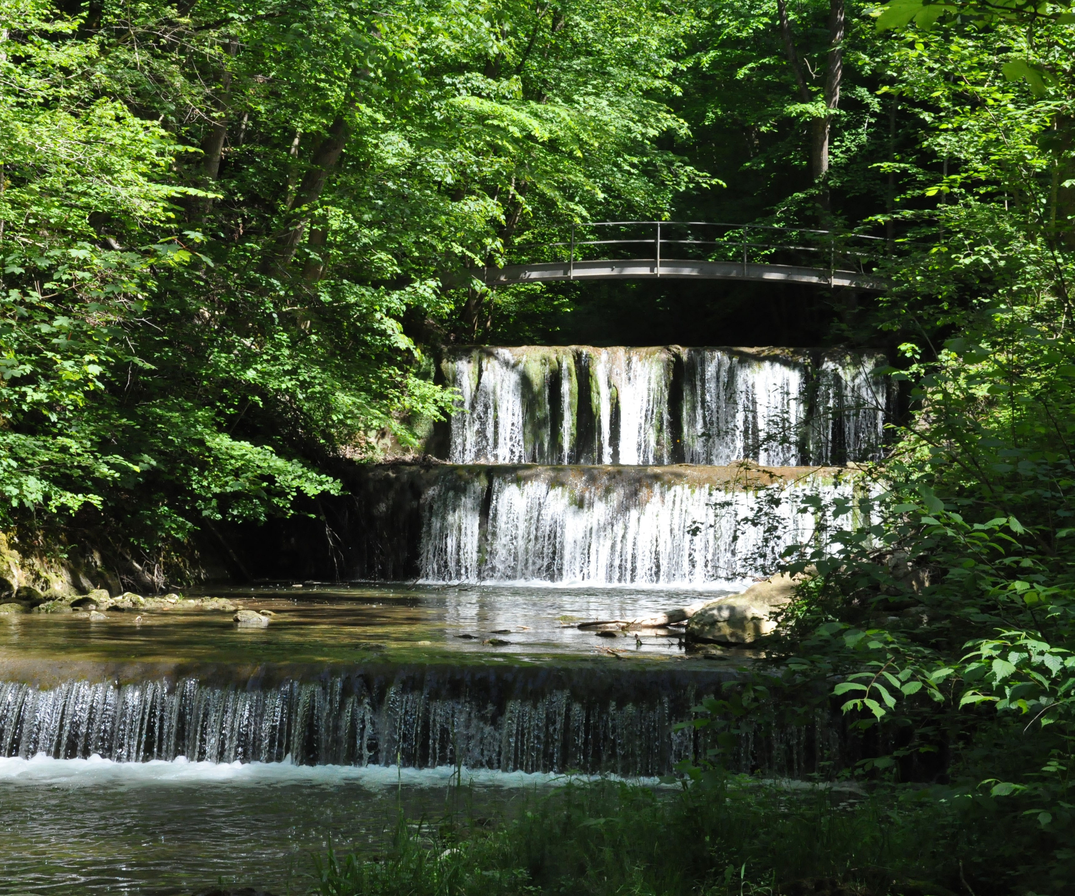
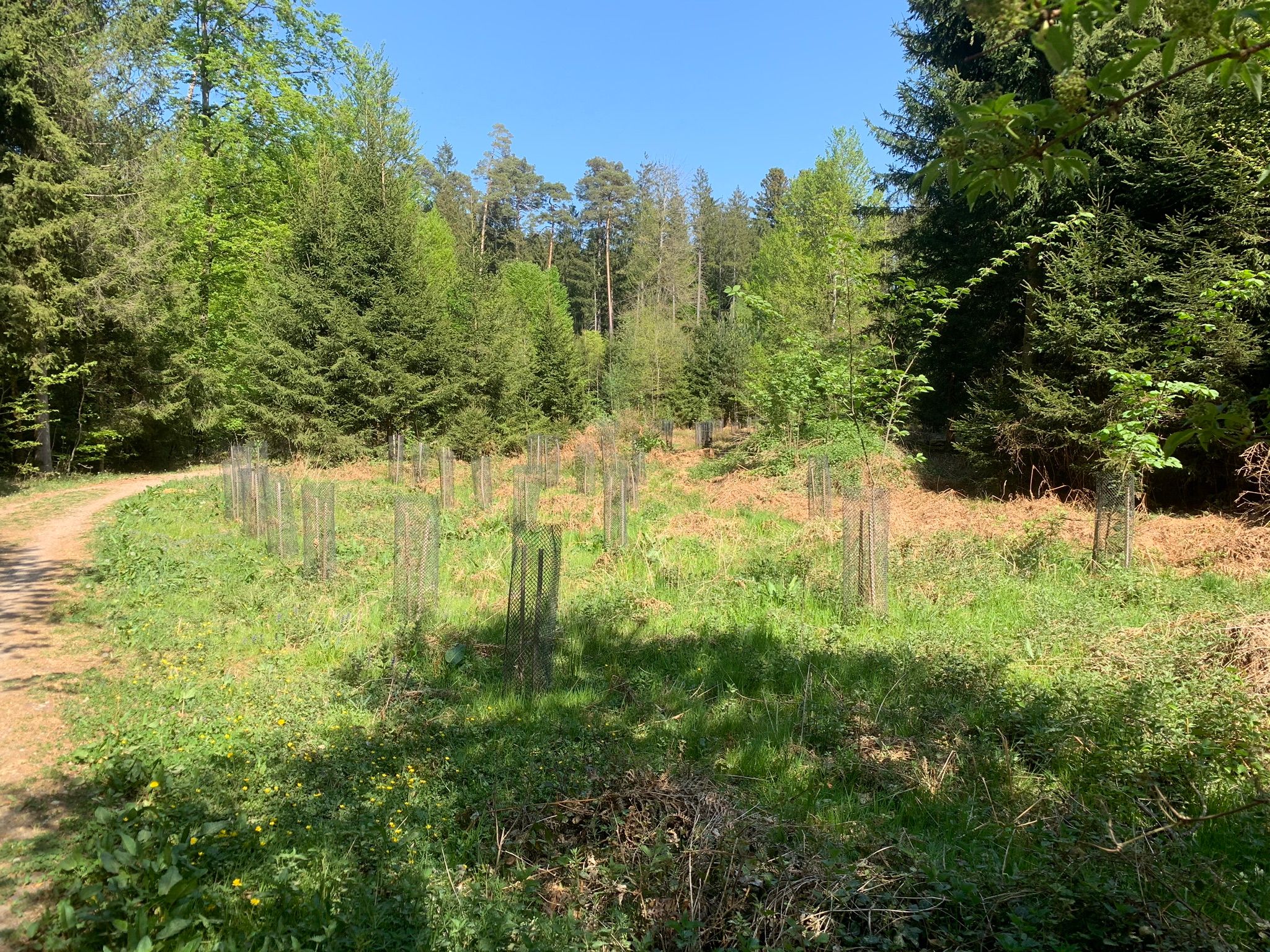
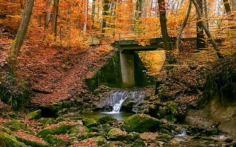
Here is an original walk between Zollikerberg and Burgwies. The route, in continuous descent, runs along the Wehrenbach in the shade of the trees and offers pretty views of the latter. A short simple walk in the middle of nature, it feels good.

Already more than 200,000 users!
Uphill
20m
Highest point
610m
Downhill
167m
Lowest point
458m
Route type
One way
Download the map on your smartphone to save battery and rest assured to always keep access to the route, even without signal.
Includes IGN France and Swisstopo.
Parking at the start of the hike.
Zollikerberg Station at the start.
Burgwies Station at the arrival.
I indicate whether dogs are allowed or prohibited on this trail
All year
0 ratings
Also enjoy:

Already more than 200,000 users!