Uphill
116m
Length
5km
Duration
1h30min
Elev gain
116m
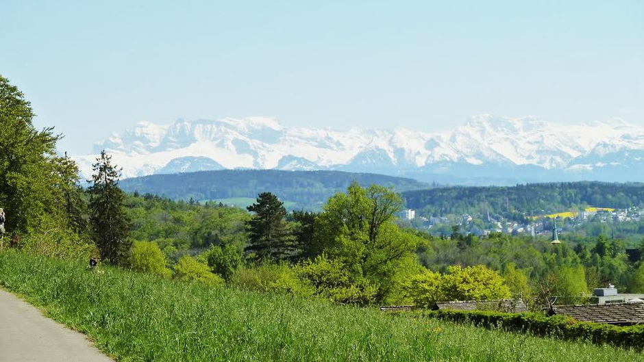
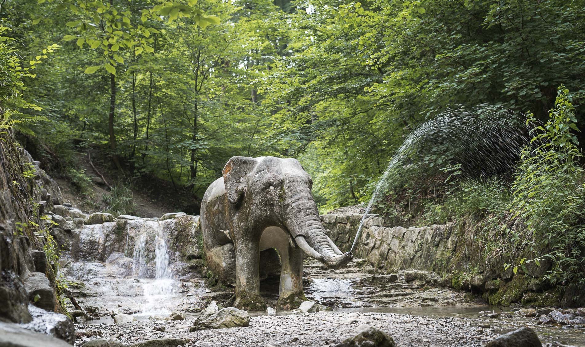
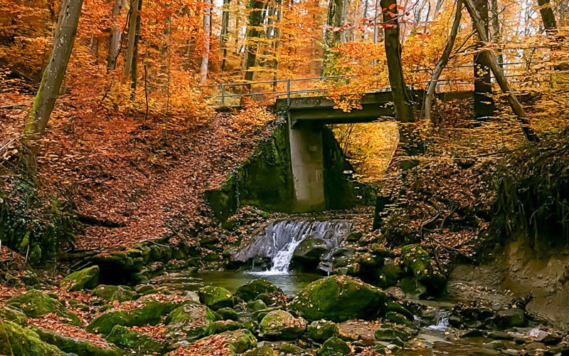
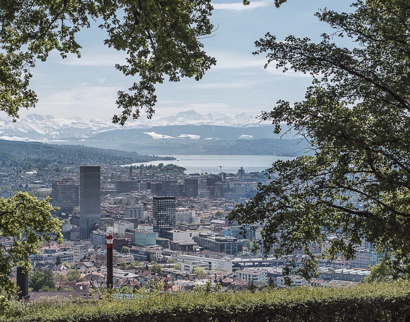
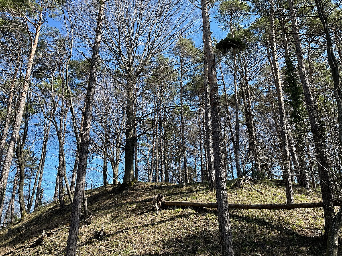
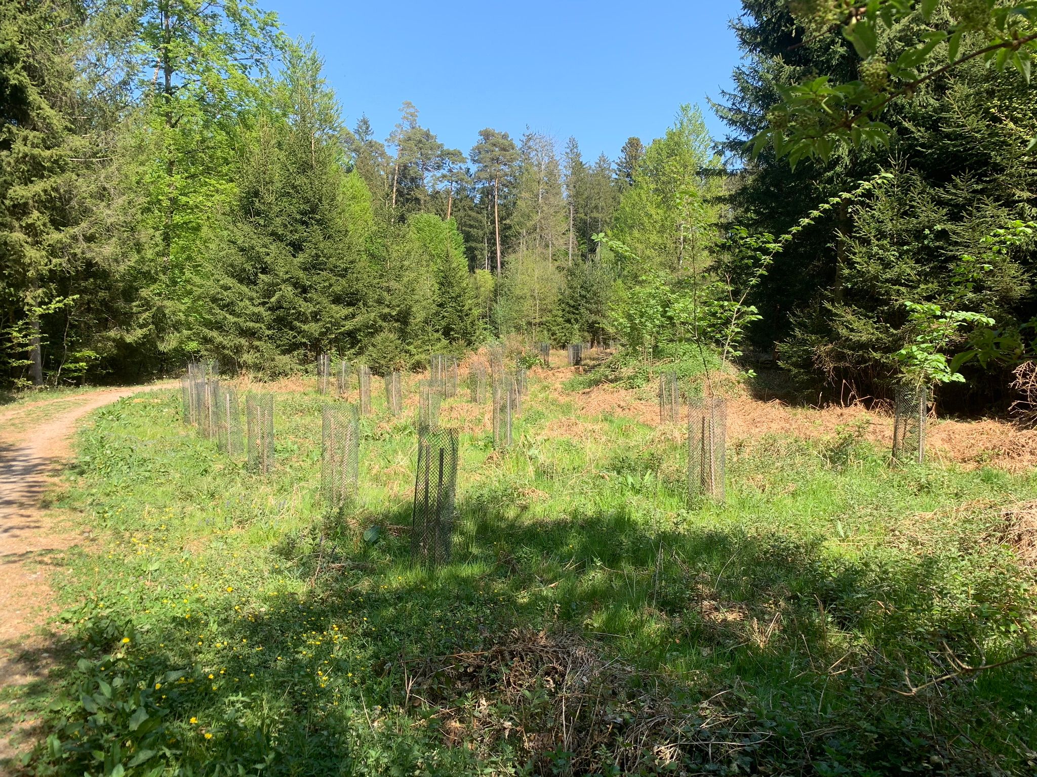
Nice little walk in the forest, near Zürich. The route makes a loop on one of the many paths and is done in a calm and pleasant natural setting. Ideal for a family outing.

Already more than 200,000 users!
Uphill
116m
Highest point
511m
Downhill
116m
Lowest point
456m
Route type
Loop
Download the map on your smartphone to save battery and rest assured to always keep access to the route, even without signal.
Includes IGN France and Swisstopo.
I indicate whether dogs are allowed or prohibited on this trail
All year
0 ratings
Also enjoy:

Already more than 200,000 users!