Uphill
507m
Length
9km
Duration
4h
Elev gain
507m
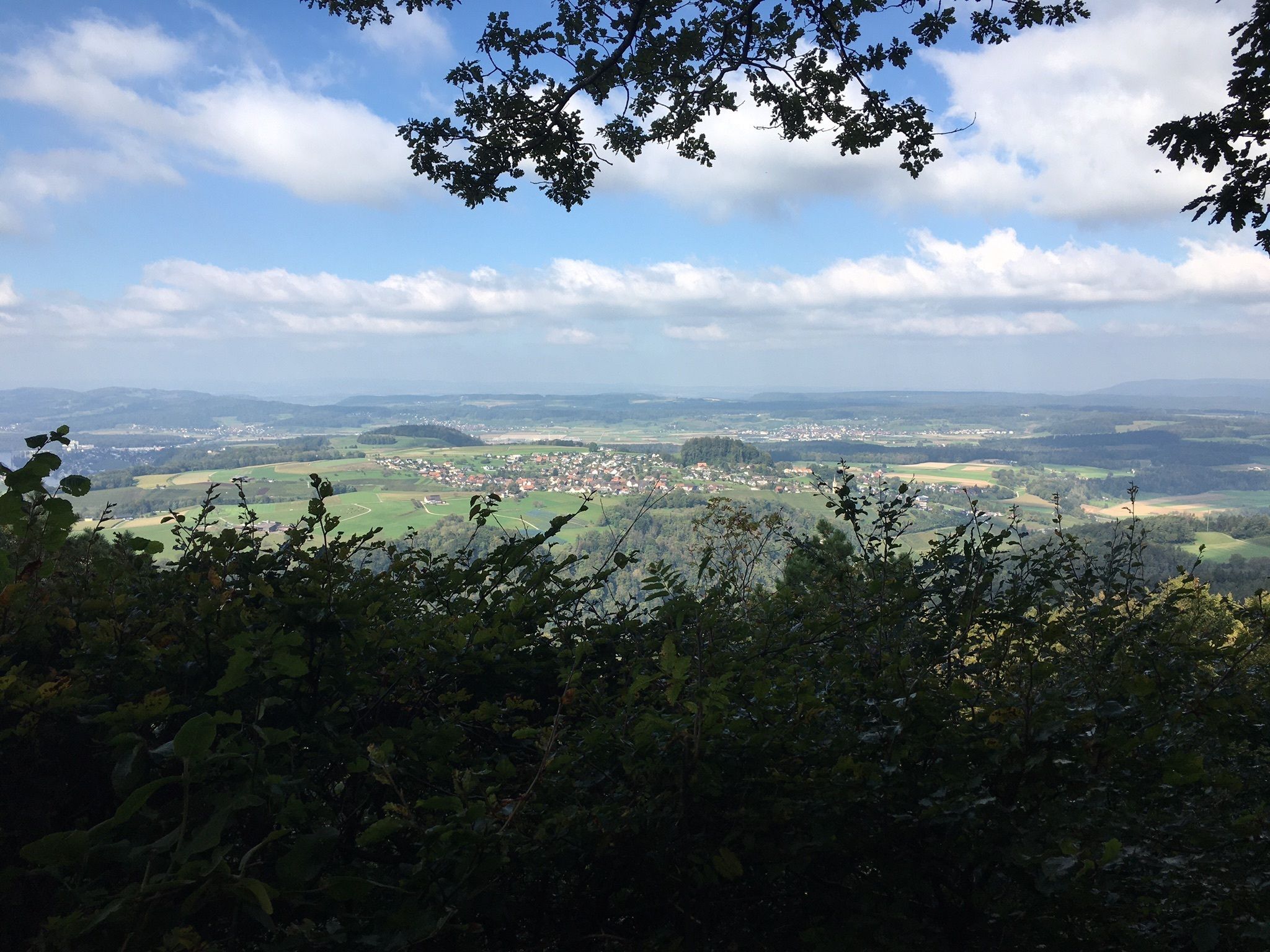
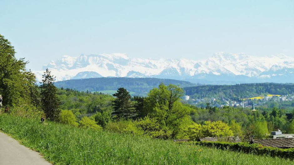
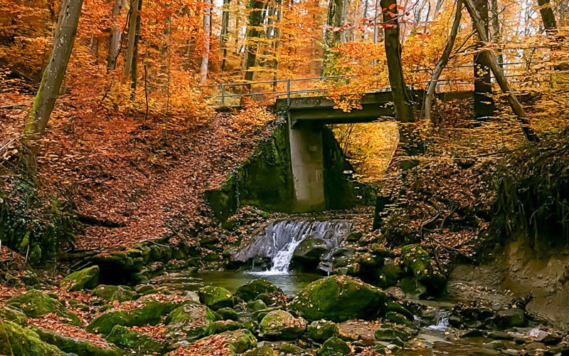
This route makes a loop in a calm and pleasant nature, on a hilly path offering pretty views of the surroundings.

Already more than 200,000 users!
Uphill
507m
Highest point
658m
Downhill
507m
Lowest point
431m
Route type
Loop
Download the map on your smartphone to save battery and rest assured to always keep access to the route, even without signal.
Includes IGN France and Swisstopo.
I indicate whether dogs are allowed or prohibited on this trail
All year
0 ratings
Also enjoy:

Already more than 200,000 users!