Uphill
226m
Length
7km
Duration
2h30min
Elev gain
226m
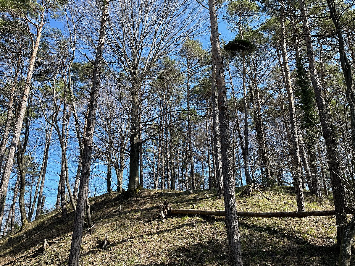
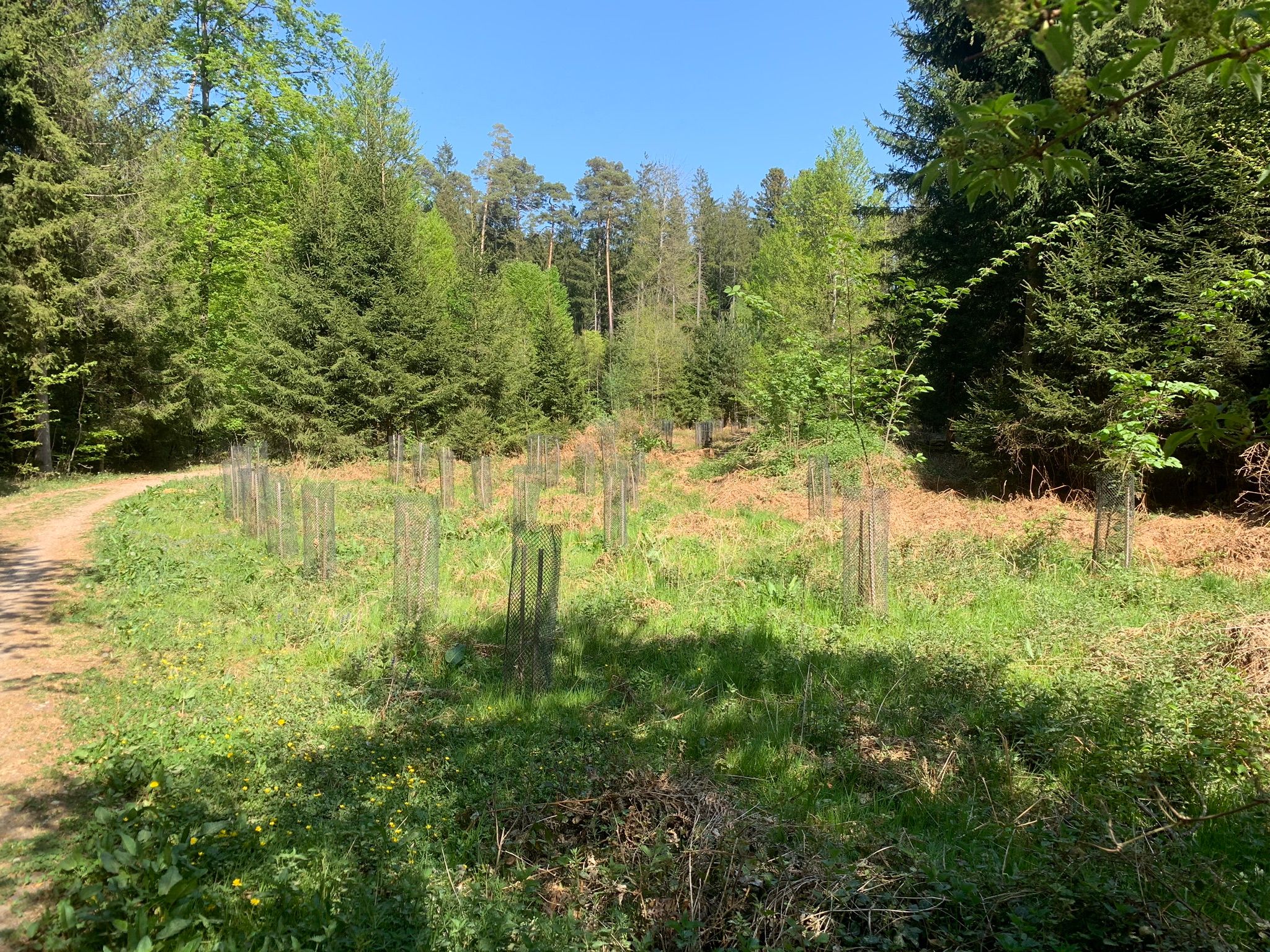
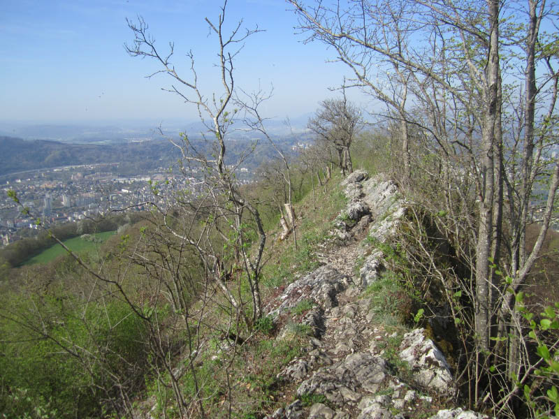
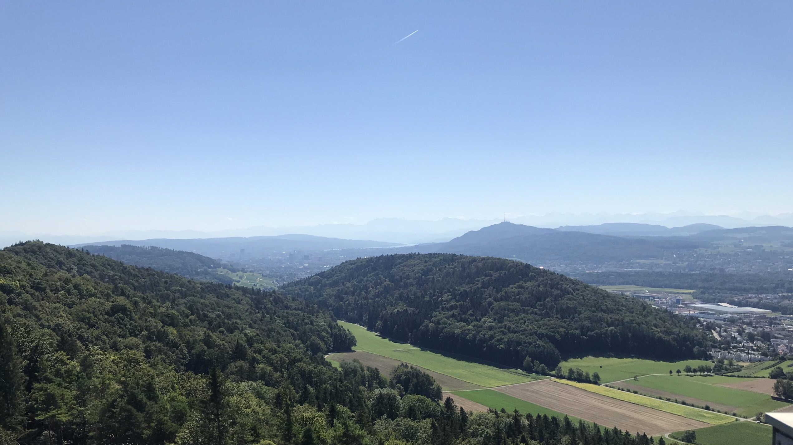
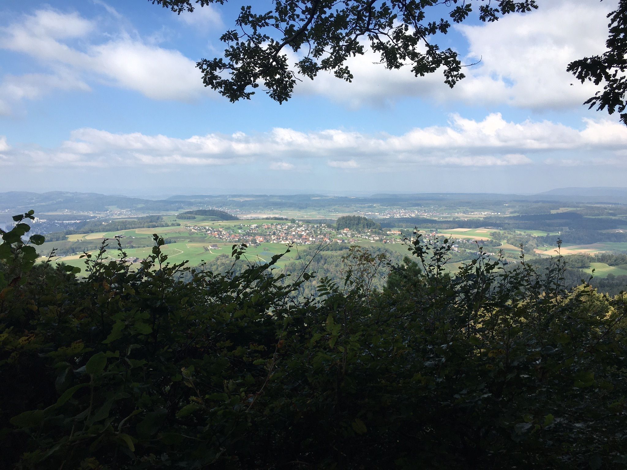
Here is a nice loop walk on the heights of Teufen, near Zürich. The route follows a hilly path, mainly in the forest, which in places offers pretty views of the surroundings.

Already more than 200,000 users!
Uphill
226m
Highest point
702m
Downhill
226m
Lowest point
529m
Route type
Loop
Download the map on your smartphone to save battery and rest assured to always keep access to the route, even without signal.
Includes IGN France and Swisstopo.
I indicate whether dogs are allowed or prohibited on this trail
All year
0 ratings
Also enjoy:

Already more than 200,000 users!