Uphill
539m
Length
13km
Duration
4h30min
Elev gain
539m
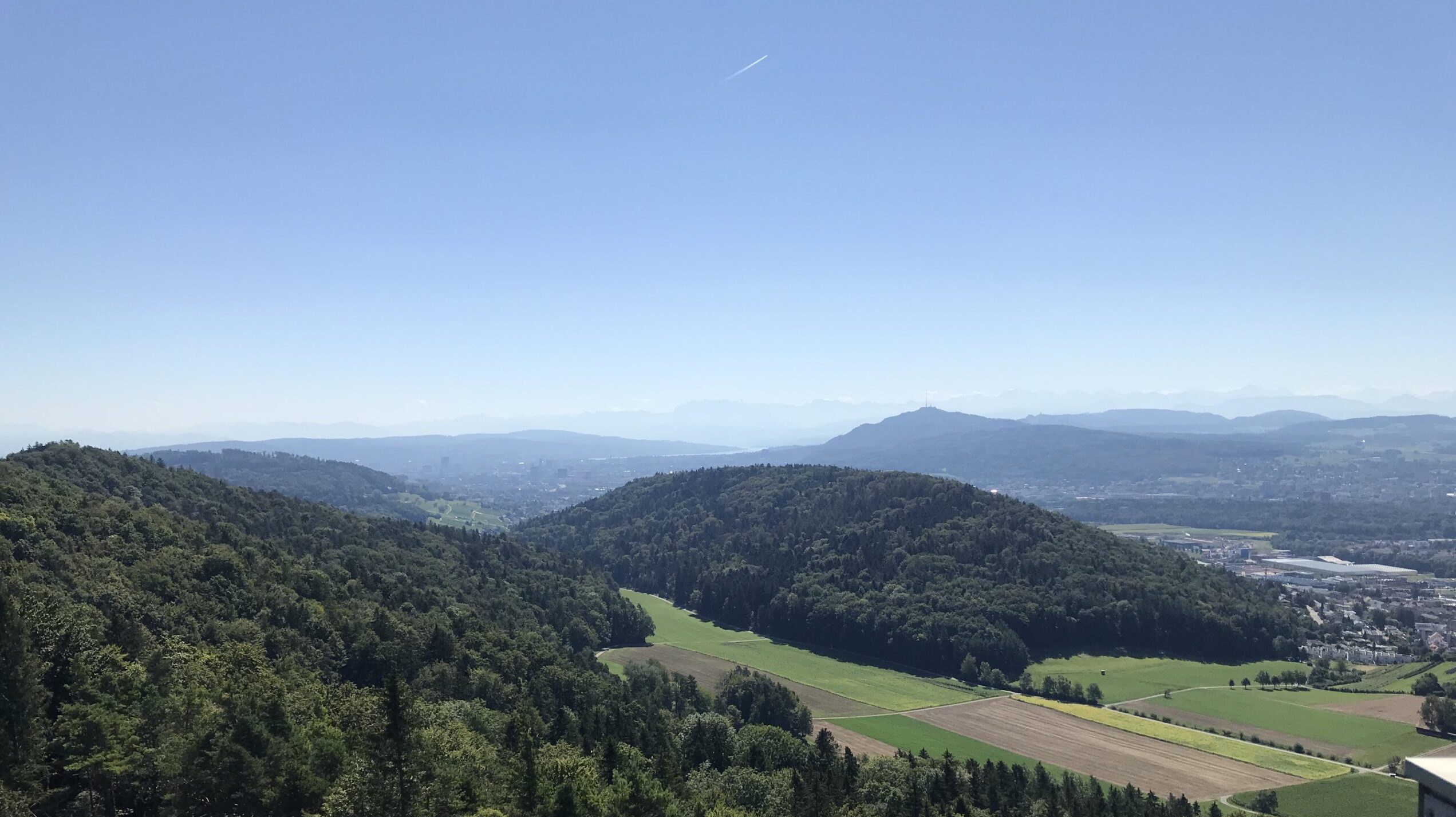
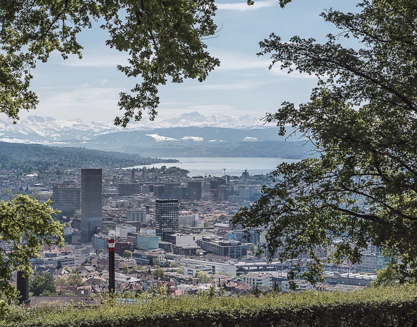
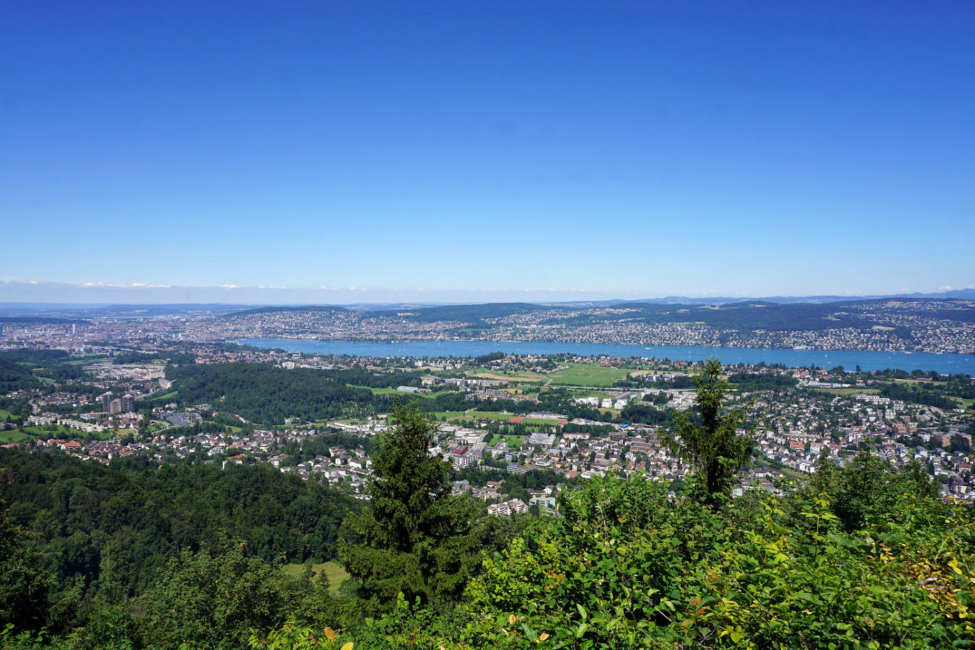
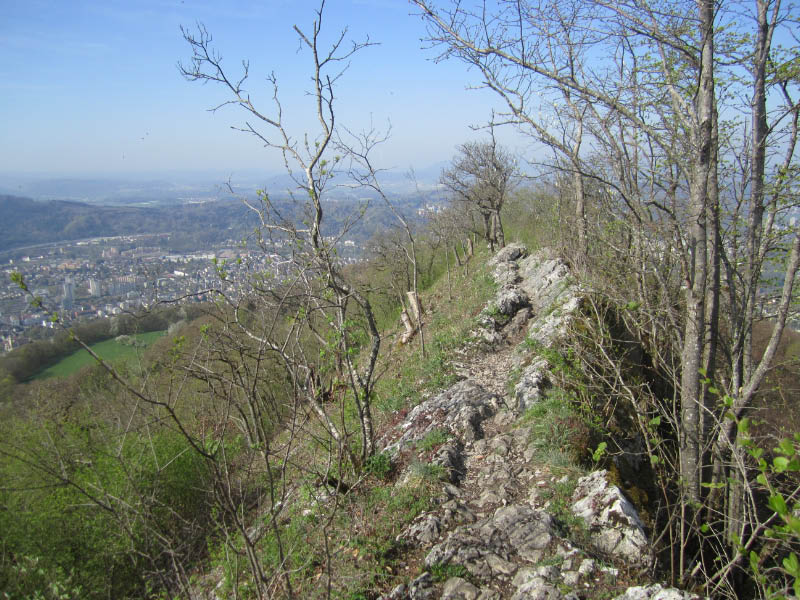
Nice walk from station to station, between Dielsdorf and Baden. The route follows pretty paths, one of which passes over a narrow ridge, offering superb views of the surroundings. Also note that a restaurant is located at the Hochwacht summit, ideal for a quick snack break.

Already more than 200,000 users!
Uphill
539m
Highest point
867m
Downhill
588m
Lowest point
358m
Route type
One way
Download the map on your smartphone to save battery and rest assured to always keep access to the route, even without signal.
Includes IGN France and Swisstopo.
I indicate whether dogs are allowed or prohibited on this trail
All year
0 ratings
Also enjoy:

Already more than 200,000 users!