Uphill
116m
Length
5km
Duration
1h30min
Elev gain
116m
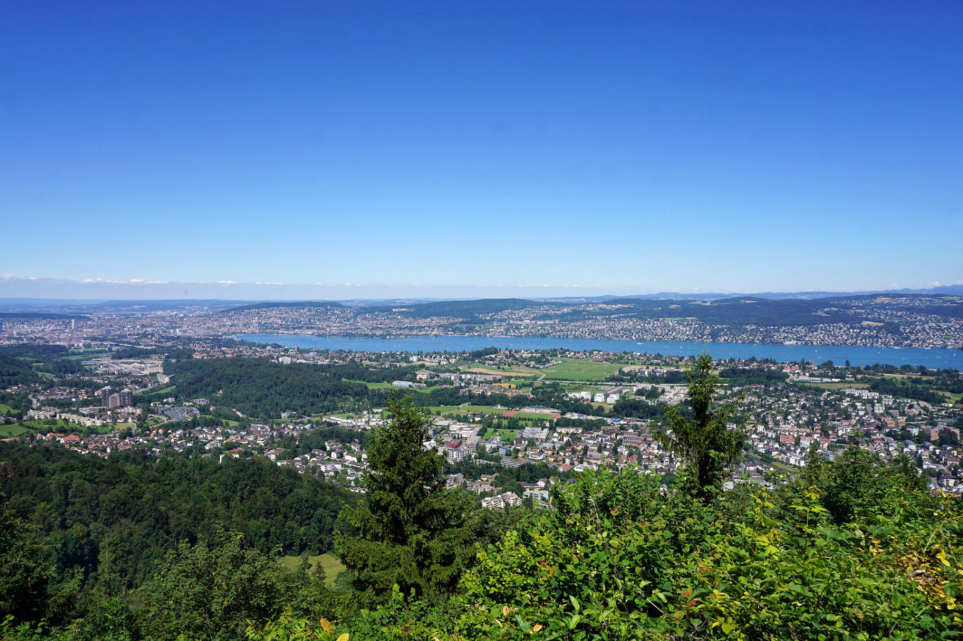
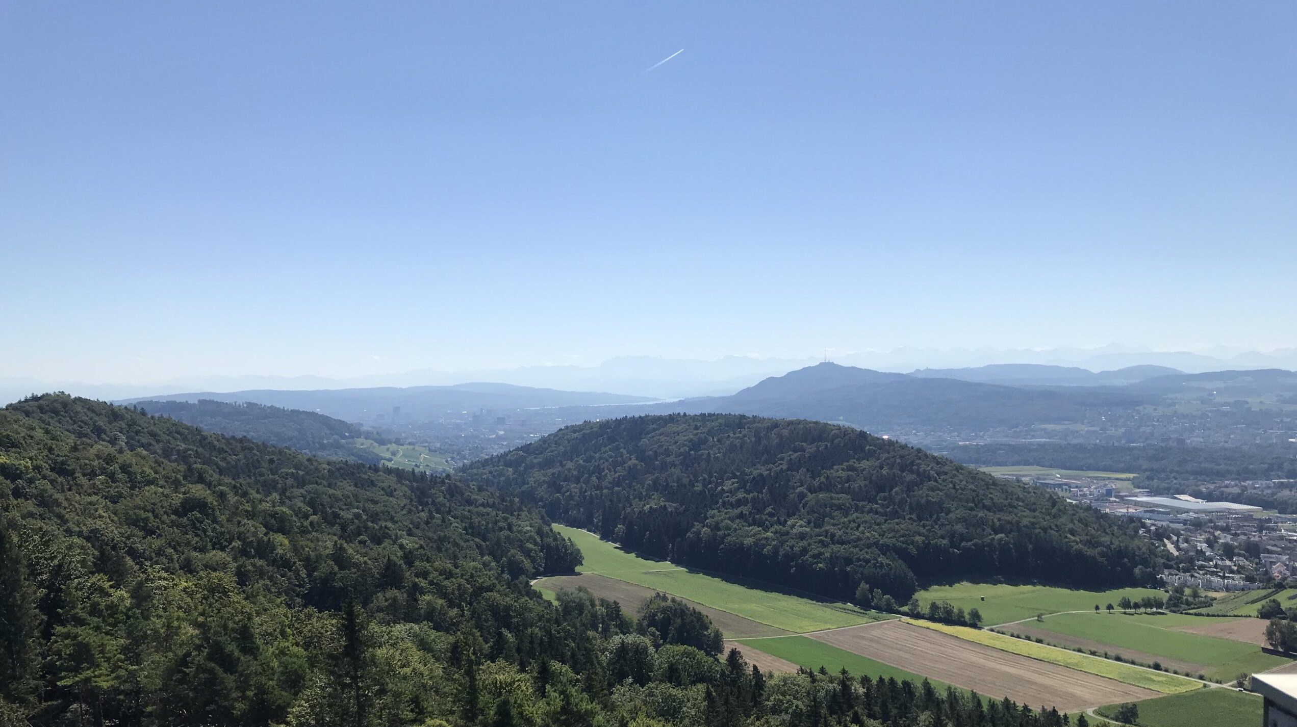
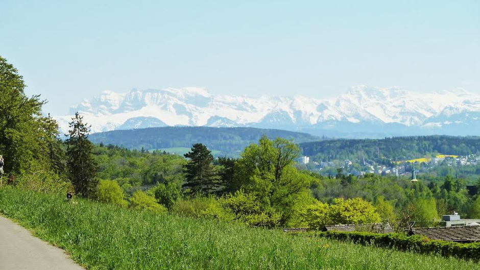
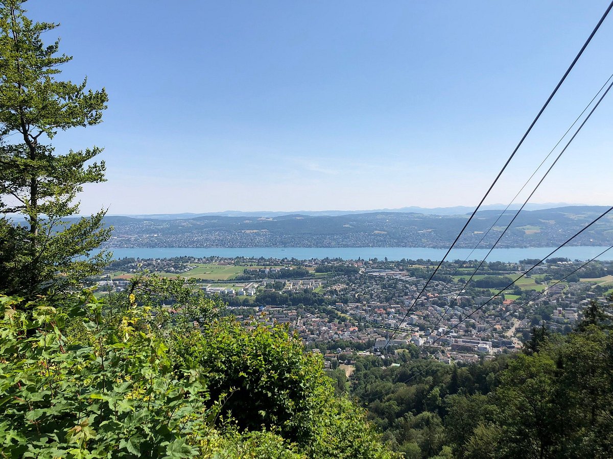
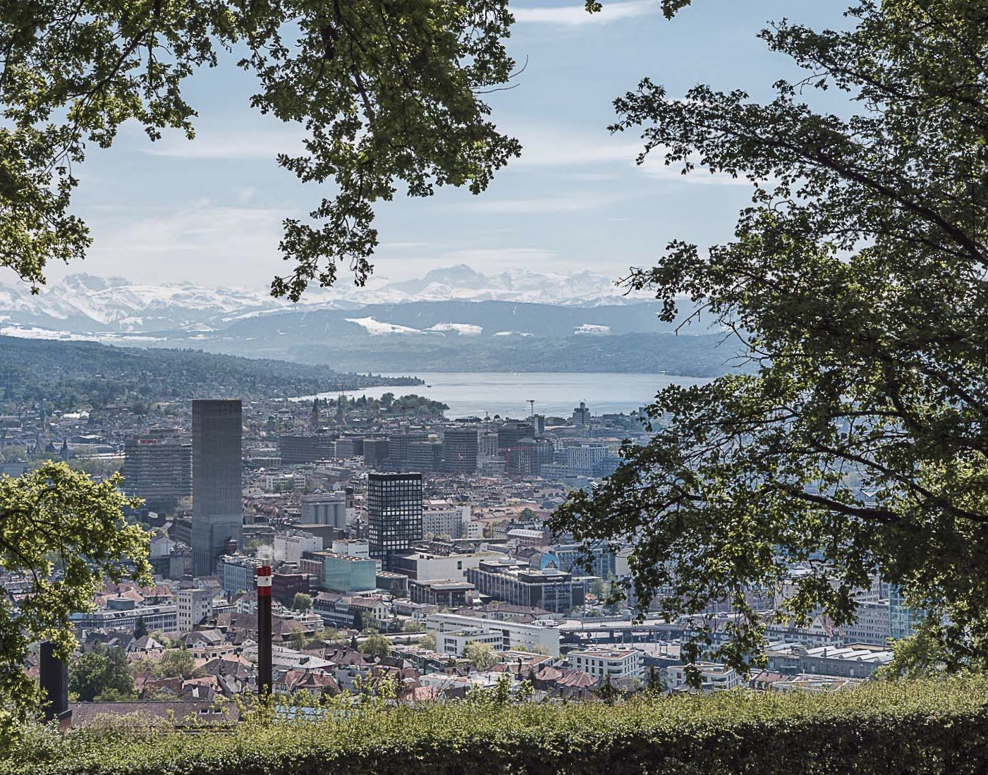
Departing from the car park at the Waid belvedere, this route makes a loop in beautiful nature. Between forest, animal park, reservoir and other attractions, the route notably passes through the Chäferberg and offers beautiful views of Lake Zürich.

Already more than 200,000 users!
Uphill
116m
Highest point
593m
Downhill
116m
Lowest point
526m
Route type
Loop
Download the map on your smartphone to save battery and rest assured to always keep access to the route, even without signal.
Includes IGN France and Swisstopo.
I indicate whether dogs are allowed or prohibited on this trail
All year
0 ratings
Also enjoy:

Already more than 200,000 users!