Uphill
295m
Length
11km
Duration
3h30min
Elev gain
295m
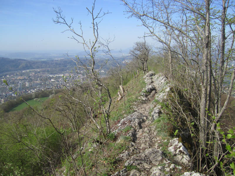
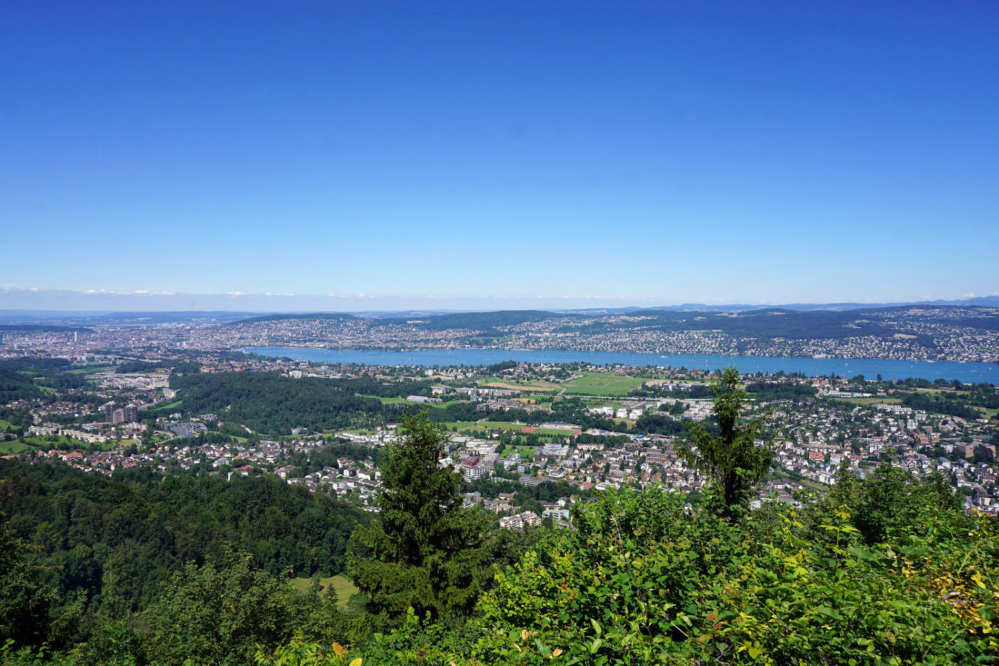
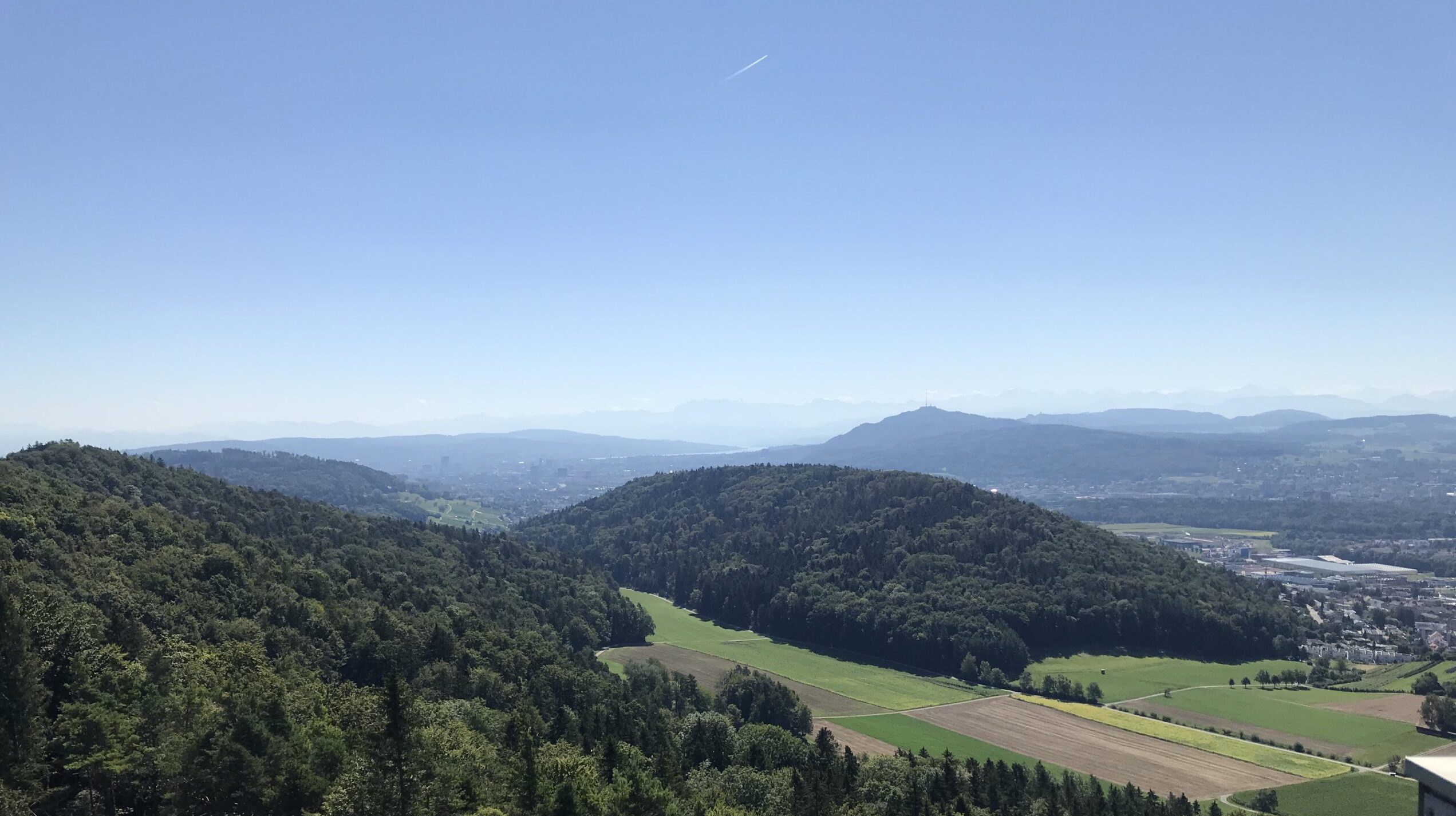
Leaving from Regensdorf, this pretty hike leads to the Altberg and its famous observation tower. 34 meters high, this tower offers a superb view of the surroundings.

Already more than 200,000 users!
Uphill
295m
Highest point
651m
Downhill
295m
Lowest point
440m
Route type
Loop
Download the map on your smartphone to save battery and rest assured to always keep access to the route, even without signal.
Includes IGN France and Swisstopo.
I indicate whether dogs are allowed or prohibited on this trail
All year
1 rating
Also enjoy:

Already more than 200,000 users!