Uphill
184m
Length
7km
Duration
2h
Elev gain
184m
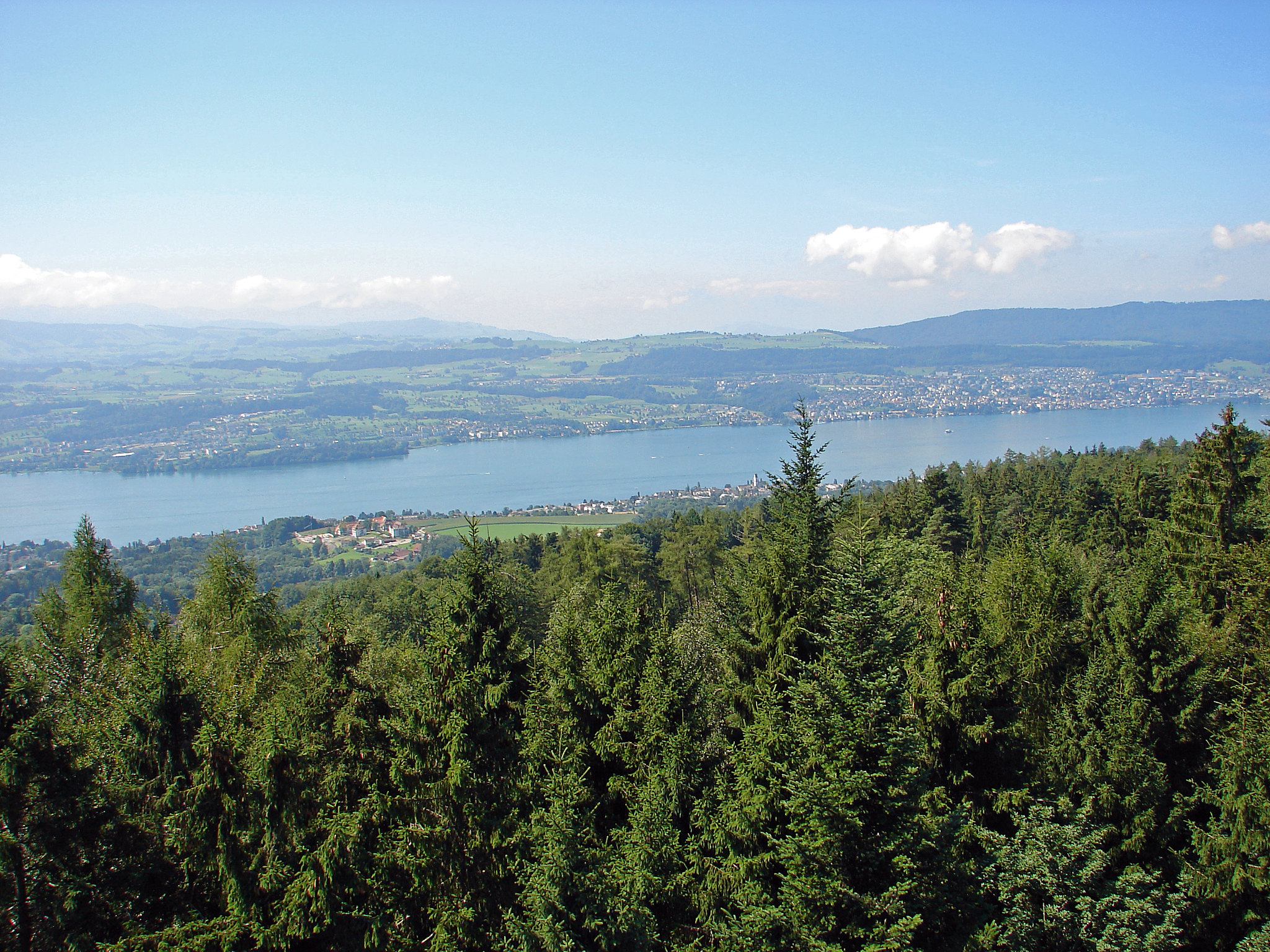
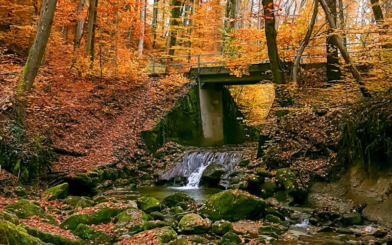
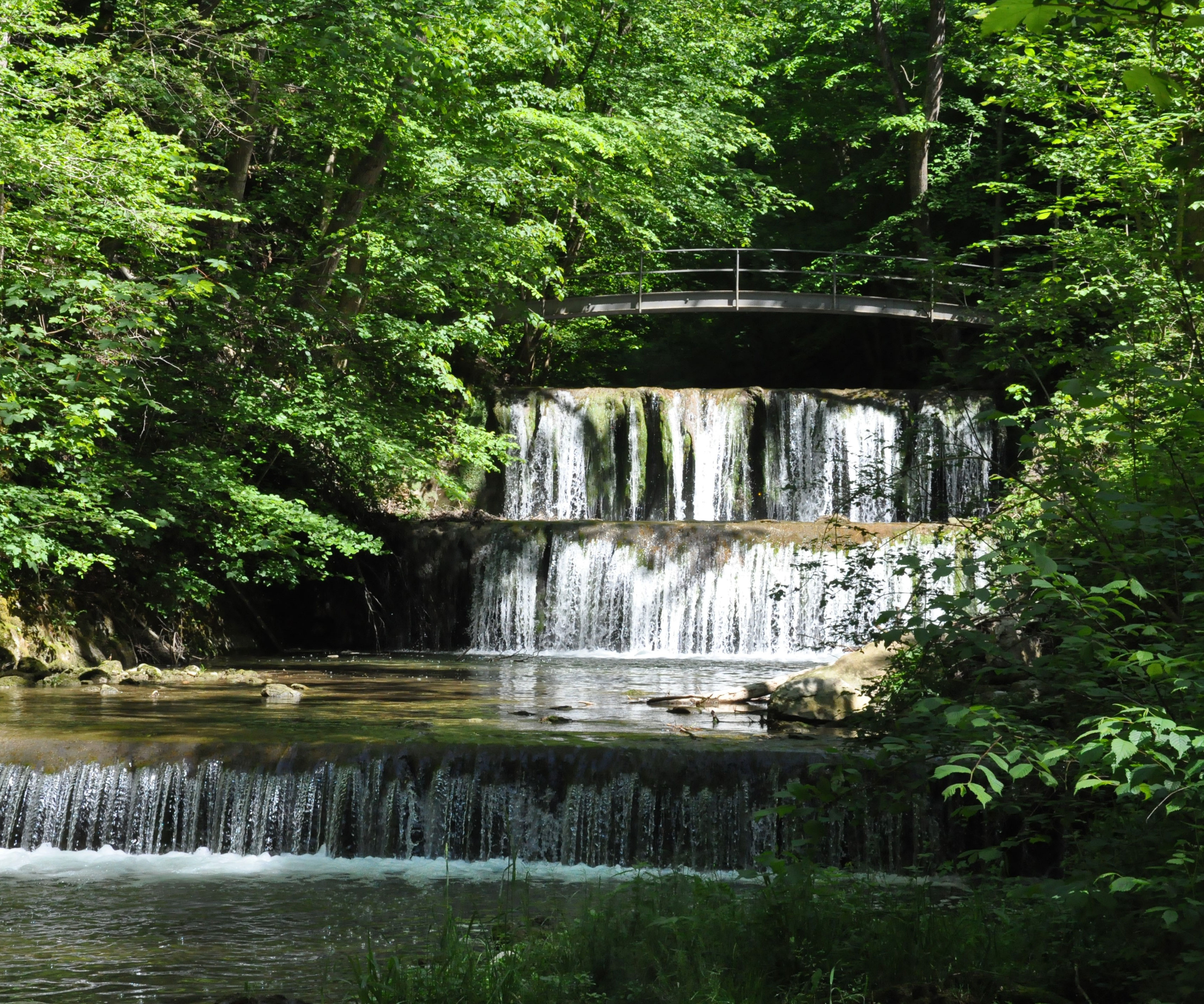
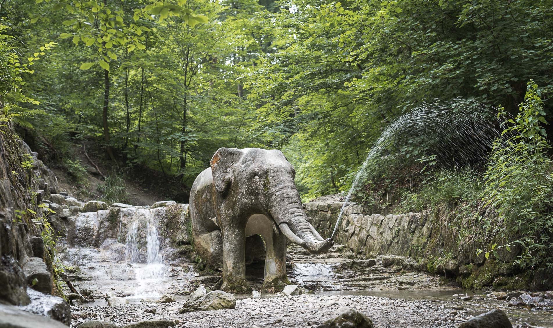
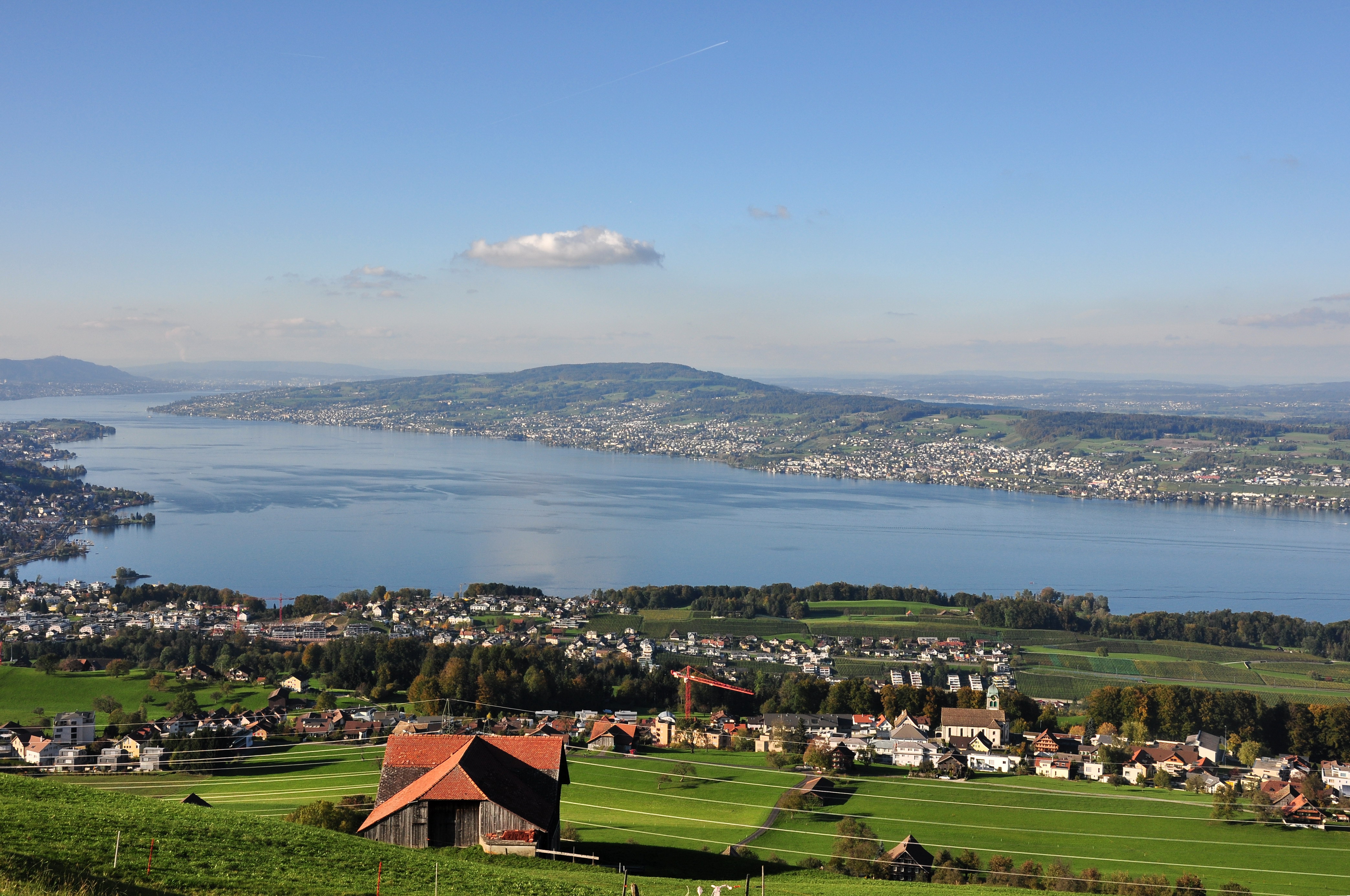
Starting from the Hochwacht restaurant, this hike is done on the Pfannenstiel, a mountain ridge located between Lake Zurich and Lake Greifensee. The route is mainly in the forest but still offers superb views of Lake Zurich and the Zurich Oberland.

Already more than 200,000 users!
Uphill
184m
Highest point
866m
Downhill
184m
Lowest point
765m
Route type
Loop
Download the map on your smartphone to save battery and rest assured to always keep access to the route, even without signal.
Includes IGN France and Swisstopo.
I indicate whether dogs are allowed or prohibited on this trail
All year
0 ratings
Also enjoy:

Already more than 200,000 users!