Uphill
786m
Length
14km
Duration
6h
Elev gain
786m
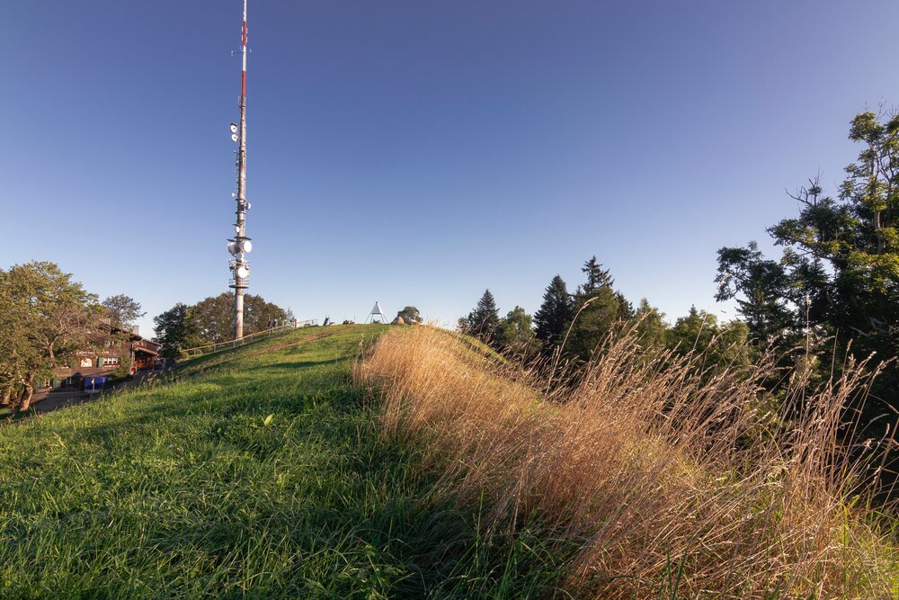
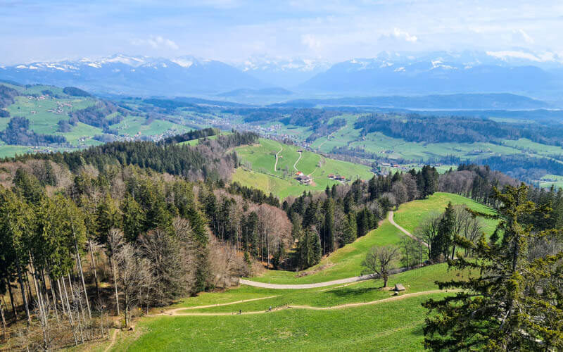
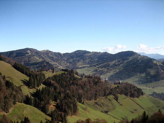
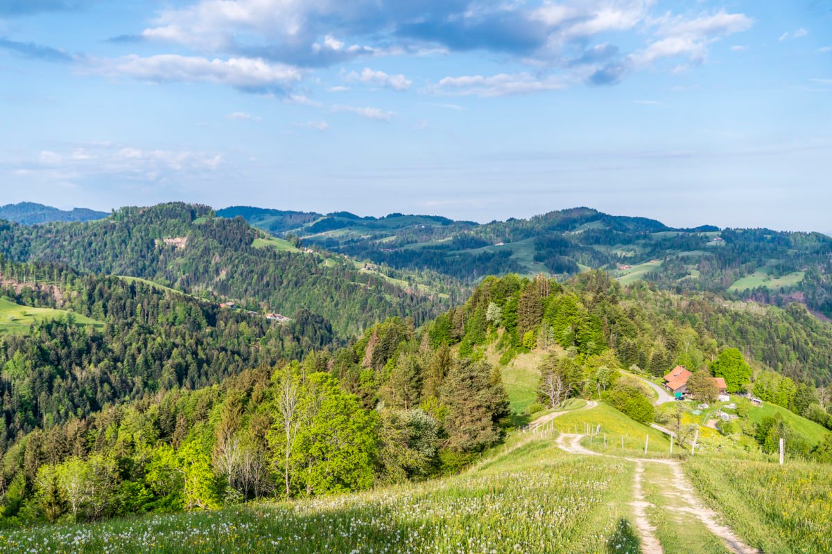
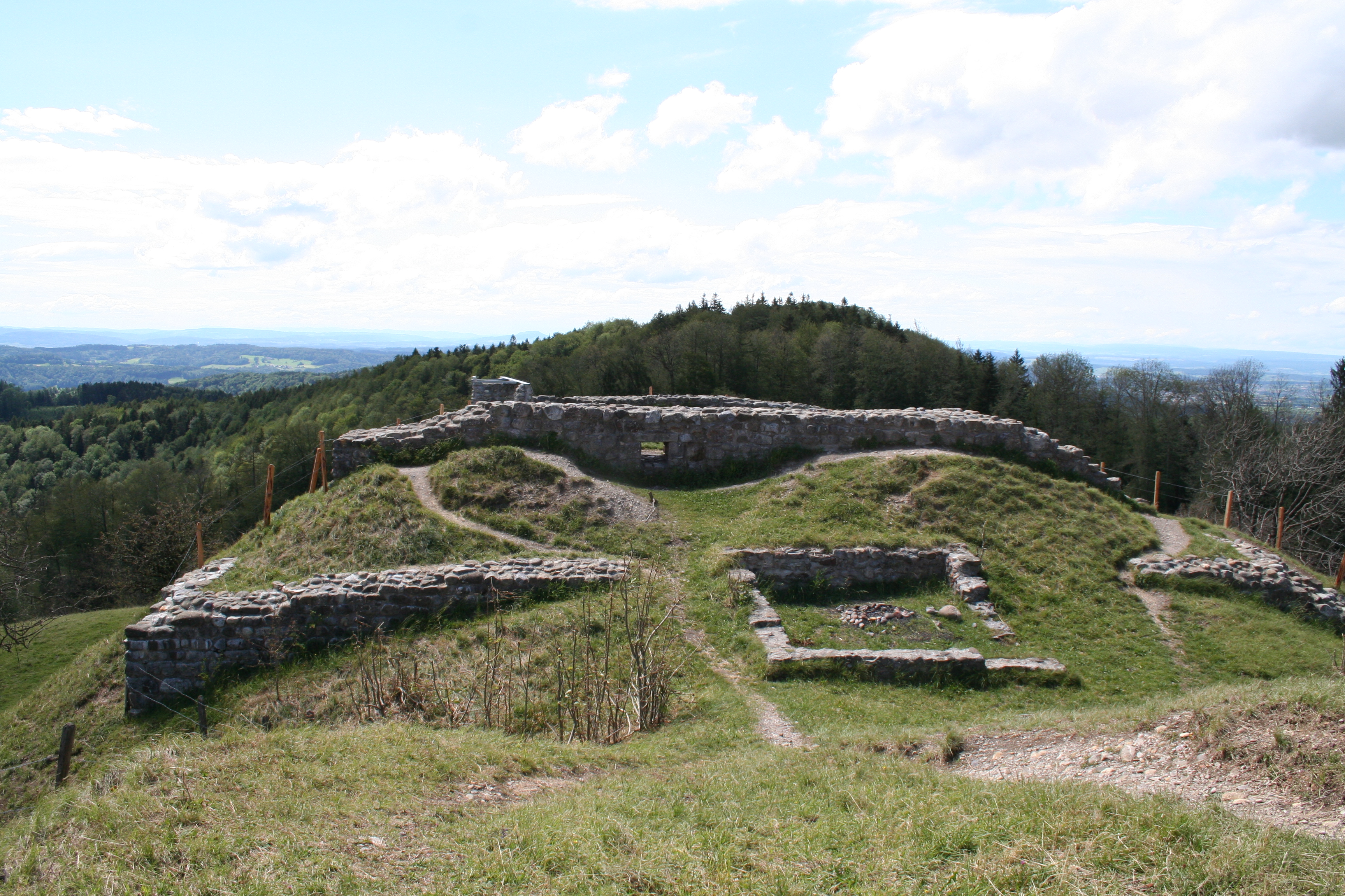
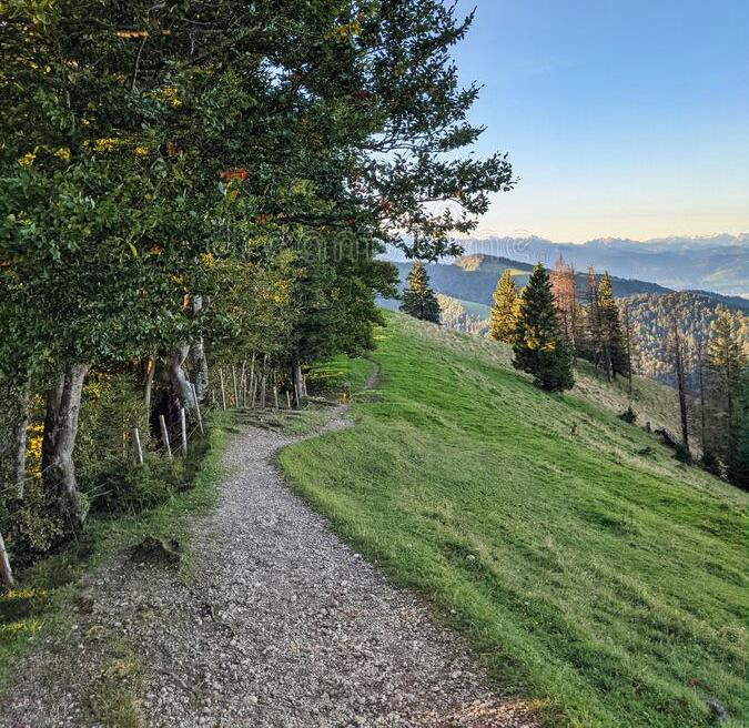
Departing from Steg, this hike leads to the Schnebelhorn, the highest mountain in the canton of Zürich, located in the Töss valley. Before reaching the highest point of the hike, the trail passes by other small peaks such as Chatzenböl and Hirzegg, alternating between alpine meadows and forests. Once at the top, at 1,292 meters, the panoramic view is fabulous. You then have to go down another path to make a loop.

Already more than 200,000 users!
Uphill
786m
Highest point
1264m
Downhill
786m
Lowest point
706m
Route type
Loop
Download the map on your smartphone to save battery and rest assured to always keep access to the route, even without signal.
Includes IGN France and Swisstopo.
I indicate whether dogs are allowed or prohibited on this trail
Can be difficult in Winter
0 ratings
Also enjoy:

Already more than 200,000 users!