Uphill
377m
Length
8km
Duration
3h
Elev gain
377m
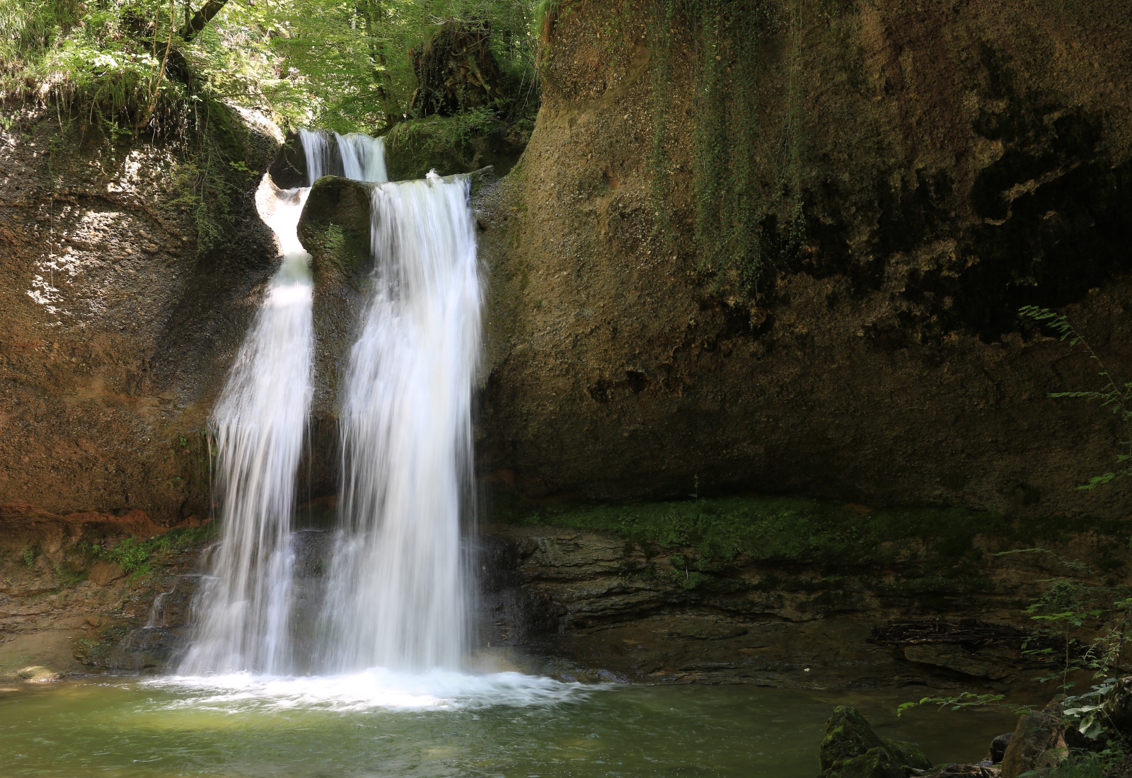
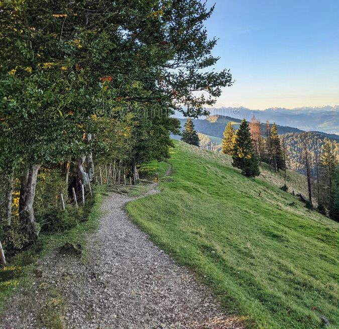
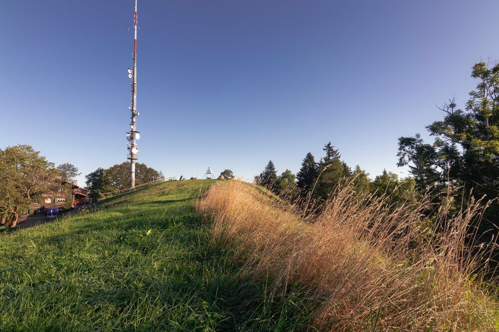
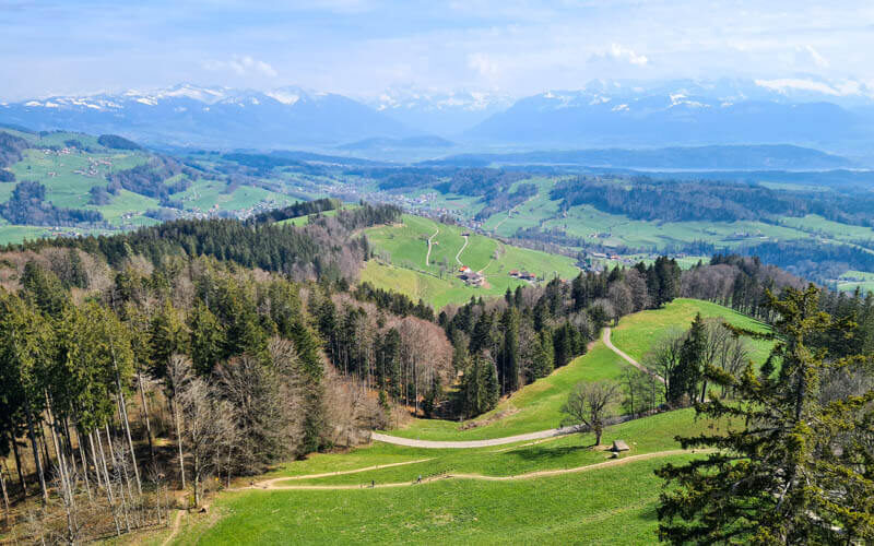
From Girenbad, this route makes a nice loop on the heights of the town. The path notably passes through the Auenberg, located at an altitude of 1,050 metres, then joins Bachtel, where there is a 75-metre high tower and a restaurant.

Already more than 200,000 users!
Uphill
377m
Highest point
1110m
Downhill
377m
Lowest point
778m
Route type
Loop
Download the map on your smartphone to save battery and rest assured to always keep access to the route, even without signal.
Includes IGN France and Swisstopo.
I indicate whether dogs are allowed or prohibited on this trail
Can be difficult in Winter
1 rating
I was running on this trial, very beautiful place, I recommend this trial everybody who leaves near Hinwil.
Also enjoy:

Already more than 200,000 users!