Uphill
94m
Length
9km
Duration
2h30min
Elev gain
94m
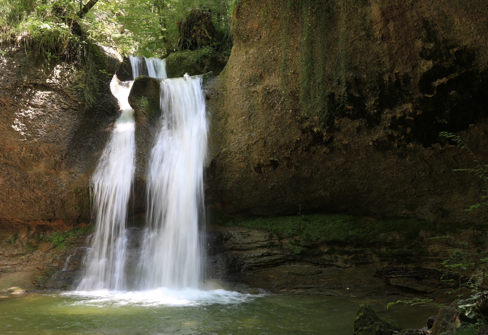
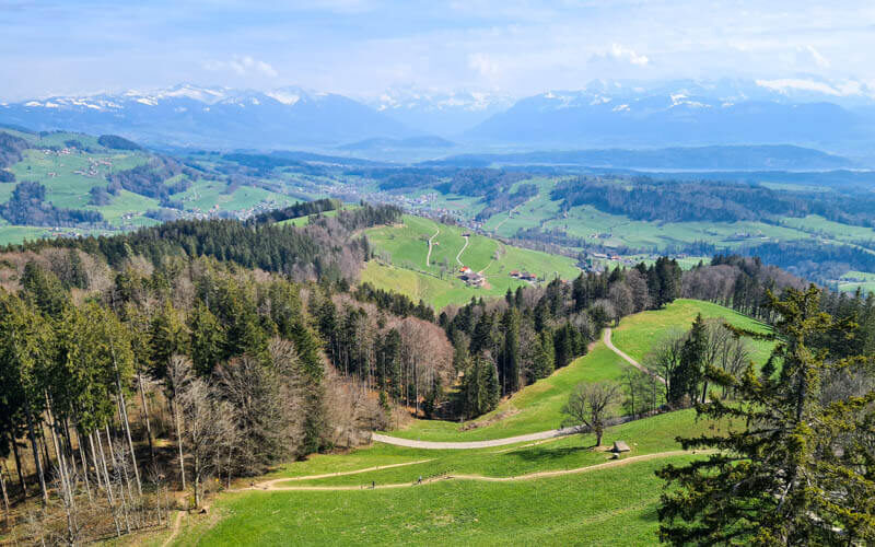
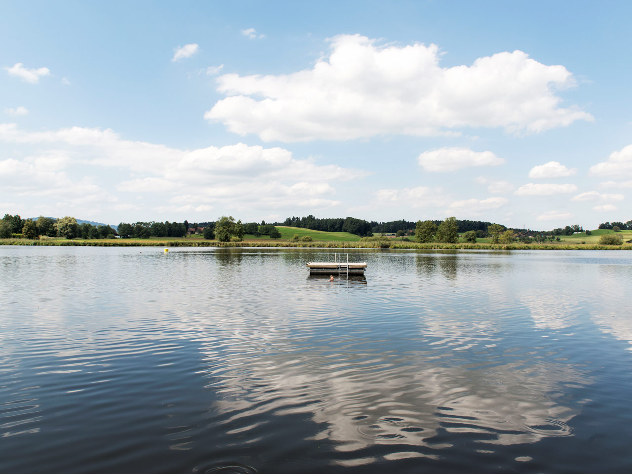
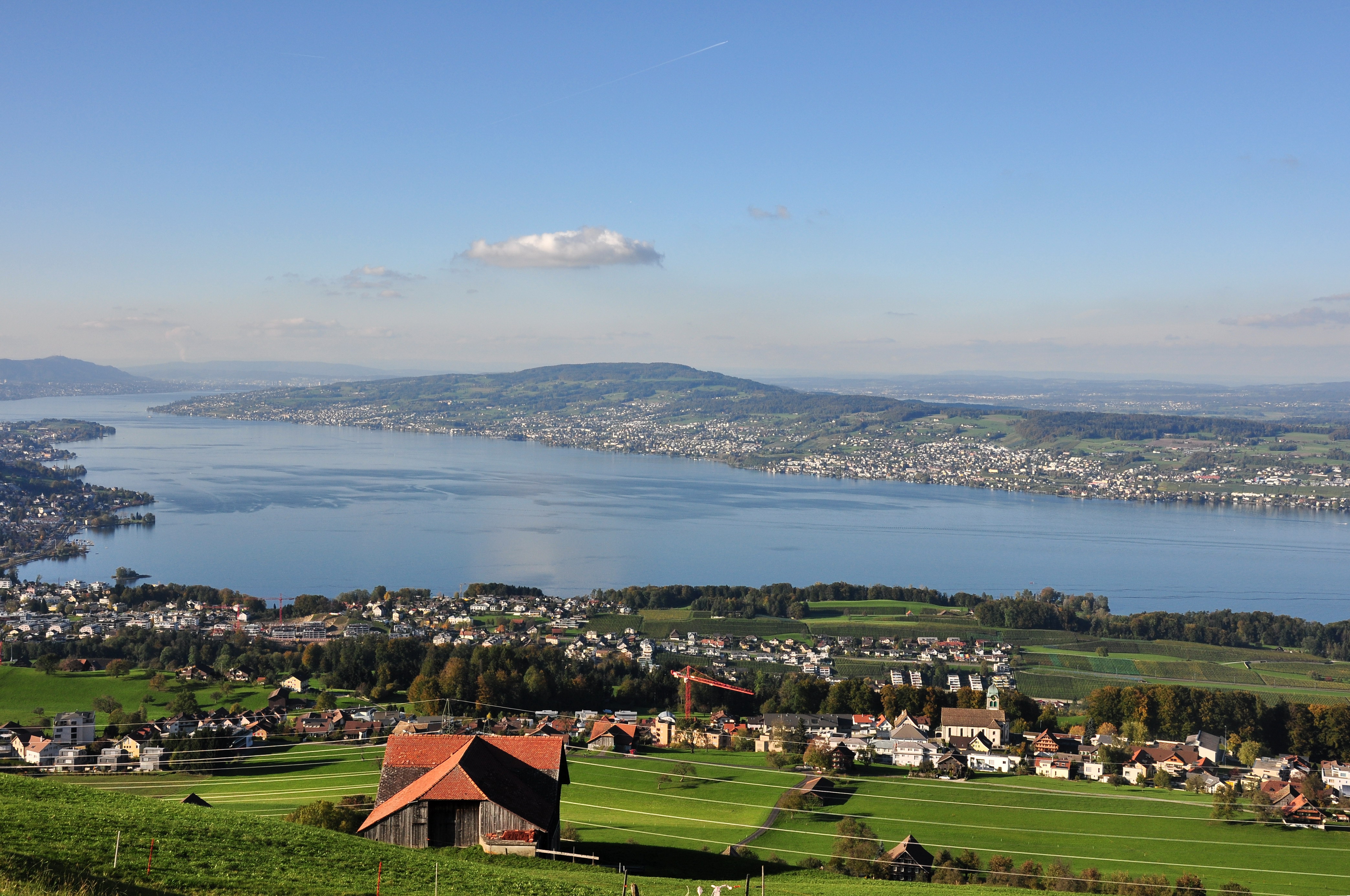
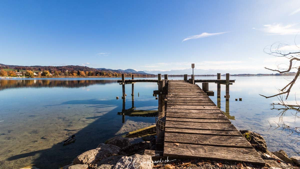
Nice little walk in the Zurich countryside. The route loops around Lake Pfäffikon on flat, groomed trails with great views of the surrounding area. During the summer season, it is obviously possible to take a dip!

Already more than 200,000 users!
Uphill
94m
Highest point
563m
Downhill
94m
Lowest point
527m
Route type
Loop
Download the map on your smartphone to save battery and rest assured to always keep access to the route, even without signal.
Includes IGN France and Swisstopo.
I indicate whether dogs are allowed or prohibited on this trail
All year
0 ratings
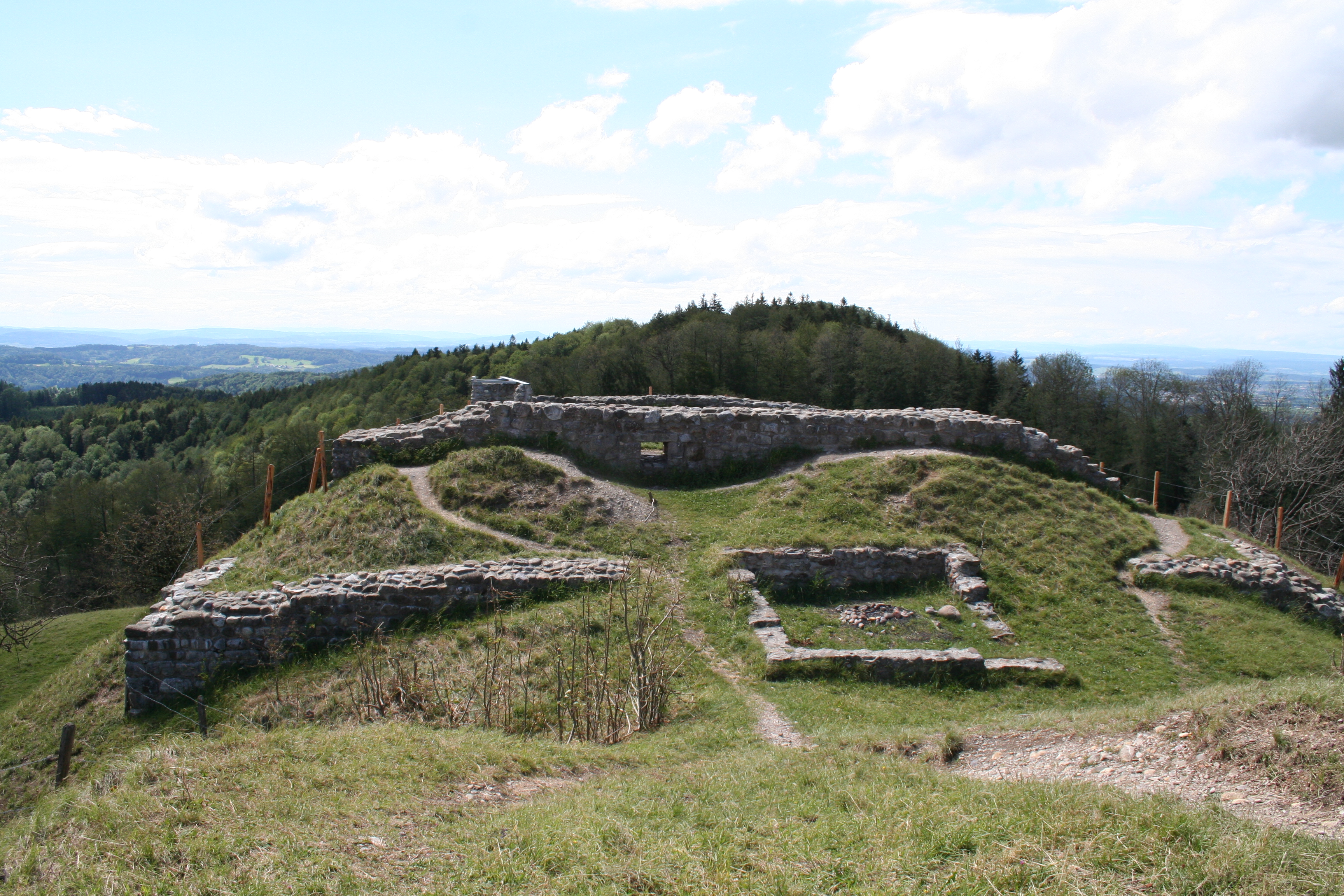
Also enjoy:

Already more than 200,000 users!