Uphill
545m
Length
4km
Duration
3h30min
Elev gain
545m
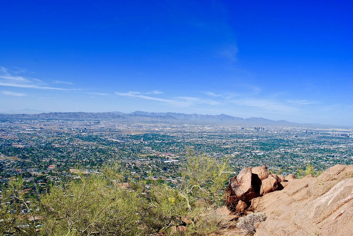
This is a great there-and-back hike to the top of Camelback Mountain right on the edge of Phoenix, Arizona. The trail begins by following the Echo Canyon Trail, a moderate and narrow footpath with an uphill incline. The conditions can be challenging in the arid landscape, with its extreme heat. The city views are fantastic at the top and the walk is beautiful boasting many endemic plants to the area.

Already more than 200,000 users!
Uphill
545m
Highest point
817m
Downhill
545m
Lowest point
415m
Route type
There and back
Download the map on your smartphone to save battery and rest assured to always keep access to the route, even without signal.
Includes IGN France and Swisstopo.
I indicate whether dogs are allowed or prohibited on this trail
All year
0 ratings
Also enjoy:

Already more than 200,000 users!


