Uphill
132m
Length
6km
Duration
2h
Elev gain
132m
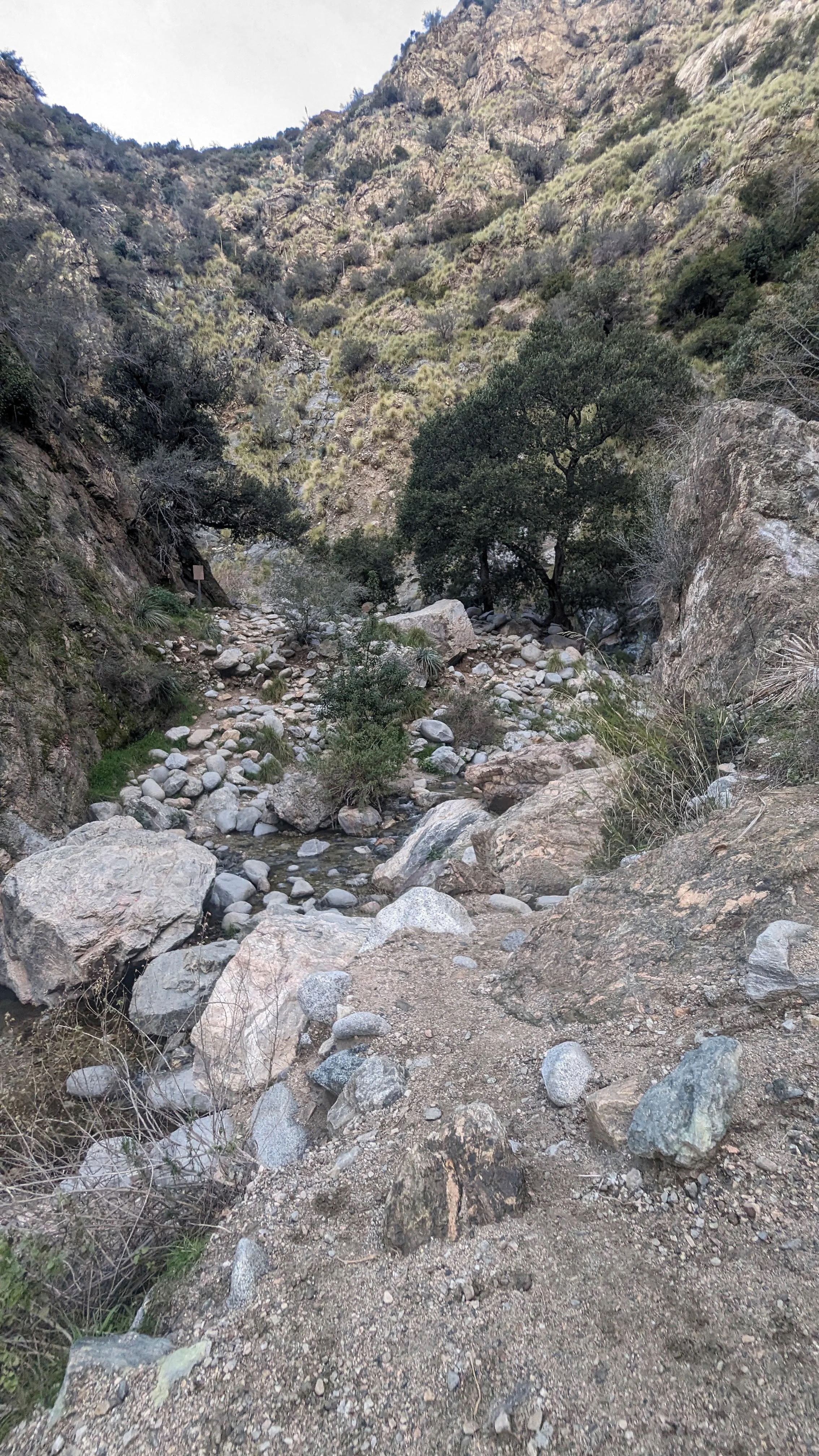
This is a great there-and-back hike along the Eaton Canyon Trail in Eaton Canyon Natural Area Park, California, leading to the Eaton Falls. The trail is moderate with a gradual and very manageable incline along a lovely trail, partially shaded and following streams along the way. This is a great option for a family trail.

Already more than 200,000 users!
Uphill
132m
Highest point
424m
Downhill
132m
Lowest point
298m
Route type
There and back
Download the map on your smartphone to save battery and rest assured to always keep access to the route, even without signal.
Includes IGN France and Swisstopo.
I indicate whether dogs are allowed or prohibited on this trail
All year
0 ratings
Also enjoy:

Already more than 200,000 users!


