Uphill
162m
Length
6km
Duration
2h
Elev gain
162m
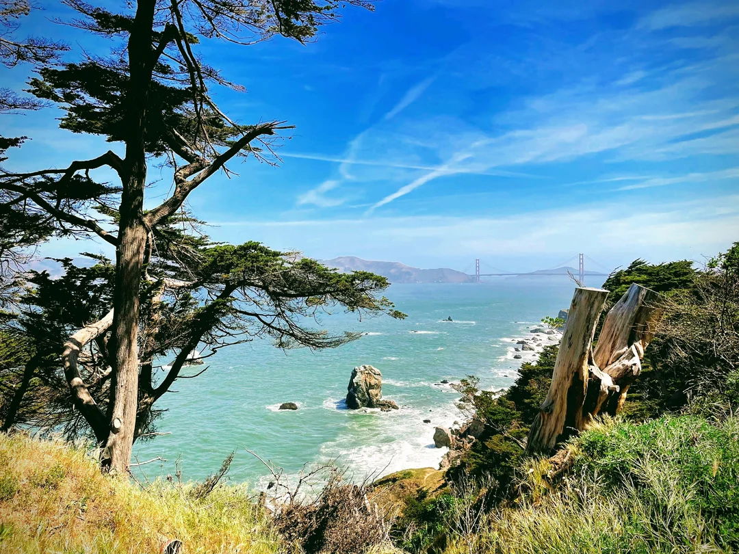
This is a great loop along the Lands End Trail in the Golden Gate National Recreation Area in San Francisco. The trail is easy and short and offers wonderful viewpoints looking over the ocean and the Golden Gate Bridge. This is a great city walk that offers very iconic vistas and is ideal for a family day out.

Already more than 200,000 users!
Uphill
162m
Highest point
110m
Downhill
162m
Lowest point
5m
Route type
Loop
Download the map on your smartphone to save battery and rest assured to always keep access to the route, even without signal.
Includes IGN France and Swisstopo.
I indicate whether dogs are allowed or prohibited on this trail
All year
0 ratings
Also enjoy:

Already more than 200,000 users!


