Uphill
651m
Length
10km
Duration
4h30min
Elev gain
651m
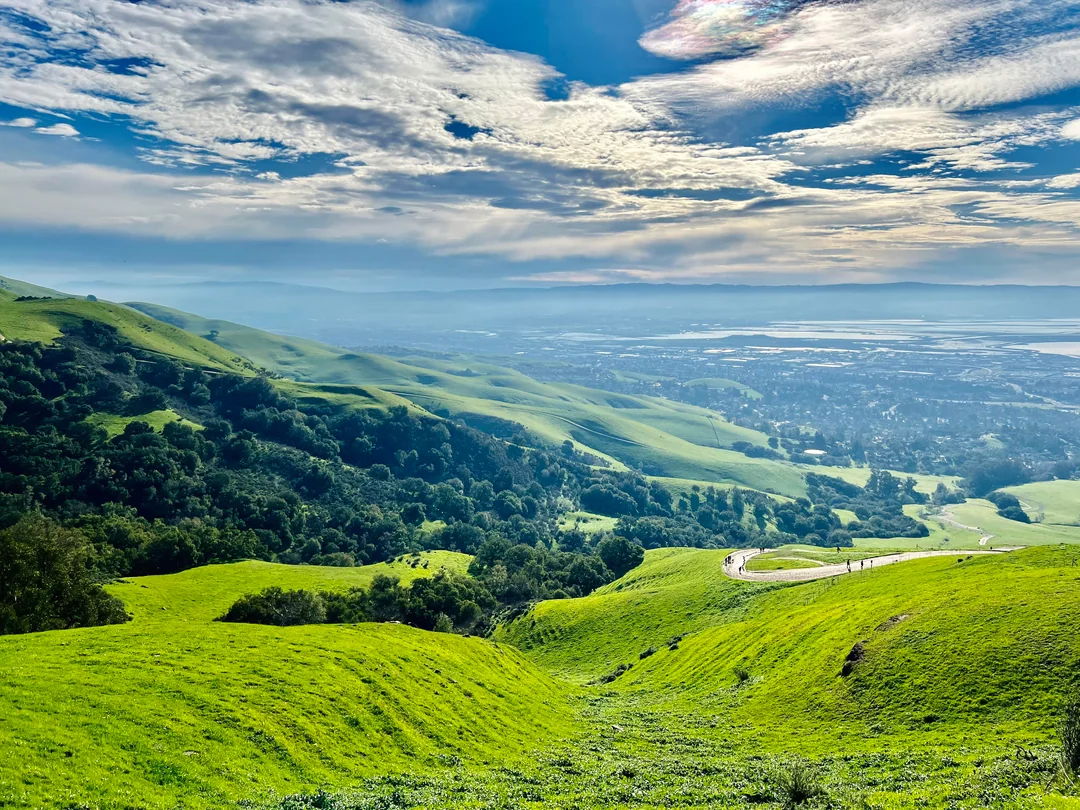
On the edge of San Jose, this is a great loop to ascend Mission Peak in the Mission Peak Regional Preserve, California. Beginning at the Stanford Avenue Staging Area, the trail is challenging as it follows a steep gradient to the top along a wide gravel track; the last section of the walk follows a rougher terrain. The views at the top are simply beautiful above the Bay Area.

Already more than 200,000 users!
Uphill
651m
Highest point
767m
Downhill
651m
Lowest point
116m
Route type
Loop
Download the map on your smartphone to save battery and rest assured to always keep access to the route, even without signal.
Includes IGN France and Swisstopo.
I indicate whether dogs are allowed or prohibited on this trail
All year
0 ratings
Also enjoy:

Already more than 200,000 users!


