Uphill
975m
Length
18km
Duration
7h30min
Elev gain
975m
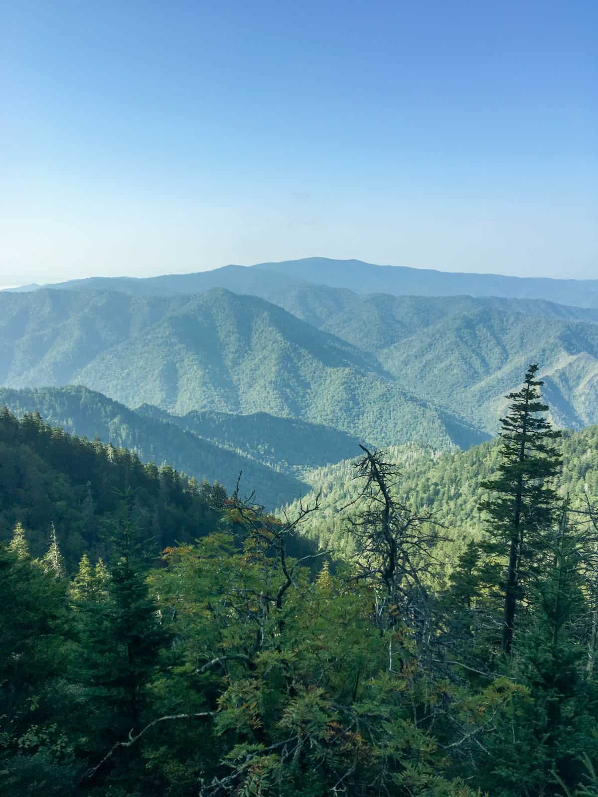
This is a beautiful yet difficult there-and-back hike to ascend Mount LeConte along the Alum Cave trail in the Great Smoky Mountains National Park, Tennessee. The trail is challenging but well maintained with a consistent uphill on the way and more than 900 meters of elevation gain. The views on the way are great and varied with interesting rock formation, creeks, open vistas and vibrant vegetation. This hike can be quite busy as it is one of the most popular in the area.

Already more than 200,000 users!
Uphill
975m
Highest point
2009m
Downhill
975m
Lowest point
1174m
Route type
There and back
Download the map on your smartphone to save battery and rest assured to always keep access to the route, even without signal.
Includes IGN France and Swisstopo.
I indicate whether dogs are allowed or prohibited on this trail
All year
0 ratings
Also enjoy:

Already more than 200,000 users!