Uphill
116m
Length
4km
Duration
1h30min
Elev gain
116m
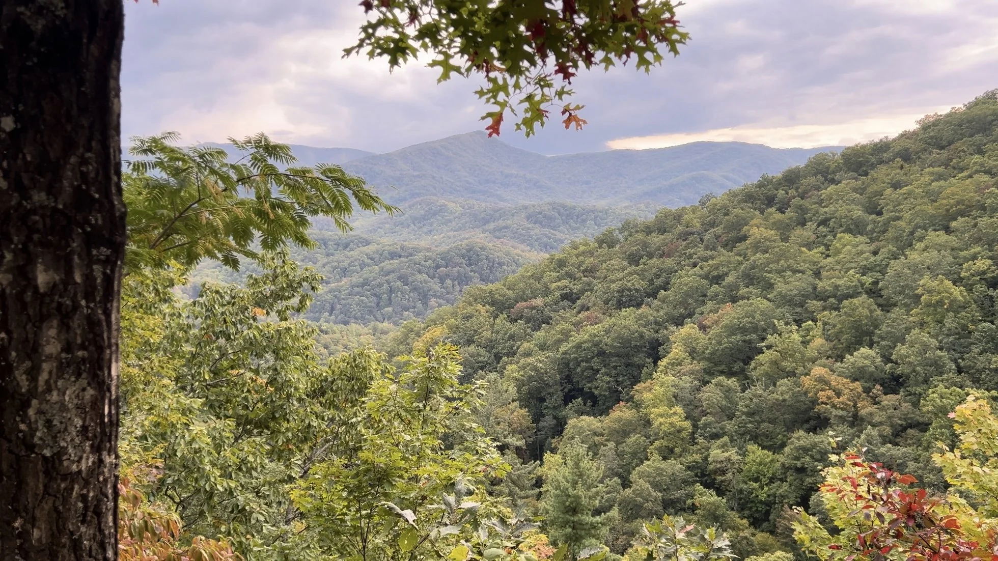
This is a lovely there-and-back hike to the Laurel Falls in the Great Smoky Mountains National Park, Tennessee. The trail is short and easy, following along a paved track as it meanders under the lush canopy of the forest. The falls are impressive and add a refreshing note to the hike.

Already more than 200,000 users!
Uphill
116m
Highest point
813m
Downhill
116m
Lowest point
695m
Route type
There and back
Download the map on your smartphone to save battery and rest assured to always keep access to the route, even without signal.
Includes IGN France and Swisstopo.
I indicate whether dogs are allowed or prohibited on this trail
All year
0 ratings
Also enjoy:

Already more than 200,000 users!


