Uphill
490m
Length
9km
Duration
3h30min
Elev gain
490m
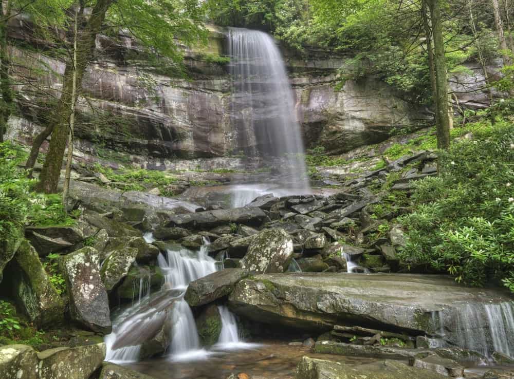
This is a lovely there-and-back hike along the Rainbow Falls Trail in the Great Smoky Mountains National Park, Tennessee. The trail is moderate and follows a manageable uphill gradient along the LeConte Creek, finally leading to the lovely falls. The trail can be very popular when the weather is good. The landscape is lovely inside the forest with low rising mountains in the distance.

Already more than 200,000 users!
Uphill
490m
Highest point
1285m
Downhill
490m
Lowest point
787m
Route type
There and back
Download the map on your smartphone to save battery and rest assured to always keep access to the route, even without signal.
Includes IGN France and Swisstopo.
I indicate whether dogs are allowed or prohibited on this trail
All year
0 ratings
Also enjoy:

Already more than 200,000 users!


