Uphill
529m
Length
9km
Duration
4h
Elev gain
529m
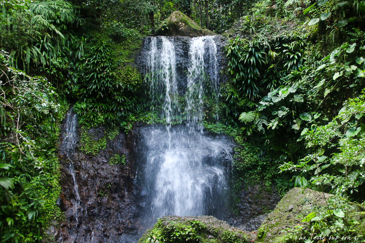
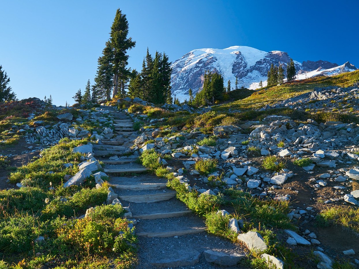
This is a mesmerizing loop along the Skyline trail in the Mount Rainier National Park, Washington. The trail is relatively challenging with an immediate steep uphill on the first 3.5 km; many hikers opt for a clockwise tour. The landscapes on the way, passing through dense forests, distant glaciers, and beautiful waterfalls are spectacular, and the vistas from Panorama Point are simply breathtaking. This is one of the most popular routes on the south side of Mount Rainier.

Already more than 200,000 users!
Uphill
529m
Highest point
2147m
Downhill
529m
Lowest point
1653m
Route type
Loop
Download the map on your smartphone to save battery and rest assured to always keep access to the route, even without signal.
Includes IGN France and Swisstopo.
Henry M. Jackson Memorial Visitor Center carpark at the beginning of the trail.
I indicate whether dogs are allowed or prohibited on this trail
All year
0 ratings
Also enjoy:

Already more than 200,000 users!