Uphill
147m
Length
10km
Duration
3h
Elev gain
147m
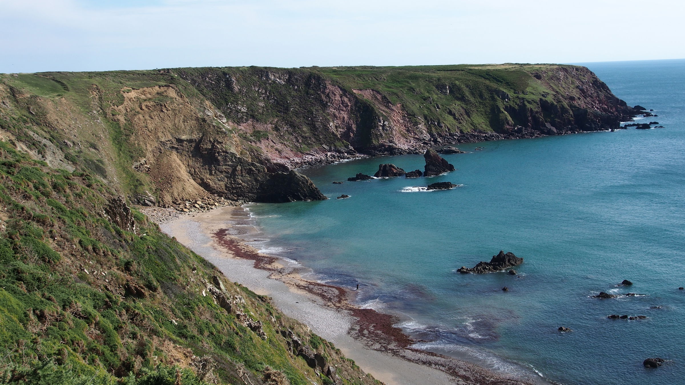
This is a wonderful loop in Pembrokeshire Coast National Park along the Marloes Peninsula with stunning coastal scenery. The path is moderate following a narrow path starting at Marloes Sands car park, leading towards Gateholm Island along the coast path before looping back around inland. The views on the dramatic cliffs, incredible islands like Skomer and Grassholm teeming with seabirds, and excellent opportunities for spotting seals and porpoises, make this walk rich in scenery and wildlife alike.

Already more than 200,000 users!
Uphill
147m
Highest point
58m
Downhill
147m
Lowest point
7m
Route type
Loop
Download the map on your smartphone to save battery and rest assured to always keep access to the route, even without signal.
Includes IGN France and Swisstopo.
I indicate whether dogs are allowed or prohibited on this trail
All year
0 ratings
Also enjoy:

Already more than 200,000 users!


