Uphill
153m
Length
6km
Duration
2h
Elev gain
153m
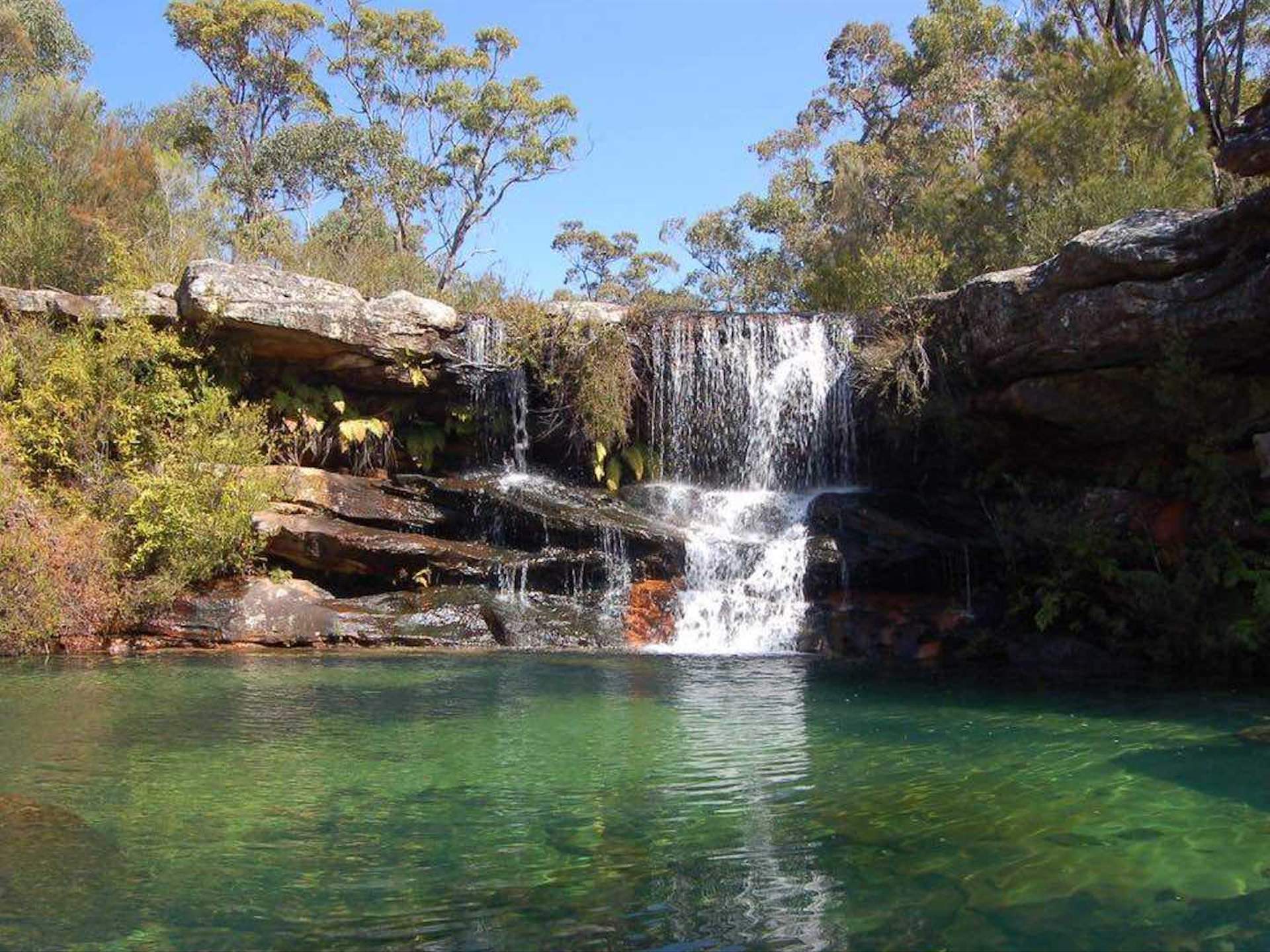
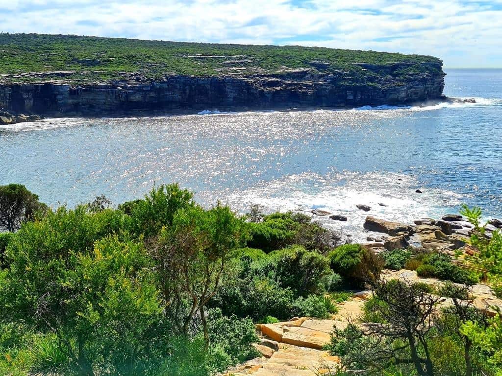
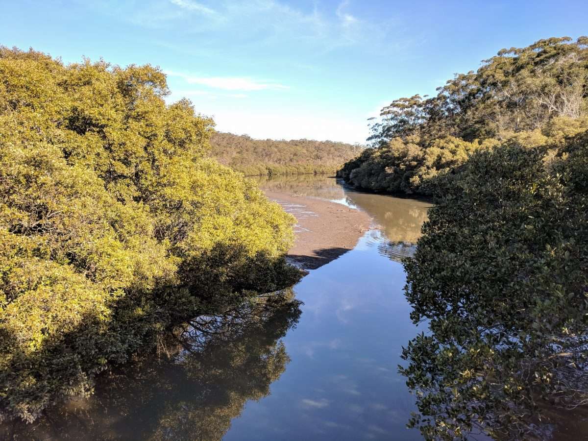
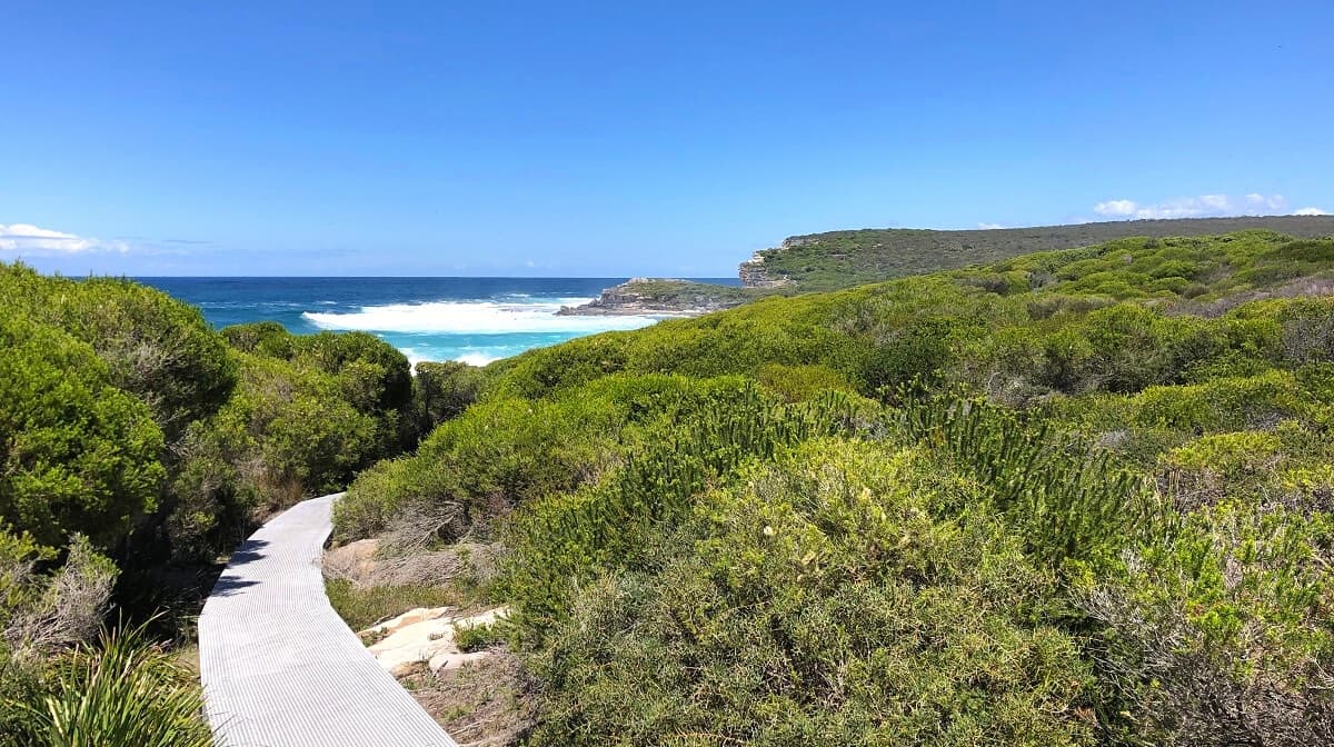
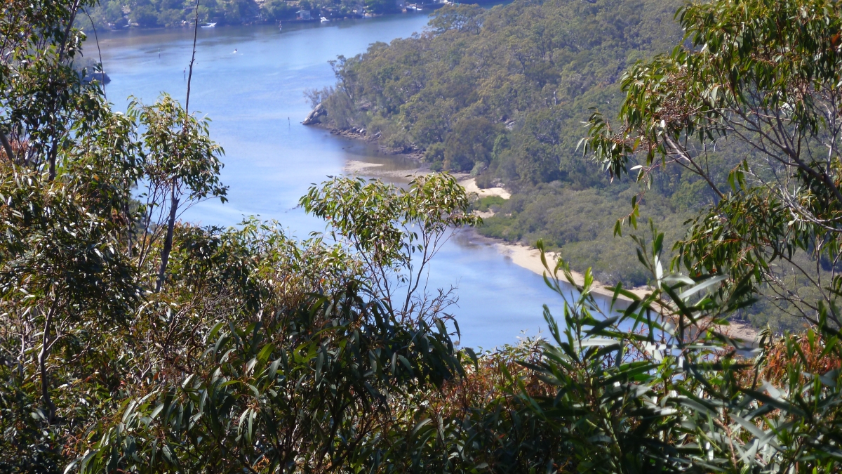
This is a quaint loop following the Hacking River beginning in Grays Point to Audley Road in the south of Sutherland. The trail is moderate, combining stair sections with gravel road and narrow footpaths. It follows Florence Parade in the second part. The views on the river are quite scenic and the flora is lush and vibrant adding to the beauty of the walk.

Already more than 200,000 users!
Uphill
153m
Highest point
121m
Downhill
153m
Lowest point
8m
Route type
Loop
Download the map on your smartphone to save battery and rest assured to always keep access to the route, even without signal.
Includes IGN France and Swisstopo.
I indicate whether dogs are allowed or prohibited on this trail
All year
0 ratings
Also enjoy:

Already more than 200,000 users!