Uphill
252m
Length
9km
Duration
3h
Elev gain
252m
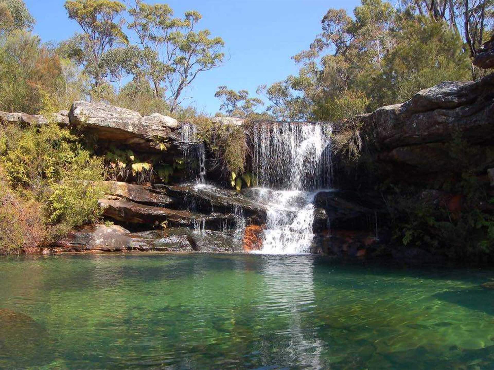
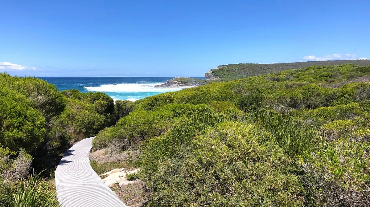
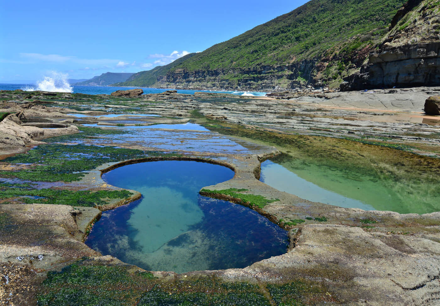
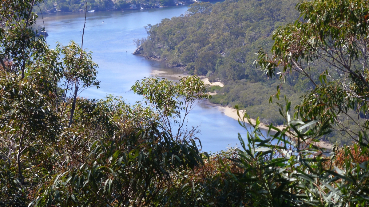
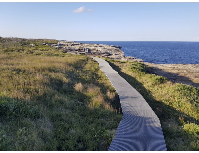
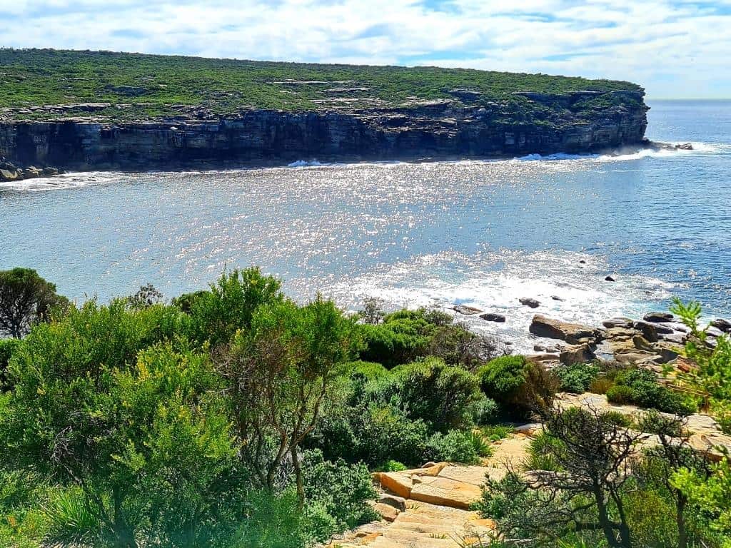
This is a great coastal there-and-back hike from Wattamolla Beach to Eagle Rock on the Coast Track in the Royal National Park in New South Wales. The track is relatively easy, part boardwalk, part coastal trail. It offers beautiful views of the open ocean and the dramatic cliffs, and there are also waterfalls falling into the sea. It’s a fantastic option for a day outing by the sea!

Already more than 200,000 users!
Uphill
252m
Highest point
62m
Downhill
252m
Lowest point
0m
Route type
There and back
Download the map on your smartphone to save battery and rest assured to always keep access to the route, even without signal.
Includes IGN France and Swisstopo.
I indicate whether dogs are allowed or prohibited on this trail
All year
0 ratings
Also enjoy:

Already more than 200,000 users!